Campsite CC8
Campground
Campground · 3.2 mi from the trail
Closure in the area
There's a closure order in Grand Mesa, Uncompahgre and Gunnison National Forests. It doesn't name BEAR CREEK, so check the source for the area it covers (2 listed).
Gold Mountain Wildfire Roads and Trails Closure Order v 4.0
Agency closure covering Grand Mesa, Uncompahgre and Gunnison National Forests · USFS · Grand Mesa, Uncompahgre and Gunnison National Forests
Ophir Pass Road Closure
Agency closure covering Grand Mesa, Uncompahgre and Gunnison National Forests · USFS · Grand Mesa, Uncompahgre and Gunnison National Forests
Potter Basin Road Closure Order
Agency alert covering Grand Mesa, Uncompahgre and Gunnison National Forests · USFS · Grand Mesa, Uncompahgre and Gunnison National Forests
Beaver Park Road Closure Order
Agency alert covering Grand Mesa, Uncompahgre and Gunnison National Forests · USFS · Grand Mesa, Uncompahgre and Gunnison National Forests
TERMINATION OF ORDER - FIRE RESTRICTIONS
Agency alert covering Grand Mesa, Uncompahgre and Gunnison National Forests · USFS · Grand Mesa, Uncompahgre and Gunnison National Forests
As of · Source: USFS · Grand Mesa, Uncompahgre and Gunnison National Forests. Agencies don't list every closure — check before you go.
Bear Creek is a moderate out-and-back hike in Colorado's Gunnison Ranger District, part of the Grand Mesa, Uncompahgre and Gunnison National Forests. The trail is about 7.6 miles long, with a total elevation gain of 2,180 feet, and it starts at roughly 9,863 feet, rising to a high point of about 11,093 feet. The climb is front-loaded, with the steepest stretch at about 0.48 miles in, where the grade reaches 17 percent. The Forest Service manages the land, and the hike is rated moderate. Plan on about 3.5 hours for the round trip. The route is a single outing, so it pairs well with other stops in the area. Deadman Gulch Trail 420 is about a mile away, and Spring Creek offers canoeing at about 1.4 miles. For an overnight base, Mosca Campground is about 3.3 miles off, and the Cement Mountain/Julie Andrews Trail 553 is about 2.1 miles away.
Campsite CC8
Campground
Waunita Pass
Viewpoint
Places © OpenStreetMap contributors, Places © Overture Maps Foundation
More in Pitkin Campsite CC8CampingPhoto: Jeffrey Beall, CC BY 3.0 (via Wikimedia Commons)3.2 mi
Source: Roamze catalog (indexable pages within 10 miles, PostGIS distance)
 Horse Basin Trail 417Hiking · ~6 min drivePhoto: sean.bartell, CC BY-SA 2.0 (via Flickr)
 Middle Cement CreekHiking · ~7 min drivePhoto: sean.bartell, CC BY-SA 2.0 (via Flickr)
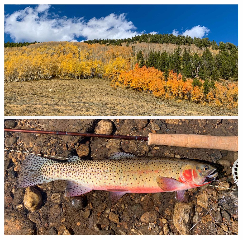 Bear Creek TrailHiking · ~6 min drivePhoto: thart2009, CC BY 2.0 (via Flickr)Walrod Gulch Cutoff Trail #418Hiking · ~8 min drivePhoto: sean.bartell, CC BY-SA 2.0 (via Flickr)Flag Creek TrailHiking · ~6 min drivePhoto: thart2009, CC BY 2.0 (via Flickr)WATERFALL CUTOFFHiking · ~7 min drivePhoto: sean.bartell, CC BY-SA 2.0 (via Flickr)

