Backscratch
- 3.4 mi
- round trip
- 679 ft
- climb
- 9,928 ft
- high point
- Out and back
- route
- Jun–Aug
- best months
Is Backscratch open right now?
Alert in the area
The Forest Service lists 3 alerts for Arapaho and Roosevelt National Forests.
Fire Restrictions
Agency alert covering Arapaho and Roosevelt National Forests · USFS · Arapaho and Roosevelt National Forests
Fire Restrictions
Agency alert covering Sulphur Ranger District · USFS · Sulphur Ranger District
Permanent Recreational Shooting Order
Agency alert covering Sulphur Ranger District · Order 02-10-00-25-02 · USFS · Sulphur Ranger District
As of · Source: USFS · Arapaho and Roosevelt National Forests. Agencies don't list every closure — check before you go.
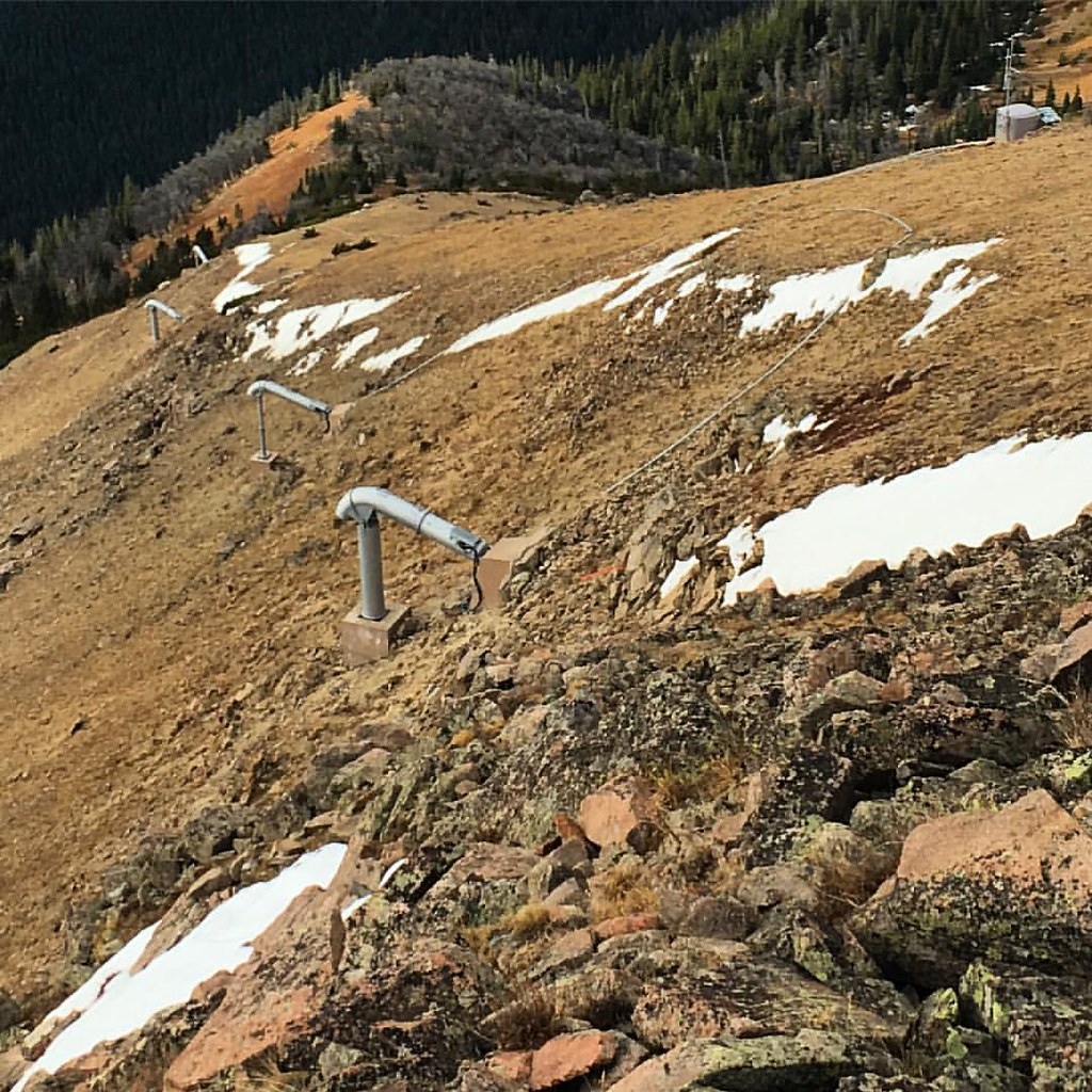
Backscratch is a moderate out-and-back hike in Colorado's Arapaho and Roosevelt National Forests, within the Sulphur Ranger District. The trail is about 3.4 miles long, with a one-way elevation gain of 679 feet, taking you from a low point of 9,244 feet to a high of 9,928 feet. The Forest Service manages the land, and the trail's natural surface and horse-friendly status make it a practical choice for riders as well as hikers. Summer is the most comfortable time to go. Typical averages from the nearby Fraser weather station, which sits about 1,368 feet lower, show July highs around 77°F with lows near 38°F, while winter highs stay around 31°F. The station's figures are only a guide, and temperatures on the trail run cooler. The hike is open from June 1 to November 15. St. Louis Creek Campground is about 2.7 miles away, and Byers Creek Campground is about 3.9 miles away. Mountain bikers can head to Tipperary Creek, about a mile off, and paddlers can reach Saint Louis Creek, about 3.5 miles away.
Local outfitters
- Camp Always Choose Adventures20 mi away
- Lostfork Basecamp35 mi away
Not on Roamze yet. Their page has how to reach them.
- Tipperary CreekMountain biking1 mi
- Crooked Creek/keyser CreekMountain biking1.3 mi
- St. Louis Creek CampgroundCamping2.7 mi
 Saint Louis CreekCanoeingPhoto: Jeffrey Beall, CC BY 4.0 (via Wikimedia Commons)3.5 mi
- Byers Creek CampgroundCamping3.9 mi
 Fraser RiverCanoeingPhoto: Jeffrey Beall, CC BY 4.0 (via Wikimedia Commons)5.5 mi
- Vasquez RoadRock climbing5.9 mi
- Grand County / Fraser ValleyRock climbing6.3 mi
Source: Roamze catalog (indexable pages within 10 miles, PostGIS distance)
 Upper IkoHiking · ~6 min drivePhoto: gregor_y, CC BY-SA 2.0 (via Flickr)
- UPPER ELK CREEKHiking · ~8 min drivePhoto: gregor_y, CC BY-SA 2.0 (via Flickr)
 ELK CREEK LOOPHiking · ~8 min drivePhoto: gregor_y, CC BY-SA 2.0 (via Flickr)
 Waterfall TrailHiking · ~7 min drivePhoto: denverkid, CC BY 2.0 (via Flickr)
- ZoomHiking · ~6 min drivePhoto: gregor_y, CC BY-SA 2.0 (via Flickr)
- Tipperary CreekHiking · ~4 min drive
- Upper Elk Creek TrailHiking · ~7 min drivePhoto: gregor_y, CC BY-SA 2.0 (via Flickr)
- ChainsawHiking · ~5 min drive
- DEAD HORSE LOOPHiking · ~4 min drive
- D-2 TrailHiking · ~7 min drivePhoto: gregor_y, CC BY-SA 2.0 (via Flickr)
Also worth it near here
 CreeksideMountain biking · ~5 min drivePhoto: Missvain, CC BY 4.0 (via Wikimedia Commons)
- St. Louis Creek CampgroundCamping · ~5 min drive
 Blue Ridge RoadCross-country skiing · ~5 min drivePhoto: Allison Jaeger, CC BY 3.0 (via Wikimedia Commons)
- Saint Louis CreekCanoeing · ~6 min drivePhoto: Jeffrey Beall, CC BY 4.0 (via Wikimedia Commons)
Best time to visit Backscratch
Best months: June–August. Best months have typical highs of 55–85 °F, lows of 30 °F or warmer (32 °F where the station doesn't record snow), at most one snowy day and no more than 12 wet days.
Jan
31° / -1°
11 wet
Feb
34° / 2°
10 wet
Mar
43° / 11°
9 wet
Apr
51° / 20°
8 wet
May
62° / 27°
7 wet
Jun
72° / 33°
6 wet
Jul
77° / 38°
9 wet
Aug
74° / 37°
10 wet
Sep
68° / 29°
8 wet
Oct
56° / 21°
7 wet
Nov
41° / 10°
8 wet
Dec
31° / -1°
10 wet
Typical high / low (°F) and days with rain or snow, 1991–2020. Measured at Fraser, CO, 5 mi away at 8,560 ft. The station sits about 1,400 ft lower than this place, so expect it a little cooler here. This station doesn't record snowfall. Source: NOAA NCEI U.S. Climate Normals 1991–2020.
Map and trail data © OpenStreetMap contributors
