Avalanche Campground
Campground
Campground · 0.9 mi from the trail
Caution at last check
Agency alerts are in effect for this area; weather is good · USFS, OpenWeather · checked 14 h ago
Alert in the area
The Forest Service lists 6 alerts for White River National Forest.
FSR 286, Radical Hill, is closed due to washouts and unsafe conditions
Agency alert covering White River National Forest · USFS · White River National Forest
Limited parking at Snowmass Creek Trailhead
Agency alert covering White River National Forest · USFS · White River National Forest
Grizzly Creek Trail Closure
Agency alert covering White River National Forest · Order 2026-02 · USFS · White River National Forest
Ruedi Marina Day Use area Dump Station is CLOSED
Agency alert covering White River National Forest · USFS · White River National Forest
Asbestos safety closure - Camp Hale
Agency alert covering White River National Forest · USFS · White River National Forest
As of · Source: USFS · White River National Forest. Agencies don't list every closure — check before you go.
Avalanche is a hard hike in Colorado's Maroon Bells-Snowmass Wilderness, within the Sopris Ranger District of the White River National Forest. The trail is an out-and-back route of about 20.8 miles, with a one-way elevation gain of 2,871 feet, starting at a low point of 7,333 feet and reaching a high point of 11,068 feet. The Forest Service manages the land, and the trail is natural-surfaced and open to horses. The Avalanche Creek Trailhead is the parking for the trip, and the route is open year-round. Avalanche Campground sits about a mile away, and Redstone Family Campground is roughly 2.8 miles off. Climbers can find The Watchtower and The Industrial Wall about 2 miles from the trail.
Avalanche Campground
Campground
Marble Distilling Co and The Distillery Inn
Brewery
Thermal springs in Colorado
Places © OpenStreetMap contributors
More in Glenwood SpringsSource: Roamze catalog (indexable pages within 10 miles, PostGIS distance)
 Williams LakeHiking · ~8 min drivePhoto: lamblukas, CC BY 2.0 (via Flickr)Capitol Ditch TrailHiking · ~9 min drivePhoto: lamblukas, CC BY 2.0 (via Flickr)
 Nickelson CreekHiking · ~10 min drivePhoto: lamblukas, CC BY 2.0 (via Flickr)Capitol Peak: Approach to 12,100 ftHiking · ~10 min drivePhoto: lamblukas, CC BY 2.0 (via Flickr)Hardscrabble LakeHiking · ~9 min drivePhoto: lamblukas, CC BY 2.0 (via Flickr)Lower Capital TrailHiking · ~11 min drivePhoto: lamblukas, CC BY 2.0 (via Flickr)
 Capitol CreekHiking · ~13 min drivePhoto: lamblukas, CC BY 2.0 (via Flickr)
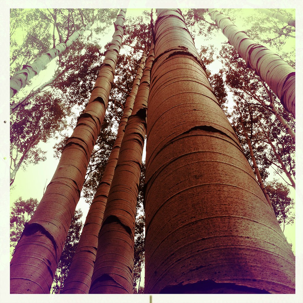 Mcclure Pass X-C SkiHiking · ~14 min drivePhoto: denverkid, CC BY 2.0 (via Flickr)
 HUNTSMAN RIDGEHiking · ~14 min drivePhoto: denverkid, CC BY 2.0 (via Flickr)

