Chief Hosa Campground
Campground
Campground · 1.3 mi from the trail
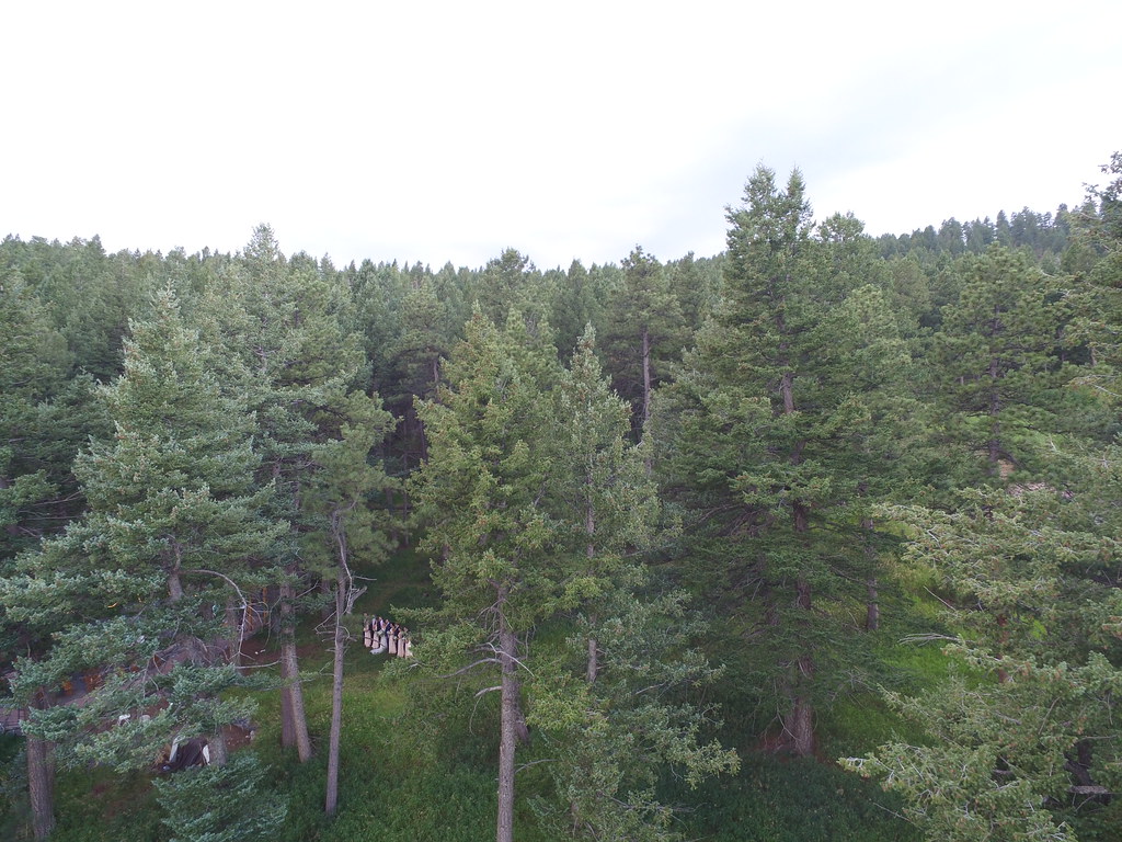 Photo: VasenkaPhotography, CC BY 2.0 (via Flickr)
The American Bison Trail is a short, easy out-and-back hike in Genesee Park, Colorado, on land managed jointly. The route is about 1.2 miles long, with a total climb of 495 feet and a high point of 8,102 feet. It starts at roughly 8,018 feet and ends at about the same elevation, so the round trip is a little under a mile and a half. Summer is the most comfortable time to go. Typical averages from a nearby weather station in Evergreen show July highs around 81°F with lows near 49°F, while winter highs sit in the mid-40s. That station sits about 1,100 feet lower than the trail, so temperatures on the trail run cooler. The Genesee Summit Trail lies just 0.2 miles away, and the Genesee Mountain Trail is about 0.7 miles off. Climbers can head to Garden Wall, about 2.5 miles away, and Clear Creek RV Park offers camping about 4.6 miles from the trail.
Chief Hosa Campground
Campground
Genesee Pub and BBQ
Pub
 If it rainsClyde Charles Brown, CC BY-SA 4.0 · Wikimedia Commons
University museum, geology in CO, United States
Places © OpenStreetMap contributors · Photos: Clyde Charles Brown, CC BY-SA 4.0 (commons)
More in Idaho SpringsNot on Roamze yet. Their page has how to reach them.
Daily highs and lows, wind and the chance of precipitation at the summit and route start for the next 7 days, from the Open-Meteo model.
Genesee Summit TrailHikingPhoto: VasenkaPhotography, CC BY 2.0 (via Flickr)0.2 mi Clear Creek RV ParkCampingPhoto: cogdogblog, CC BY 2.0 (via Wikimedia Commons)4.6 mi
 Bear CreekCanoeingPhoto: Footwarrior, CC BY-SA 3.0 (via Wikimedia Commons)5.1 mi
Source: Roamze catalog (indexable pages within 10 miles, PostGIS distance)
Genesee Summit TrailHiking · Next doorPhoto: VasenkaPhotography, CC BY 2.0 (via Flickr) Meadow Loop TrailHiking · ~5 min drivePhoto: TexasExplorer98, CC BY 2.0 (via Flickr)
 Mount Morrison TrailHiking · ~8 min drivePhoto: Jesse James — CC BY 2.0 (via Flickr)
 Beaver Brook TrailHiking · ~4 min drivePhoto: Jesse James — CC BY 2.0 (via Flickr)
 Bear Creek TrailHiking · ~5 min drivePhoto: Bryan Pocius, CC BY 2.0 (via Flickr)Enchanted Forest TrailHiking · ~4 min drivePhoto: Jesse James — CC BY 2.0 (via Flickr)
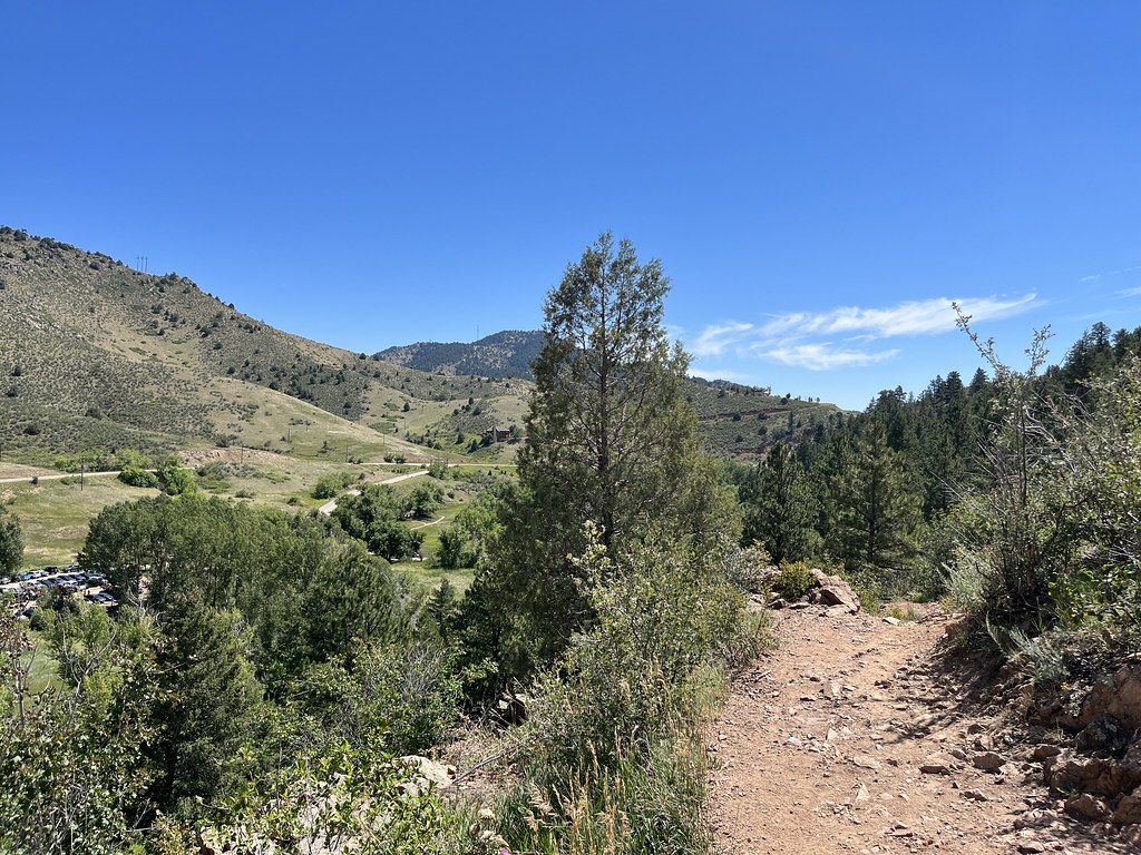 Creekside TrailHiking · ~5 min drivePhoto: ChrisYunker, CC BY 2.0 (via Flickr)Bruin Bluff TrailHiking · ~5 min drivePhoto: ChrisYunker, CC BY 2.0 (via Flickr)
 Clear Creek TrailHiking · ~6 min drivePhoto: pingnews.com, CC BY-SA 2.0 (via Flickr)
 Beaver Brook TrailHiking · ~5 min drivePhoto: cogdogblog, CC BY 2.0 (via Wikimedia Commons)
Best months: May–September. Best months have typical highs of 55–85 °F, lows of 30 °F or warmer (32 °F where the station doesn't record snow), at most one snowy day and no more than 12 wet days.
Jan
44° / 12°
5 wet
Feb
44° / 13°
6 wet
Mar
51° / 21°
7 wet
Apr
56° / 27°
8 wet
May
64° / 36°
10 wet
Jun
76° / 43°
10 wet
Jul
81° / 49°
12 wet
Aug
79° / 47°
12 wet
Sep
73° / 40°
8 wet
Oct
61° / 29°
6 wet
Nov
51° / 20°
5 wet
Dec
44° / 13°
5 wet
Typical high / low (°F) and days with rain or snow, 1991–2020. Measured at Evergreen, CO, 4.8 mi away at 6,985 ft. The station sits about 1,100 ft lower than this place, so expect it a little cooler here. This station doesn't record snowfall. Source: NOAA NCEI U.S. Climate Normals 1991–2020.
About 0.6 mi round trip.
About 495 ft of climbing round trip.
It is rated easy.
About 0.5 hours round trip.
2: Genesee Summit Trail and American Bison Trail.
Map and trail data © OpenStreetMap contributors


