Abrams Ridge
- 3.2 mi
- distance
- 800 ft
- climb
- 7,200 ft
- high point
- Easy
- difficulty
- Jun–Sep
- best months
Abrams Ridge is an easy hike in Colorado, about 2 miles from the town of Eagle. The trail is roughly 3.2 miles long and climbs about 800 feet to a high point of 7,200 feet. Summer is the most comfortable time to go. Typical July averages from a nearby weather station at Meredith run around 81°F for highs and 40°F for lows, while winter highs there stay near freezing. Several other outdoor spots sit close by. The 3rd Gulch mountain biking area is about a mile away, and Elmers is just beyond it. For paddling, Brush Creek is about 2.5 miles off, and Gypsum Campground is about 8.5 miles away.
Go with a guide
- Mineral Belt Trail Guided WalkNexPM AI · $25 per person · 39 mi away
- Rancho Del Rio22 mi away
- 3rd gulchMountain biking1.2 mi
- ElmersMountain biking1.3 mi
- Brush CreekCanoeing2.5 mi
- Gypsum CreekCanoeing7.4 mi
- Milk Creek (aka Wolcott Entrada Band - East)Rock climbing8.3 mi
- Wolcott Crags and BouldersRock climbing8.3 mi
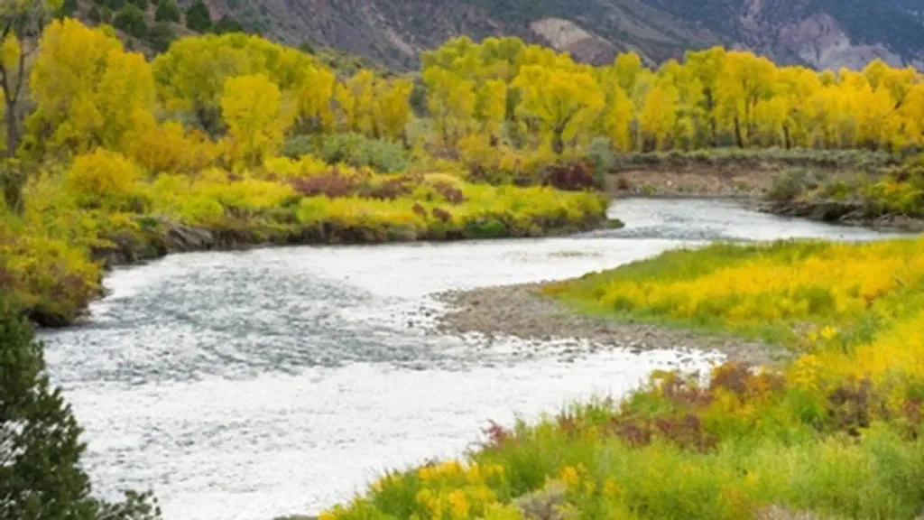 Gypsum CampgroundCampingPhoto: Recreation.gov (RIDB) / public domain8.5 mi
- Wolcott CampgroundCamping8.8 mi
Source: Roamze catalog (indexable pages within 10 miles, PostGIS distance)
 Old Fulford Trail No 419Hiking · ~16 min drivePhoto: Melissa Johnson — CC BY 2.0 (via Flickr)
- Salt CreekHiking · ~14 min drive
- SundellHiking · ~15 min drive
- Yates GulchHiking · ~15 min drive
- Pole TrailHiking · ~4 min drive
- Stag GulchHiking · ~15 min drive
- Colorow CreekHiking · ~16 min drive
- TAYLOR CREEKHiking · ~22 min drive
- Pole TrailHiking · ~4 min drive
- West Brush Creek TrailHiking · ~19 min drive
Best time to visit Abrams Ridge
Best months: June–September. Best months have typical highs of 55–85 °F, lows of 30 °F or warmer (32 °F where the station doesn't record snow), at most one snowy day and no more than 12 wet days.
Jan
34° / 4°
Feb
36° / 6°
Mar
43° / 13°
Apr
51° / 21°
May
63° / 28°
Jun
75° / 34°
Jul
81° / 40°
Aug
80° / 39°
Sep
71° / 32°
Oct
61° / 23°
Nov
45° / 13°
Dec
34° / 5°
Typical high / low (°F) and days with rain or snow, 1991–2020. Measured at Meredith, CO, 18.9 mi away at 7,825 ft. The station sits about 600 ft higher than this place, so expect it a little warmer here. This station doesn't record snowfall. Source: NOAA NCEI U.S. Climate Normals 1991–2020.

Map and trail data © OpenStreetMap contributors
