The Camp
Campground
Campground · 1.0 mi from the trail
Road closed
CO 42: road closure is listed as closed by CDOT 511.
CO 42: road closure
Closed · ~1.8 km from 6 & 50 Trail · CDOT 511
As of · Source: CDOT 511. Agencies don't list every closure — check before you go.
The 6 & 50 Trail is a short, easy hike in western Colorado, about 1.3 miles from the town of Rosevale. The route is an out-and-back of roughly 0.7 miles, with a total climb of about 23 feet. It starts at around 4,552 feet and reaches a high point of about 4,559 feet, so the trail is nearly flat from start to finish. Spring and fall are the most comfortable times to go. Typical averages from a nearby weather station in Grand Junction show May highs around 77°F and October highs around 67°F, while July averages about 95°F. Several other spots sit close by. The Riverside Parkway MUP and Riverfront Trail are both within a mile for mountain biking, and The Camp campground is about a mile away. The Audobon Trail is a hike about 1.1 miles off.
The Camp
Campground
 If it rainsJeffrey Beall, CC BY-SA 3.0 · Wikimedia Commons
Places © OpenStreetMap contributors · Photos: Jeffrey Beall, CC BY-SA 3.0 (commons)
More in CliftonNot on Roamze yet. Their page has how to reach them.
 Lancer BoulderRock climbingPhoto: Owen Richard, CC BY-SA 2.0 (via Flickr)2.5 mi
Source: Roamze catalog (indexable pages within 10 miles, PostGIS distance)
 Waterfowl Loop TrailHiking · ~3 min drivePhoto: foto3116, CC BY 2.0 (via Flickr)Connected Lakes TrailHiking · ~4 min drivePhoto: foto3116 — CC BY 2.0 (via Flickr)Kingfisher TrailHiking · ~3 min drivePhoto: foto3116, CC BY 2.0 (via Flickr)
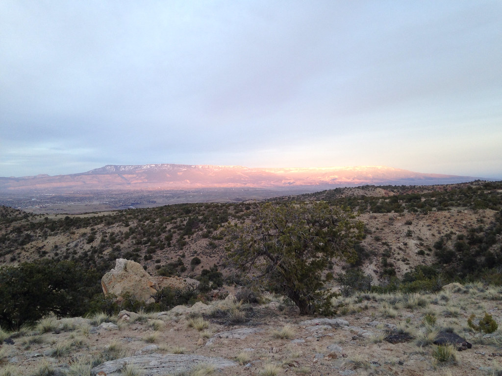 Holy Cross TrailHiking · ~6 min drivePhoto: iagoarchangel, CC BY-SA 2.0 (via Flickr)Bluffs TrailHiking · ~4 min drivePhoto: foto3116, CC BY 2.0 (via Flickr)
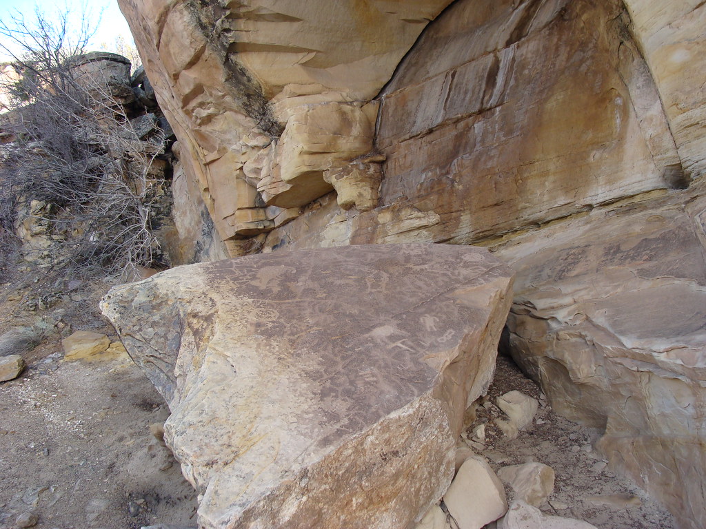 Eagle's Connector TrailHiking · ~6 min drivePhoto: iagoarchangel, CC BY-SA 2.0 (via Flickr)
 Yes N Dee Dee TrailHiking · ~4 min drivePhoto: iagoarchangel, CC BY-SA 2.0 (via Flickr)
Also worth it near here
Lancer BoulderRock climbing · ~4 min drivePhoto: Owen Richard, CC BY-SA 2.0 (via Flickr) Ali Alley TrailMountain biking · ~5 min drivePhoto: Jimmy Thomas from Grand Junction, CC BY-SA 2.0 (via Wikimedia Commons)
 Canyon View RV ParkCamping · ~5 min drivePhoto: Milonica, CC BY-SA 3.0 (via Wikimedia Commons)
Best months: March–May and September–October. Best months have typical highs of 55–85 °F, lows of 30 °F or warmer (32 °F where the station doesn't record snow), at most one snowy day and no more than 12 wet days.
Jan
39° / 19°
Feb
47° / 26°
Mar
59° / 35°
Apr
67° / 41°
May
77° / 50°
Jun
89° / 59°
Jul
95° / 66°
Aug
91° / 64°
Sep
82° / 55°
Oct
67° / 42°
Nov
52° / 30°
Dec
39° / 21°
Typical high / low (°F) and days with rain or snow, 1991–2020. Measured at Grand Junction Wfo, CO, 4 mi away at 4,826 ft. This station doesn't record snowfall. Source: NOAA NCEI U.S. Climate Normals 1991–2020.
Map and trail data © OpenStreetMap contributors
