
Rancho Del Rio
Fishing business nearby (~28 mi away) — hasn't claimed their Roamze page yet
Free — you'll pick up right here.
Watch this water
Sign up to watch it — saving subscribes you to gate, closure and report changes.
Colorado
We won't guess. Here is exactly what we do and don't know.
What we do know
Inside White River National Forest
2 managing-area boundaries mapped — agency alerts for them feed this page automatically.
Boundary data
What's missing
No access route mapped
We don't yet know which road reaches this trailhead, so we can't tell you if it's gated.
Nobody's filed a report here yet — be the first.
Why you'll love it
Lake Charles
AI-suggested draft · review before you go
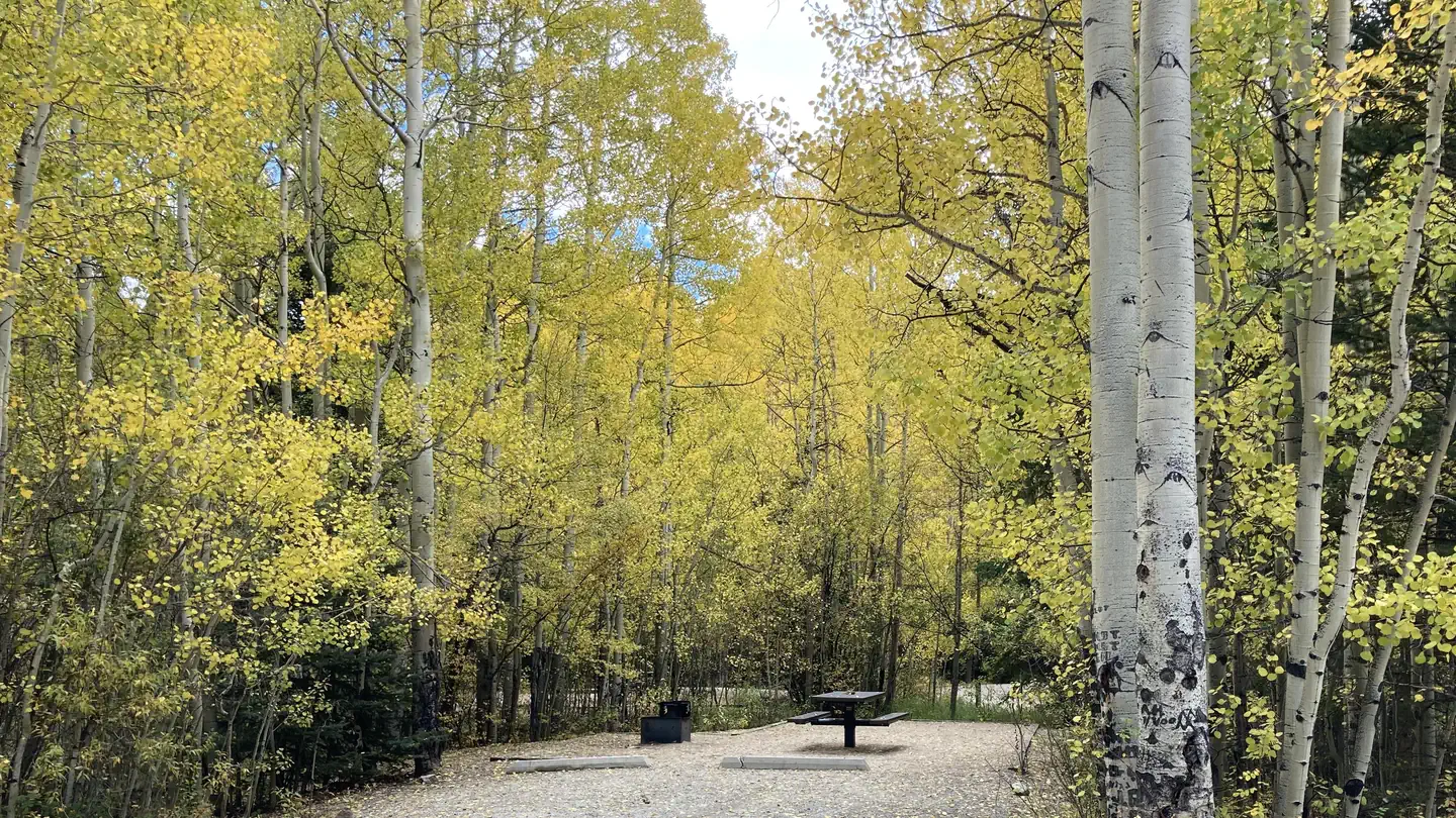
The Lake Charles Trail begins near the Fulford Cave Campground, passes Lake Charles and ends at Mystic Island Lake. The trail follows East Brush Creek up to both Lake Charles (4.1 mi) and Mystic Island Lake (4.7) in the Holy Cross Wilderness where regulations apply. It is a generally a gradual climb with two short areas that are quite steep. The trail is rocky with exposed tree roots and a few stream crossings passing through aspen changing to dense pine, spruce and fir. Lake Charles has a spectacular view of Fool’s Peak, 12, 947 ft. and a classic glacial cirque at the end of the valley above Mystic Island Lake.View a printable Recreation Quicksheet for this trail which contains directions, a map, details, and other information.
May Queen
~33 min drive
A worthwhile stop near Colorado.
Father Dyer
~38 min drive
A worthwhile stop near Colorado.
Roaring Fork River - Basalt
~37 min drive
Hard
Fryingpan River - Ruedi Tailwater
~28 min drive
Expert
Nolan Lake
~3 min drive
A worthwhile stop near Colorado.
Lake Thomas
~7 min drive
A worthwhile stop near Colorado.
Beaver Lake
~18 min drive
A worthwhile stop near Colorado.
Sneve Gulch
~7 min drive
A worthwhile stop near Colorado.
Missouri Lakes
~21 min drive
A worthwhile stop near Colorado.
Sylvan Lake
~7 min drive
A worthwhile stop near Colorado.
Local operatorsoffering guided trips. You book directly with them — Roamze doesn’t take a cut.
Rancho Del Rio
Fishing business nearby (~28 mi away) — hasn't claimed their Roamze page yet
Cutthroat Anglers
Fishing business nearby (~33 mi away) — hasn't claimed their Roamze page yet
Glenwood Canyon Resort
Fishing business nearby (~34 mi away) — hasn't claimed their Roamze page yet
