
Tuolumne Peak
About
Tuolumne Peak is a summit of about 10,849 feet in Tuolumne County, California, inside Yosemite National Park and the Yosemite Wilderness. The National Park Service manages the land, and the nearest town is Yosemite Valley, about 10.5 miles away. The East Face climbing area sits just 0.1 mile from the summit, and That Scary Looking Buttress is about a mile off. For hiking, Murphy Creek Trail is roughly 1.3 miles away and Mount Hoffman Trail about 2.2 miles. Tuolumne Meadows Campground, about 6.8 miles away, is the closest place to camp.
Summit Facts
Summit elevation
10,849 ft
Land manager
National Park Service
Elevation from USGS 3D Elevation Program terrain data (about 10 m resolution).
Location
Tuolumne Peak
California
Name and location: U.S. Geological Survey, Geographic Names Information System (GNIS). Elevation: USGS 3D Elevation Program. View the GNIS record.
Facts about this place
Where it is
- Yosemite Wilderness · Wilderness
- Yosemite National Park · National Park Service
- Nearest town
- Yosemite Valley, California · 11 mi
- Managed by
- National Park Service
Conditions
Active alerts for Yosemite National Park as of Oct 9, 2026:
Glacier Point Road is closed due to the Dome Fire until 10/10 at 7 am
Park Closure · posted Oct 9, 2026
Source: NPS Alerts API
Nearby
- East FaceRock climbing0.1 mi
- That Scary Looking ButtressRock climbing1 mi
- Murphy Creek TrailHiking1.3 mi
- May Lake - Battle TanksRock climbing1.7 mi
 Polly Dome Lakes TrailHikingPhoto: derlandsknecht, CC BY-SA 2.0 (via Flickr)1.8 mi
 Mount Hoffman TrailHikingPhoto: Alvarock Garcia, CC BY 3.0 (via Wikimedia Commons)2.2 mi
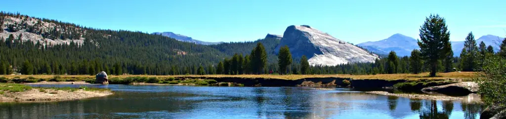 Tuolumne Meadows CampgroundCampingPhoto: Recreation.gov (RIDB) / public domain6.8 mi
- Tuolumne RiverCanoeing8.3 mi
Source: Roamze catalog (indexable pages within 10 miles, PostGIS distance)
Is Tuolumne Peak open right now?
No closures listed
The National Park Service lists no closures for Yosemite National Park.
As of · Source: NPS · Yosemite National Park. Agencies don't list every closure — check before you go.
