
Mountain · 1 route
Thunderbolt Peak
13,978 ft · California
Photo: Jonathan Fox from Carson City, United States, CC BY-SA 2.0 (via Wikimedia Commons)
- Summit
- 13,978 ft
- Routes
- 1 way up
- Managed by
- National Park Service
Route up Thunderbolt Peak
About Thunderbolt Peak
Thunderbolt Peak is a summit in Inyo County, California, at about 13,978 feet. It sits in the John Muir Wilderness.
Forecast on Thunderbolt Peak
Daily highs and lows, wind and the chance of precipitation at the summit and big pine creek trailhead for the next 7 days, from the Open-Meteo model.
Questions about Thunderbolt Peak
How tall is Thunderbolt Peak?
13,978 ft (4,260 m).
How many routes go to the summit of Thunderbolt Peak?
One: Thunderbolt Peak.
Where do the routes up Thunderbolt Peak start?
Thunderbolt Peak starts at Big Pine Creek Trailhead.
Mountains nearby
 Mount Sill14,140 ft · California1 route0.7 mi awayPhoto: Jonathan Fox, CC BY-SA 2.0 (via Wikimedia Commons)
 Mount Agassiz13,886 ft · California1 route1.2 mi awayPhoto: Justin, CC BY 2.0 (via Wikimedia Commons)
 Aperture Peak13,237 ft · California1 route1.6 mi awayPhoto: Jonathan Fox, CC BY-SA 2.5 (via Wikimedia Commons)
- Gendarme Peak13,223 ft · California1 route2.2 mi away
- Picture Puzzle13,270 ft · California1 route2.4 mi away
 Cloudripper13,497 ft · California1 route3.2 mi awayPhoto: Tim Berger, CC BY 2.0 (via Wikimedia Commons)
Facts about this place
Where it is
- John Muir Wilderness · Wilderness
- Kings Canyon National Park · National Park Service
- Nearest town
- Big Pine, California · 13 mi
- Managed by
- National Park Service
Source: Wilderness.net boundaries; USGS PAD-US 4.1; USGS GNIS populated places
Nearby
- Palisades & Surrounding PeaksRock climbing1.3 mi
- Isosceles PeakRock climbing1.4 mi
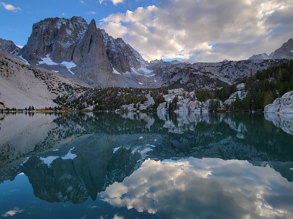 Palisade Glacier TrailHikingPhoto: Moo.The.Cow, CC BY 2.0 (via Flickr)2.2 mi
- Fifth Lake SpurHikingPhoto: Moo.The.Cow, CC BY 2.0 (via Flickr)2.3 mi
- Upper Sage FlatCamping5 mi
- Big Pine Creek CampgroundCamping5.1 mi
 Table MountainRiver fishing8.1 mi
- Middle Fork Bishop CreekCanoeing9.8 mi
Source: Roamze catalog (indexable pages within 10 miles, PostGIS distance)
