Pinoche Peak
About
Pinoche Peak is a summit in the Bass Lake Ranger District of Sierra National Forest in California, about 2.8 miles from the town of El Portal. Typical averages from the Yosemite Village 12 W weather station, about 9 miles away at 6,620 feet, show a strong seasonal swing. Summer is the warmest and driest stretch: July and August highs reach about 75°F with lows near 60°F and only about one wet day each month. June and September are milder, with highs around 67°F and 70°F and just two or three wet days. October cools to highs near 60°F. From November through April, highs stay in the 40s, lows hover around freezing from December through March, and wet days climb to roughly 8 to 10 a month. Late spring through early fall offers the most settled conditions, with July and August the driest months. Nearby, the Pinoch Ridge and South Fork Merced hikes lie within about 4 miles, Road Closure Crag offers climbing a little over 3 miles away, and Dry Gulch campground sits about 4 miles off.
Summit Facts
Summit elevation
5,758 ft
Elevation from USGS 3D Elevation Program terrain data (about 10 m resolution).
Location
Pinoche Peak
California
Name and location: U.S. Geological Survey, Geographic Names Information System (GNIS). Elevation: USGS 3D Elevation Program. View the GNIS record.
Facts about this place
When to go
Best time to go: Jun–Oct. The mildest months here, with typical highs of 60–75°F and lows of 46–60°F.
Typical monthly averages (not a forecast) from the Yosemite Village 12 W, CA weather station, 8.9 mi away. High / low in °F.
- Jan44° high32° low
- Feb42° high31° low
- Mar45° high32° low
- Apr49° high36° low
- May58° high43° low
- Jun67° high52° low
- Jul75° high60° low
- Aug75° high59° low
- Sep70° high54° low
- Oct60° high46° low
- Nov49° high37° low
- Dec43° high32° low
Where it is
- Bass Lake Ranger District · Ranger district
- Sierra National Forest · National forest
- Nearest town
- El Portal, California · 2.7 mi
Conditions
Active alerts for Bass Lake Ranger District as of Oct 9, 2026:
Mammoth Pool Boat Launch Rehabilitation
caution · posted Aug 24, 2026
Mammoth Pool Boat Launch Order Termination
information · posted Aug 24, 2026
Source: USFS forest alerts
Nearby
 Road Closure CragRock climbingPhoto: btwashburn, CC BY 2.0 (via Flickr)3.3 mi
- Aa. Parkline SlabRock climbing3.4 mi
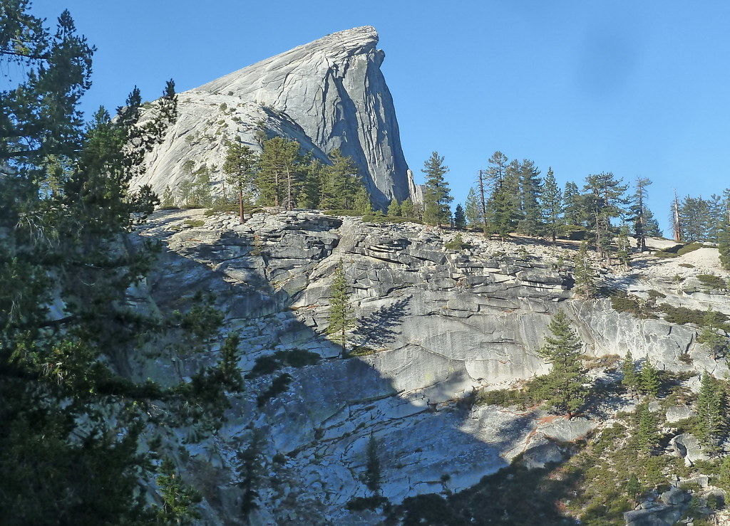 Pinoch RidgeHikingPhoto: scorpio-tiger, CC BY-SA 2.0 (via Flickr)3.6 mi
- South Fork MercedHiking3.7 mi
- Ac. U.S.G.S. WallRock climbing3.8 mi
- Dry GulchCamping4.2 mi
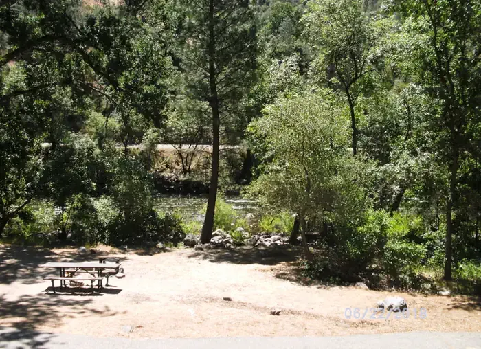 Dirt FlatCampingPhoto: Recreation.gov (RIDB) / public domain4.2 mi
- South Fork Merced RiverCanoeing8.1 mi
Source: Roamze catalog (indexable pages within 10 miles, PostGIS distance)
Is Pinoche Peak open right now?
Closure in the area
There's a closure order in Sierra National Forest. It doesn't name Pinoche Peak, so check the source for the area it covers (3 listed).
Safety Tips for Burned Areas: Garnet Fire Area
Agency closure covering Sierra National Forest · USFS · Sierra National Forest
Wilderness Food and Refuse Storage
Agency closure covering Sierra National Forest · Order 05-15-00-26-03 · USFS · Sierra National Forest
Food and Refuse Storage
Agency closure covering Sierra National Forest · Order 05-15-00-26-02 · USFS · Sierra National Forest
Forest Order removes Fish Camp, Soda Springs, and Little Jackass from closure list
Agency alert covering Sierra National Forest · Order 05-15-00-26-11 · USFS · Sierra National Forest
Ansel Adams and John Muir Wilderness Campfire Restrictions
Agency alert covering Sierra National Forest · Order 05-15-00-26-09 · USFS · Sierra National Forest
As of · Source: USFS · Sierra National Forest. Agencies don't list every closure — check before you go.
Best time to visit Pinoche Peak
Best months: May–October. Best months have typical highs of 55–85 °F, lows of 30 °F or warmer (32 °F where the station doesn't record snow), at most one snowy day and no more than 12 wet days.
Jan
44° / 32°
10 wet
Feb
42° / 31°
9 wet
Mar
45° / 32°
10 wet
Apr
49° / 36°
8 wet
May
58° / 43°
7 wet
Jun
67° / 52°
3 wet
Jul
75° / 60°
1 wet
Aug
75° / 59°
1 wet
Sep
70° / 54°
2 wet
Oct
60° / 46°
4 wet
Nov
49° / 37°
7 wet
Dec
43° / 32°
9 wet
Typical high / low (°F) and days with rain or snow, 1991–2020. Measured at Yosemite Village 12 W, CA, 8.9 mi away at 6,620 ft. The station sits about 900 ft higher than this place, so expect it a little warmer here. This station doesn't record snowfall. Source: NOAA NCEI U.S. Climate Normals 1991–2020.
