
Mount Watkins
About
Mount Watkins is a summit of 8,495 feet in the Yosemite Wilderness, within Yosemite National Park in California, managed by the National Park Service. The nearest town is Yosemite Valley, about 4 miles away. Summer is the most comfortable time to go. Typical averages from a nearby weather station at a similar elevation show July highs around 71°F with lows near 38°F, while winter highs stay in the low 40s and lows drop to about 12°F. Several trails and climbing areas sit close by. Snow Creek Trail is about 1.4 miles away, and the Clouds Rest Bypass Trail is about 1.9 miles away. Climbers can head to Valley North Side, about 1.8 miles off, and North Pines Campground, about 3.9 miles away, offers a place to stay.
Summit Facts
Summit elevation
8,495 ft
Land manager
National Park Service
Elevation from USGS 3D Elevation Program terrain data (about 10 m resolution).
Location
Mount Watkins
California
Name and location: U.S. Geological Survey, Geographic Names Information System (GNIS). Elevation: USGS 3D Elevation Program. View the GNIS record.
Facts about this place
When to go
Best time to go: Jun–Sep. The mildest months here, with typical highs of 65–71°F and lows of 32–38°F.
Typical monthly averages (not a forecast) from the Tuolumne Meadows Rs, CA weather station, 12 mi away. High / low in °F.
- Jan41° high13° low
- Feb38° high12° low
- Mar42° high15° low
- Apr45° high22° low
- May54° high27° low
- Jun65° high33° low
- Jul71° high38° low
- Aug70° high36° low
- Sep65° high32° low
- Oct57° high26° low
- Nov47° high20° low
- Dec40° high12° low
Where it is
- Yosemite Wilderness · Wilderness
- Yosemite National Park · National Park Service
- Nearest town
- Yosemite Valley, California · 4.3 mi
- Managed by
- National Park Service
Conditions
Active alerts for Yosemite National Park as of Oct 9, 2026:
Glacier Point Road is closed due to the Dome Fire until 10/10 at 7 am
Park Closure · posted Oct 9, 2026
Source: NPS Alerts API
Nearby
 Snow Creek TrailHikingPhoto: Walter Siegmund (talk · contribs), CC BY 2.5 (via Wikimedia Commons)1.4 mi
 Valley North SideRock climbingPhoto: kalestews, CC BY 2.0 (via Flickr)1.8 mi
 Clouds Rest Bypass TrailHikingPhoto: Josh Steinitz from San Francisco, CA, USA, CC BY 2.0 (via Wikimedia Commons)1.9 mi
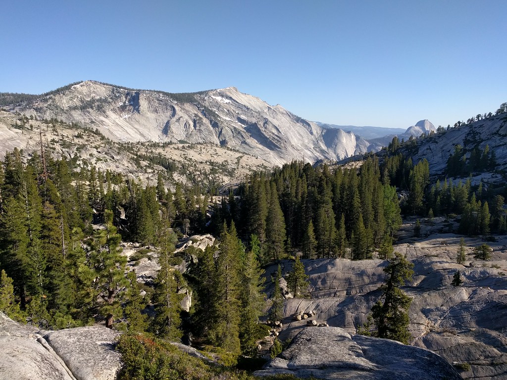 Olmsted Canyon BouldersRock climbingPhoto: dbaron, CC BY-SA 2.0 (via Flickr)2.7 mi
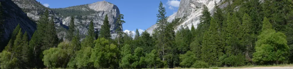 North Pines CampgroundCampingPhoto: Recreation.gov (RIDB) / public domain3.9 mi
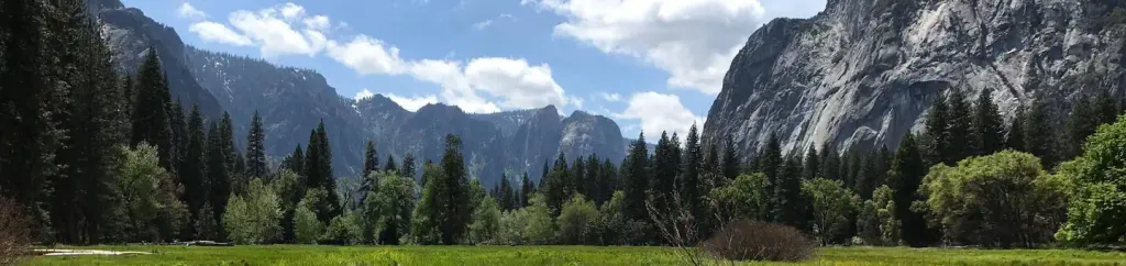 Lower Pines CampgroundCampingPhoto: Recreation.gov (RIDB) / public domain3.9 mi
 Merced RiverCanoeingPhoto: Kylir Horton from Eagle Mountain, Utah, United States, CC BY 2.0 (via Wikimedia Commons)5.1 mi
- Illilouette CreekCanoeing7.4 mi
Source: Roamze catalog (indexable pages within 10 miles, PostGIS distance)
Is Mount Watkins open right now?
No closures listed
The National Park Service lists no closures for Yosemite National Park.
As of · Source: NPS · Yosemite National Park. Agencies don't list every closure — check before you go.
Best time to visit Mount Watkins
Best months: June–September. Best months have typical highs of 55–85 °F, lows of 30 °F or warmer (32 °F where the station doesn't record snow), at most one snowy day and no more than 12 wet days.
Jan
41° / 13°
Feb
38° / 12°
Mar
42° / 15°
Apr
45° / 22°
May
54° / 27°
Jun
65° / 33°
Jul
71° / 38°
Aug
70° / 36°
Sep
65° / 32°
Oct
57° / 26°
Nov
47° / 20°
Dec
40° / 12°
Typical high / low (°F) and days with rain or snow, 1991–2020. Measured at Tuolumne Meadows Rs, CA, 11.5 mi away at 8,694 ft. This station doesn't record snowfall. Source: NOAA NCEI U.S. Climate Normals 1991–2020.
