La Corona
- 464 ft
- summit
- 1
- way up
- Jan–Dec
- best months
La Corona is a summit of 464 feet in DeLaveaga Park & Golf Course in California, about 1.6 miles from the community of Pasatiempo. It sits within the park's grounds, close to the golf course and the town, and is a short walk from several trails that start within a few tenths of a mile. Late summer into early fall is the warmest and driest stretch. Typical averages from a nearby weather station in Santa Cruz show September highs around 77°F with only about one wet day, while winter brings highs in the low 60s and roughly 10 to 11 wet days a month. That station sits about 394 feet lower than the summit, so temperatures on top run a little cooler. The Branciforte Creek Trail and the La Corona Trail both begin within a quarter mile, and the Redwood Lower Loop is about 0.7 miles away. Climbers can find the Order of the Moose Wall about 2 miles off.
Conditions and forecast
Daily highs and lows, wind and the chance of precipitation at the summit and route start for the next 7 days, from the Open-Meteo model.
- Summit elevation
- 464 ft
Elevation from USGS 3D Elevation Program terrain data (about 10 m resolution).
Map © Mapbox © OpenStreetMap contributors Questions about La Corona
How tall is La Corona?
464 ft (141 m).
How many routes go to the summit of La Corona?
One: La Corona Trail.
- Bear Creek Summit2,423 ft · California1 route11 mi away
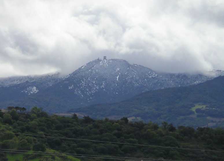 Mount Umunhum3,480 ft · California1 route12 mi awayPhoto: CC BY-SA 3.0 (via Wikimedia Commons)
- Bald Mountain2,387 ft · California1 route13 mi away
- El Sombroso3,011 ft · California1 route13 mi away
- Saint Josephs Hill1,250 ft · California1 route14 mi away
- Mine Hill1,737 ft · California1 route14 mi away
 Branciforte Creek TrailHikingPhoto: Melissa Clark, CC BY 2.0 (via Wikimedia Commons)0.1 mi
- La Corona TrailHikingPhoto: Melissa Clark, CC BY 2.0 (via Wikimedia Commons)0.2 mi
- Redwood Lower LoopHiking0.7 mi
- Order of the Moose WallRock climbing2 mi
- The Forbidden ForestRock climbing3.4 mi
- UC Santa CruzRock climbing3.5 mi
- Soquel CreekCanoeing5.5 mi
- Zayante CreekCanoeing6.7 mi
Source: Roamze catalog (indexable pages within 10 miles, PostGIS distance)
 Loma PrietaSummit · ~19 min drivePhoto: DrHonzik, CC0 (via Wikimedia Commons)
 Mount ThayerSummit · ~20 min drivePhoto: Thomson200, CC BY-SA 4.0 (via Wikimedia Commons)
- Mount UmunhumSummit · ~20 min drivePhoto: CC BY-SA 3.0 (via Wikimedia Commons)
 Mount MadonnaSummit · ~28 min drivePhoto: Wahn, CC BY-SA 4.0 (via Wikimedia Commons)
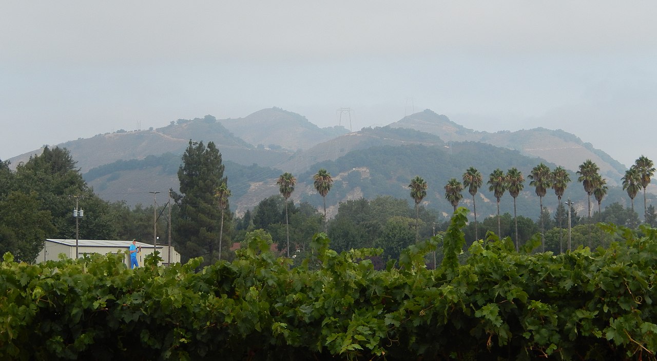 Twin PeaksSummit · ~30 min drivePhoto: Wahn, CC BY-SA 4.0 (via Wikimedia Commons)
 El ToroSummit · ~34 min drivePhoto: Eugene Zelenko, CC BY-SA 4.0 (via Wikimedia Commons)
 Tulare HillSummit · ~34 min drivePhoto: Wahn, CC BY-SA 3.0 (via Wikimedia Commons)
 Lions PeakSummit · ~35 min drivePhoto: Wahn, CC BY-SA 4.0 (via Wikimedia Commons)
 Black MountainSummit · ~39 min drivePhoto: Trovatore at English Wikipedia, Public domain (via Wikimedia Commons)
 Borel HillSummit · ~42 min drivePhoto: Seberin, CC BY-SA 4.0 (via Wikimedia Commons)
Best time to visit La Corona
Best months: Year-round. Best months have typical highs of 55–85 °F, lows of 30 °F or warmer (32 °F where the station doesn't record snow), at most one snowy day and no more than 12 wet days.
Jan
63° / 41°
11 wet
Feb
64° / 43°
10 wet
Mar
67° / 44°
10 wet
Apr
69° / 46°
6 wet
May
71° / 49°
3 wet
Jun
74° / 52°
1 wet
Jul
74° / 54°
1 wet
Aug
76° / 55°
1 wet
Sep
77° / 53°
1 wet
Oct
74° / 50°
4 wet
Nov
67° / 44°
7 wet
Dec
61° / 41°
10 wet
Typical high / low (°F) and days with rain or snow, 1991–2020. Measured at Santa Cruz, CA, 1.3 mi away at 70 ft. Source: NOAA NCEI U.S. Climate Normals 1991–2020.
