Hat Mountain
 Photo: Silencetheshadows, CC BY-SA 4.0 (via Wikimedia Commons)
- 8,742 ft
- summit
- Forest Service
- managed by
Is Hat Mountain open right now?
Alert in the area
The Forest Service lists an alert for Modoc National Forest.
Forest Fire Restrictions 2026 have been lifted as of 09/27/2026
Agency alert covering Modoc National Forest · USFS · Modoc National Forest
As of · Source: USFS · Modoc National Forest. Agencies don't list every closure — check before you go.
Hat Mountain is a summit of about 8,742 feet in Lassen County, California, within the Warner Mountain Ranger District of Modoc National Forest. The Forest Service manages the land, and the nearest town is Eagleville, about 12 miles away. Patterson campground sits about 4.6 miles away, and the Connector Trail is about 4.8 miles off. East Creek Equestrian Campground and the East Creek Trail are each about 5 miles away.
Conditions and forecast
Daily highs and lows, wind and the chance of precipitation at the summit for the next 7 days, from the Open-Meteo model.
- Summit elevation
- 8,742 ft
- Land manager
- Forest Service
Elevation from USGS 3D Elevation Program terrain data (about 10 m resolution).
We don't know of a mapped trail or route to the summit of Hat Mountain. Plan the approach with local maps, a guidebook or a local guide, and check conditions before you go.
Questions about Hat Mountain
How tall is Hat Mountain?
8,742 ft (2,665 m).
Is there a trail to the top of Hat Mountain?
We don't know of a mapped trail or route to the summit. Plan the approach with local maps, a guidebook or a local guide.
- Manzanita Mountain7,036 ft · California1 route36 mi away
- Steamboat Mountain4,269 ft · Nevada1 route52 mi away
 Crane Mountain8,453 ft · Oregon1 route63 mi awayPhoto: Orygun, CC BY-SA 4.0 (via Wikimedia Commons)
 Cinder Cone6,909 ft · California3 routes75 mi awayPhoto: DimiTalen, CC BY-SA 3.0 (via Wikimedia Commons)
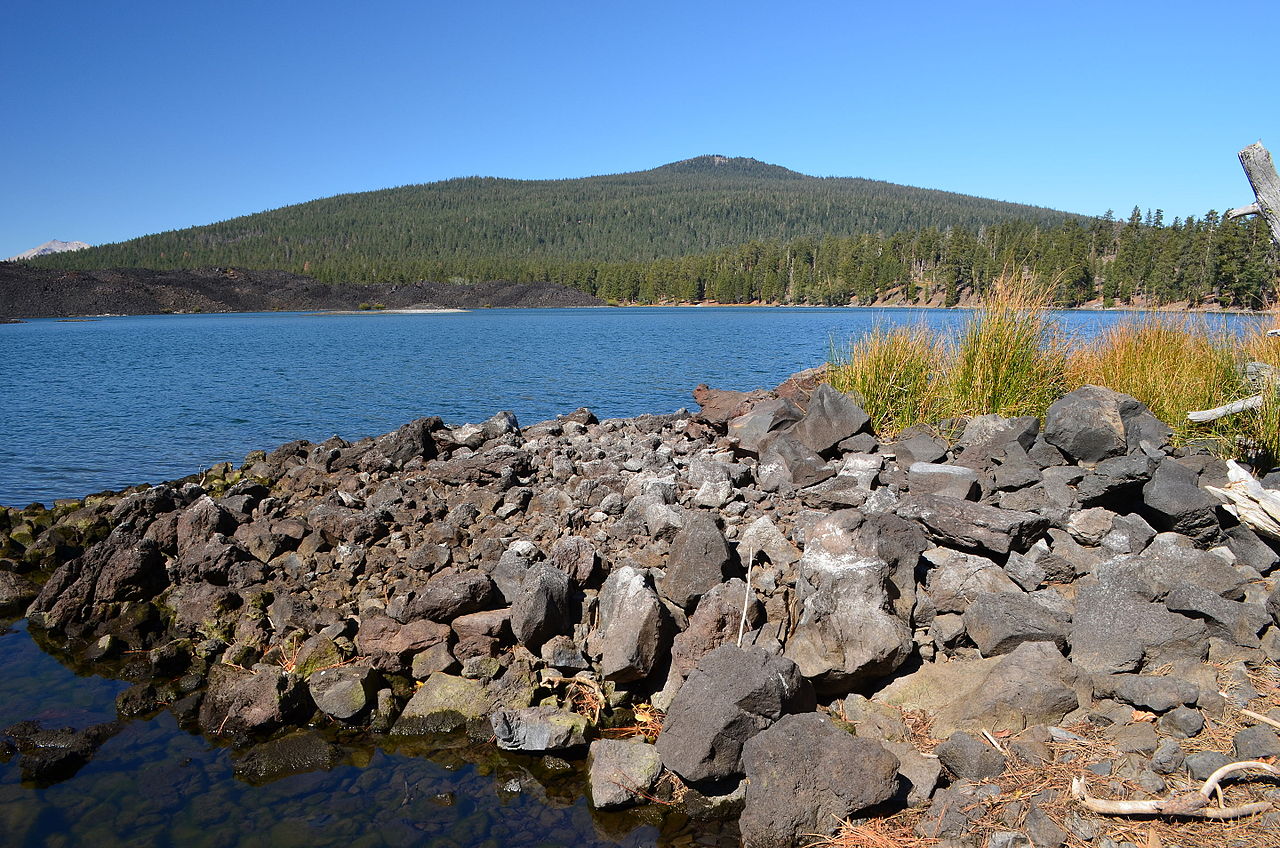 Prospect Peak8,341 ft · California1 route75 mi awayPhoto: LassenNPS, Public domain (via Wikimedia Commons)
- Fort Mountain4,864 ft · California1 route77 mi away
- PattersonCamping4.6 mi
- CONNECTOR TRAILHiking4.8 mi
- East Creek Equestrian CampgroundCamping5 mi
- East Creek TrailHiking5 mi
- Bearcamp TrailHiking6.1 mi
- South Emerson TrailHiking7.3 mi
- Blue LakeCamping7.9 mi
- Emerson CampgroundCamping8 mi
Source: Roamze catalog (indexable pages within 10 miles, PostGIS distance)


