Alan Peak
- 1,650 ft
- summit
- 1
- way up
- Jan–Dec
- best months
Alan Peak is a summit of 1,650 feet in California's San Luis Obispo Unit, about 3.8 miles from the town of Los Osos. Late spring and early fall are the most comfortable times to go. Typical averages from a nearby weather station in San Luis Obispo show May highs around 72°F and October highs near 78°F, with almost no wet days in July and August. That station sits well below the peak, so temperatures up top run cooler. The Alan Peak Trail lies about 2 miles away, and the East Boundary Trail and Davis Peak Truck Trail are each a little over 2 miles off. For an overnight stay, Morro Bay State Park Campground is about 8 miles away.
Conditions and forecast
Daily highs and lows, wind and the chance of precipitation at the summit and route start for the next 7 days, from the Open-Meteo model.
- Summit elevation
- 1,650 ft
Elevation from USGS 3D Elevation Program terrain data (about 10 m resolution).
Map © Mapbox © OpenStreetMap contributors Questions about Alan Peak
How tall is Alan Peak?
1,650 ft (503 m).
How many routes go to the summit of Alan Peak?
One: Alan Peak Trail.
- Oats Peak1,373 ft · California3 routes2.0 mi away
- Hazard Peak1,105 ft · California1 route3.2 mi away
 Black Hill662 ft · California1 route7.4 mi awayPhoto: Basar, CC BY-SA 3.0 (via Wikimedia Commons)
 Bishop Peak1,529 ft · California1 route7.6 mi awayPhoto: Leif Arne Storset, CC BY 2.5 (via Wikimedia Commons)
 Islay Hill780 ft · California1 route11 mi awayPhoto: Michael Pearson, Public domain (via Wikimedia Commons)
- Mount Lowe2,599 ft · California2 routes13 mi away
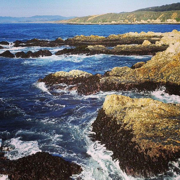 Alan Peak TrailHikingPhoto: supa_pedro, CC BY 2.0 (via Flickr)2 mi
 East Boundary TrailHikingPhoto: docentjoyce, CC BY 2.0 (via Flickr)2.2 mi
- Davis Peak Truck TrailHiking2.3 mi
 Barranca TrailHikingPhoto: bilbord99, CC BY 2.0 (via Flickr)2.4 mi
- San Luis ObispoRock climbing6.2 mi
- Park Ridge RockRock climbing6.3 mi
- El DoradoRock climbing6.5 mi
 Morro Bay State Park CampgroundCampingPhoto: Tony Webster — CC BY-SA 2.0 (via Flickr)8.1 mi
Source: Roamze catalog (indexable pages within 10 miles, PostGIS distance)
 Hollister PeakSummit · ~11 min drivePhoto: Basar at English Wikipedia, CC BY-SA 3.0 (via Wikimedia Commons)
- Cerro RomualdoSummit · ~11 min drivePhoto: Basar at English Wikipedia, CC BY-SA 3.0 (via Wikimedia Commons)
 Cerro CabrilloSummit · ~12 min drivePhoto: No machine-readable author provided. Kjkolb assumed (based on copyright claims)., CC BY 2.5 (via Wikimedia Commons)
 Chumash PeakSummit · ~13 min drivePhoto: Basar, CC BY-SA 3.0 (via Wikimedia Commons)
- Black HillSummit · ~13 min drivePhoto: Basar, CC BY-SA 3.0 (via Wikimedia Commons)
- Bishop PeakSummit · ~13 min drivePhoto: Leif Arne Storset, CC BY 2.5 (via Wikimedia Commons)
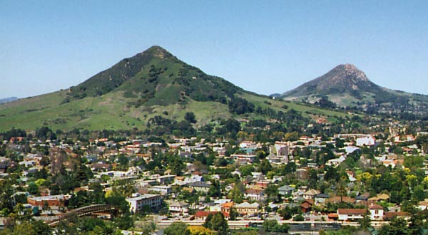 Cerro San Luis ObispoSummit · ~14 min drivePhoto: Ken Broomfield, CC BY-SA 3.0 (via Wikimedia Commons)
 Morro RockSummit · ~15 min drivePhoto: No machine-readable author provided. Kjkolb assumed (based on copyright claims)., CC BY 2.5 (via Wikimedia Commons)
- Islay HillSummit · ~19 min drivePhoto: Michael Pearson, Public domain (via Wikimedia Commons)
- Oats PeakSummit · ~3 min drive
Best time to visit Alan Peak
Best months: Year-round. Best months have typical highs of 55–85 °F, lows of 30 °F or warmer (32 °F where the station doesn't record snow), at most one snowy day and no more than 12 wet days.
Jan
65° / 44°
9 wet
Feb
65° / 44°
9 wet
Mar
67° / 46°
8 wet
Apr
69° / 47°
4 wet
May
72° / 49°
2 wet
Jun
76° / 52°
1 wet
Jul
78° / 54°
0 wet
Aug
80° / 55°
0 wet
Sep
80° / 54°
1 wet
Oct
78° / 52°
3 wet
Nov
71° / 47°
5 wet
Dec
64° / 44°
8 wet
Typical high / low (°F) and days with rain or snow, 1991–2020. Measured at San Luis Obispo Poly, CA, 9.5 mi away at 308 ft. The station sits about 1,300 ft lower than this place, so expect it a little cooler here. Source: NOAA NCEI U.S. Climate Normals 1991–2020.

