Shadow Cliffs Regional Recreation Area
About
Shadow Cliffs Regional Recreation Area is a park managed by the East Bay Regional Park District, about 2.3 miles from Pleasanton, California. Spring and fall are the most comfortable times to visit. Typical averages from a nearby weather station in Livermore show April highs around 71°F and October highs around 77°F, while July and August average highs near 89°F. The closest trail is South Arroyo Trail, just 0.3 miles away, and Arroyo Mocho Trail lies about 2 miles off. Callippe Preserve Trail is roughly 2.9 miles away, and paddlers can head to Arroyo de la Laguna, about 4.1 miles away.
Park size
254 acres
Inside this park
Trails
Water
Location
Shadow Cliffs Regional Recreation Area
California
Data source: padus local parks
Facts about this place
When to go
Best time to go: Feb–Jun. The mildest months here, with typical highs of 61–84°F and lows of 41–54°F.
Typical monthly averages (not a forecast) from the Livermore, CA weather station, 2.1 mi away. High / low in °F, and days with snow.
- Jan57° high39° low
- Feb61° high41° low
- Mar66° high43° low
- Apr71° high46° low
- May77° high50° low
- Jun84° high54° low
- Jul89° high57° low
- Aug89° high57° low
- Sep86° high55° low
- Oct77° high50° low
- Nov65° high43° low
- Dec57° high39° low
Where it is
- Shadow Cliffs Regional Recreation Area · Public land
- Nearest town
- Pleasanton, California · 2.3 mi
Source: NIFC Jurisdictional Units; USGS GNIS populated places
Nearby
- South Arroyo TrailHiking0.3 mi
- Arroyo Mocho TrailHiking2 mi
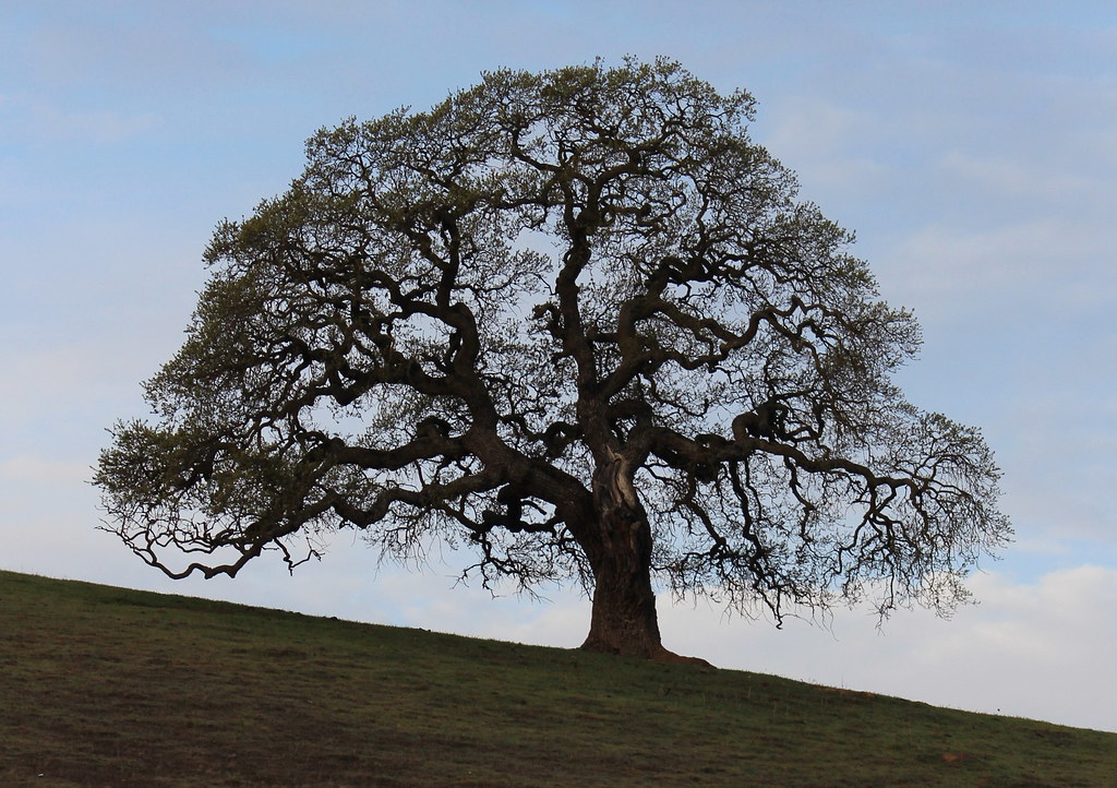 Callippe Preserve TrailHikingPhoto: DreamSailors, CC BY 2.0 (via Flickr)2.9 mi
 Arroyo de la LagunaCanoeingPhoto: Alameda County Resource Conservation District, CC BY-SA 4.0 (via Wikimedia Commons)4.1 mi
 Alameda CreekCanoeingPhoto: Pi.1415926535, CC BY-SA 4.0 (via Wikimedia Commons)9.8 mi
 Indian Joe CavesRock climbingPhoto: npdoty, CC BY 2.0 (via Flickr)10 mi
- Cleavage RockRock climbing10 mi
- Indian Joe Caves boulderingRock climbingPhoto: npdoty, CC BY 2.0 (via Flickr)10 mi
Source: Roamze catalog (indexable pages within 10 miles, PostGIS distance)
Best time to visit Shadow Cliffs Regional Recreation Area
Best months: October–June. Best months have typical highs of 55–85 °F, lows of 30 °F or warmer (32 °F where the station doesn't record snow), at most one snowy day and no more than 12 wet days.
Jan
57° / 39°
Feb
61° / 41°
Mar
66° / 43°
Apr
71° / 46°
May
77° / 50°
Jun
84° / 54°
Jul
89° / 57°
Aug
89° / 57°
Sep
86° / 55°
Oct
77° / 50°
Nov
65° / 43°
Dec
57° / 39°
Typical high / low (°F) and days with rain or snow, 1991–2020. Measured at Livermore, CA, 2.1 mi away at 393 ft. We don't have this place's elevation, so higher spots nearby can run cooler. Source: NOAA NCEI U.S. Climate Normals 1991–2020.
