Santa Monica Mountains National Recreation Area
About
This 3-acre park in California carries the Santa Monica Mountains National Recreation Area name and sits within that national recreation area, about 3 miles from the town of Topanga. The land is managed by the state park and recreation agency. Spring is the most comfortable time to visit. Typical averages from the nearby Woodland Hills Pierce College weather station show March through May highs in the mid-70s to low 80s°F, while July and August typically climb into the mid-to-upper 90s with essentially no rain. Trails start close by: Viewridge Trail is about a mile away and Serrania Ridge Trail is just beyond it. Climbers can head roughly 3.4 miles to Calabasas Slabs, and paddlers will find Malibu Creek about 8 miles away.
Park size
3 acres
Location
Santa Monica Mountains National Recreation Area
California
Data source: USGS PAD-US 4.1 (Protected Areas Database, public domain)
Facts about this place
When to go
Best time to go: Oct–May. The mildest months here, with typical highs of 69–85°F and lows of 42–53°F.
Typical monthly averages (not a forecast) from the Woodland Hills Pierce College, CA weather station, 3.4 mi away. High / low in °F, and days with snow.
- Jan70° high43° low
- Feb70° high44° low
- Mar74° high46° low
- Apr78° high48° low
- May82° high53° low
- Jun89° high57° low
- Jul95° high61° low
- Aug97° high61° low
- Sep94° high59° low
- Oct85° high53° low
- Nov76° high46° low
- Dec69° high42° low
Where it is
- Santa Monica Mountains National Recreation Area · National Park Service
- Nearest town
- Topanga, California · 2.9 mi
- Managed by
- State Park and Recreation
Source: NPS Land Resources boundaries; USGS PAD-US 4.1; USGS GNIS populated places
Nearby
- Viewridge TrailHiking1 mi
 Serrania Ridge TrailHikingPhoto: Mad Peruvian Media, CC BY 2.0 (via Flickr)1.1 mi
- Santa Maria Canyon TrailHiking1.4 mi
- Natoma Ridge TrailHiking1.5 mi
- Crags Rd. Crag'sRock climbing3.3 mi
- Calabasas SlabsRock climbing3.4 mi
- The HeadwatersRock climbing4.3 mi
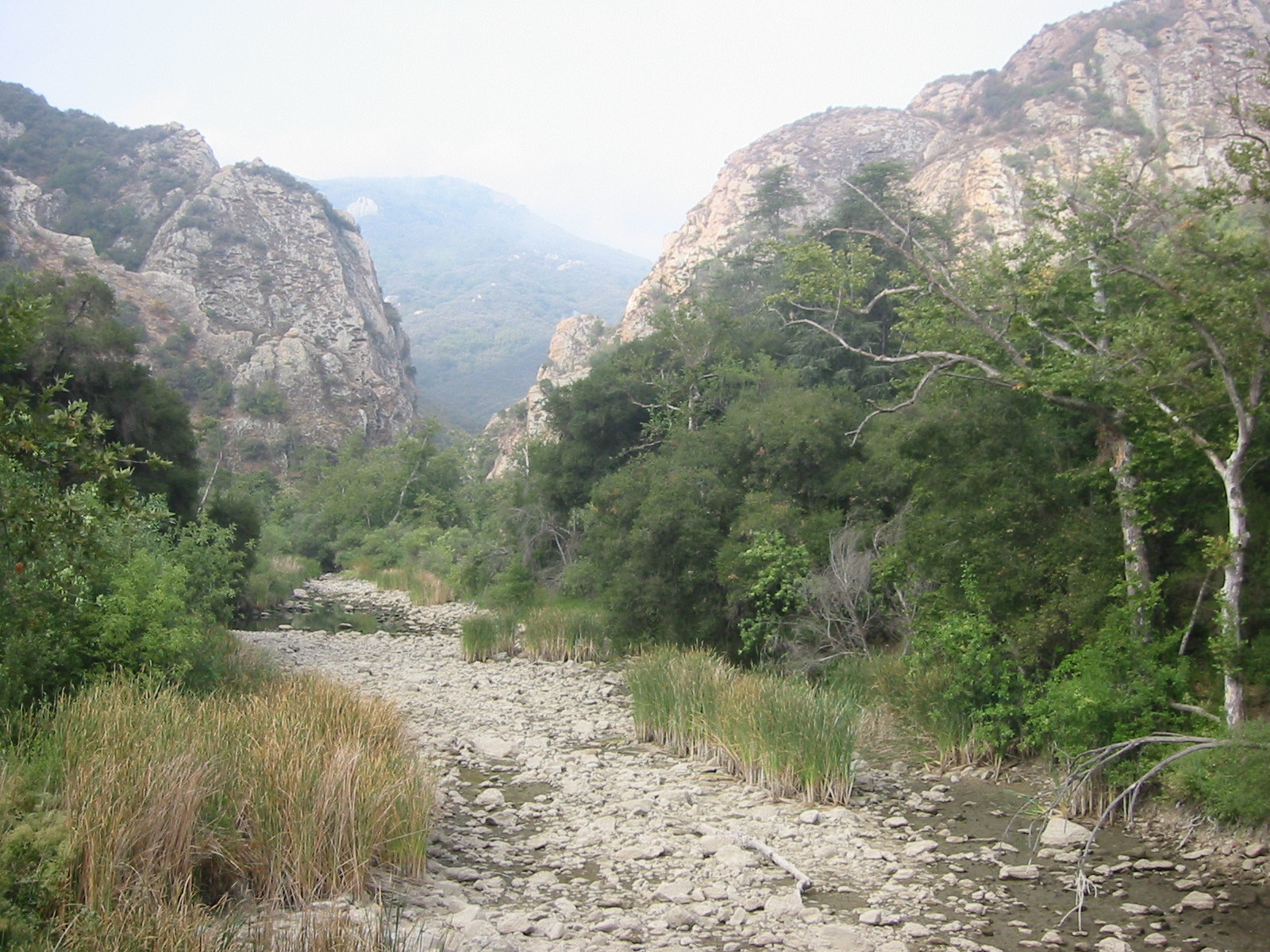 Malibu CreekCanoeingPhoto: Tobin/tobo, Rochester, NY, USA, CC BY-SA 2.0 (via Wikimedia Commons)7.9 mi
Source: Roamze catalog (indexable pages within 10 miles, PostGIS distance)
Is Santa Monica Mountains National Recreation Area open right now?
No closures listed
The National Park Service lists no closures for Santa Monica Mountains National Recreation Area.
As of · Source: NPS · Santa Monica Mountains National Recreation Area. Agencies don't list every closure — check before you go.
Best time to visit Santa Monica Mountains National Recreation Area
Best months: October–May. Best months have typical highs of 55–85 °F, lows of 30 °F or warmer (32 °F where the station doesn't record snow), at most one snowy day and no more than 12 wet days.
Jan
70° / 43°
6 wet
Feb
70° / 44°
7 wet
Mar
74° / 46°
6 wet
Apr
78° / 48°
3 wet
May
82° / 53°
1 wet
Jun
89° / 57°
0 wet
Jul
95° / 61°
0 wet
Aug
97° / 61°
0 wet
Sep
94° / 59°
1 wet
Oct
85° / 53°
2 wet
Nov
76° / 46°
3 wet
Dec
69° / 42°
6 wet
Typical high / low (°F) and days with rain or snow, 1991–2020. Measured at Woodland Hills Pierce College, CA, 3.4 mi away at 790 ft. We don't have this place's elevation, so higher spots nearby can run cooler. Source: NOAA NCEI U.S. Climate Normals 1991–2020.
