
Montaña de Oro State Park
About
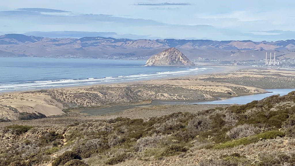
Montaña de Oro State Park is a California state park managed by State Park and Recreation, about 2.4 miles from the town of Los Osos. The weather is mild all year, with typical highs in the mid-60s to low 70s and no snow days on record. Late summer into fall is the warmest and driest stretch: averages from the nearby Morro Bay weather station show highs around 72°F in September and October, with only a day or two of rain each month. Winter brings more wet days, roughly six to eight a month from December through March, with highs near 65°F and lows in the mid-40s. Several trails start close by. The Manzanita Trail and East Cable Trail are within about half a mile, and the North Dune Trail and Rim Trail are about 0.7 mile away. For an overnight stay, Morro Bay State Park Campground is about 5.3 miles away.
Park size
10,251 acres
Inside this park
Location
Montaña de Oro State Park
California
Data source: USGS PAD-US 4.1 (Protected Areas Database, public domain)
Facts about this place
When to go
Best time to go: Year-round. The mildest months here, with typical highs of 65–72°F and lows of 46–57°F.
Typical monthly averages (not a forecast) from the Morro Bay Fire Dept, CA weather station, 5.4 mi away. High / low in °F, and days with snow.
- Jan65° high46° low
- Feb65° high48° low
- Mar66° high49° low
- Apr67° high49° low
- May67° high52° low
- Jun66° high54° low
- Jul67° high56° low
- Aug70° high57° low
- Sep72° high56° low
- Oct72° high54° low
- Nov69° high50° low
- Dec65° high46° low
Where it is
- Montaña de Oro State Park · State park
- Nearest town
- Los Osos, California · 2.4 mi
- Managed by
- State Park and Recreation
Nearby
 Manzanita TrailHikingPhoto: docentjoyce, CC BY 2.0 (via Flickr)0.5 mi
 East Cable TrailHikingPhoto: lamblukas, CC BY 2.0 (via Flickr)0.6 mi
 North Dune TrailHikingPhoto: Ken Lund, CC BY-SA 2.0 (via Flickr)0.7 mi
- Rim TrailHikingPhoto: Ken Lund, CC BY-SA 2.0 (via Flickr)0.7 mi
- Park Ridge RockRock climbing4.4 mi
- El DoradoRock climbing4.5 mi
 Rock LandRock climbingPhoto: Mike Baird from Morro Bay, USA, CC BY 2.0 (via Wikimedia Commons)4.7 mi
 Morro Bay State Park CampgroundCampingPhoto: Tony Webster — CC BY-SA 2.0 (via Flickr)5.3 mi
Source: Roamze catalog (indexable pages within 10 miles, PostGIS distance)
Best time to visit Montaña de Oro State Park
Best months: Year-round. Best months have typical highs of 55–85 °F, lows of 30 °F or warmer (32 °F where the station doesn't record snow), at most one snowy day and no more than 12 wet days.
Jan
65° / 46°
7 wet
Feb
65° / 48°
8 wet
Mar
66° / 49°
7 wet
Apr
67° / 49°
4 wet
May
67° / 52°
2 wet
Jun
66° / 54°
1 wet
Jul
67° / 56°
0 wet
Aug
70° / 57°
0 wet
Sep
72° / 56°
1 wet
Oct
72° / 54°
2 wet
Nov
69° / 50°
4 wet
Dec
65° / 46°
6 wet
Typical high / low (°F) and days with rain or snow, 1991–2020. Measured at Morro Bay Fire Dept, CA, 5.4 mi away at 118 ft. We don't have this place's elevation, so higher spots nearby can run cooler. Source: NOAA NCEI U.S. Climate Normals 1991–2020.
