Hazard Peak Trail
- 3.2 mi
- round trip
- 938 ft
- climb
- Singletrack
- surface
- Out and back
- route
Hazard Peak Trail is a mountain biking route in Montaña de Oro State Park in California, managed by State Park and Recreation. The trail is an out-and-back that covers about 6.3 miles with a total elevation gain of 938 feet, from a low point of 131 feet to a high of 1,086 feet. It is rated easy, and the round trip is roughly 3.16 miles. The most comfortable months for a ride are typically late summer and early fall. Typical averages from a nearby weather station in Morro Bay show September and October highs around 72°F with lows in the mid-50s and almost no wet days. That station sits well below the trail, so temperatures on the route run cooler. Several other trails start close by. Oats Peak Trail is about 0.2 miles away, and Valencia Peak and Reservoir Flats Trail are each about 0.3 miles off. For an overnight stay, Morro Bay State Park Campground is about 6.4 miles away.
 Oats Peak TrailHikingPhoto: Ken Lund, CC BY-SA 2.0 (via Flickr)0.2 mi
- Valencia PeakHiking0.3 mi
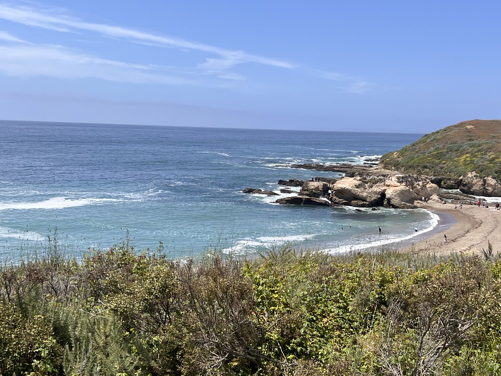 Reservoir Flats TrailHikingPhoto: Ken Lund, CC BY-SA 2.0 (via Flickr)0.3 mi
- Rattlesnake Flats TrailHiking0.4 mi
- El DoradoRock climbing5.8 mi
- Park Ridge RockRock climbing5.9 mi
 Rock LandRock climbingPhoto: Mike Baird from Morro Bay, USA, CC BY 2.0 (via Wikimedia Commons)6.1 mi
 Morro Bay State Park CampgroundCampingPhoto: Tony Webster — CC BY-SA 2.0 (via Flickr)6.4 mi
Source: Roamze catalog (indexable pages within 10 miles, PostGIS distance)
Map and trail data © OpenStreetMap contributors
