
Limekiln State Park
About
Limekiln State Park is a California state park managed by State Park and Recreation, set within the Monterey Ranger District of Los Padres National Forest. The nearest town is Fort Hunter Liggett, about 16 miles away. Late summer into early fall is the most comfortable time to visit. Typical averages from the Big Sur weather station, about 21 miles away, show highs near 77°F in August and September with almost no wet days, while winter brings highs around 61°F and about 10 to 11 wet days a month. The closest trails are the Alvin Trail, which is closed, and the Stone Ridge Trail and Stone Ridge Spine Path, both about 0.8 miles away. For an overnight stay, Memorial Park campground sits about 7.7 miles off.
Park size
743 acres
Inside this park
Campgrounds
Location
Limekiln State Park
California
Data source: USGS PAD-US 4.1 (Protected Areas Database, public domain)
Facts about this place
When to go
Best time to go: Jan–Nov. The mildest months here, with typical highs of 61–77°F and lows of 42–51°F.
Typical monthly averages (not a forecast) from the Big Sur Stn, CA weather station, 22 mi away. High / low in °F, and days with snow.
- Jan61° high42° low
- Feb61° high43° low
- Mar64° high43° low
- Apr67° high44° low
- May70° high45° low
- Jun74° high48° low
- Jul75° high51° low
- Aug77° high50° low
- Sep77° high50° low
- Oct74° high48° low
- Nov65° high45° low
- Dec59° high42° low
Where it is
- Monterey Ranger District · Ranger district
- Limekiln State Park · State park
- Los Padres National Forest · National forest
- Nearest town
- Fort Hunter Liggett, California · 16 mi
- Managed by
- State Park and Recreation
Source: USFS EDW boundaries; USGS PAD-US 4.1; USGS GNIS populated places
Conditions
Active alerts for Monterey Ranger District as of Oct 9, 2026:
Monterey Ranger District Emergency Closure Order with Exceptions
critical · posted Oct 5, 2026
San Carpoforo Beach Prohibition of Overnight Camping and Campfires
fire-restriction · posted Aug 24, 2026
Source: USFS forest alerts
Nearby
- Alvin Trail (Closed)Hiking0.4 mi
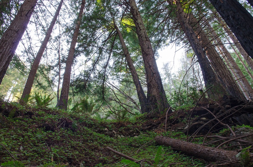 Stone Ridge TrailHikingPhoto: vikjam, CC BY 2.0 (via Flickr)0.8 mi
- Stone Ridge Spine PathHikingPhoto: vikjam, CC BY 2.0 (via Flickr)0.8 mi
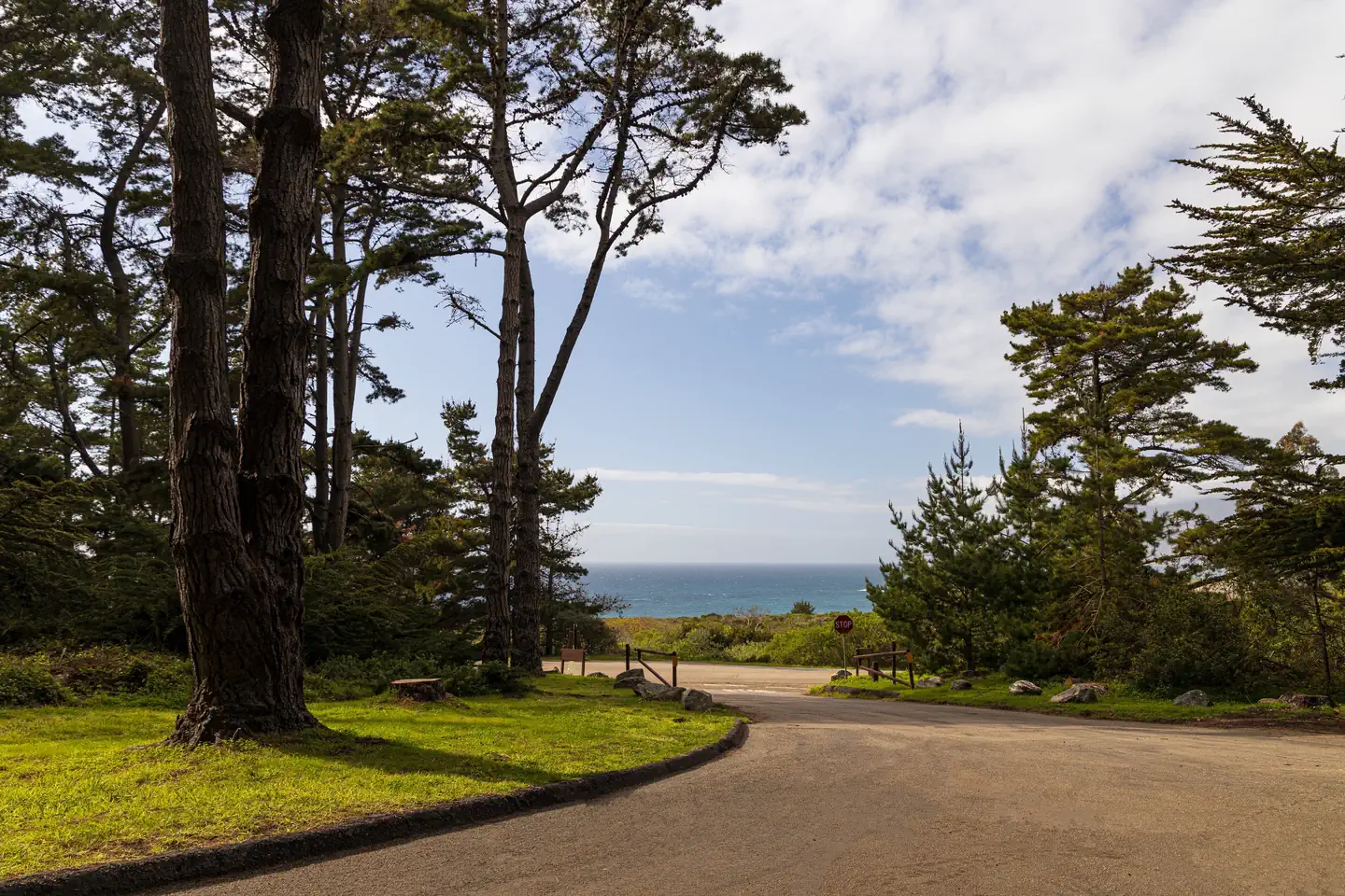 Plaskett Creek CampgroundSurf fishing7.6 mi
- Memorial ParkCamping7.7 mi
- PonderosaCamping8 mi
 The BeachRock climbingPhoto: Thomson M, CC BY 3.0 (via Wikimedia Commons)8.1 mi
 Wagon CavesRock climbingPhoto: Bob n Renee, CC BY 2.0 (via Flickr)8.1 mi
Source: Roamze catalog (indexable pages within 10 miles, PostGIS distance)
Is Limekiln State Park open right now?
Closure in the area
There's a closure order in Monterey Ranger District. It doesn't name Limekiln State Park, so check the source for the area it covers.
Monterey Ranger District Emergency Closure Order with Exceptions
Agency closure covering Monterey Ranger District · Order 05-07-51-26-11 · USFS · Monterey Ranger District
Los Padres Fire Use and Firearm Restrictions
Agency alert covering Los Padres National Forest · Order 05-07-00-26-05 · USFS · Los Padres National Forest
San Carpoforo Beach Prohibition of Overnight Camping and Campfires
Agency alert covering Monterey Ranger District · Order 05-07-51-26-03 · USFS · Monterey Ranger District
Santa Barbara Front Country Fire Use Restrictions
Agency alert covering Los Padres National Forest · Order 05-07-5406-01 · USFS · Los Padres National Forest
As of · Source: USFS · Monterey Ranger District. Agencies don't list every closure — check before you go.
