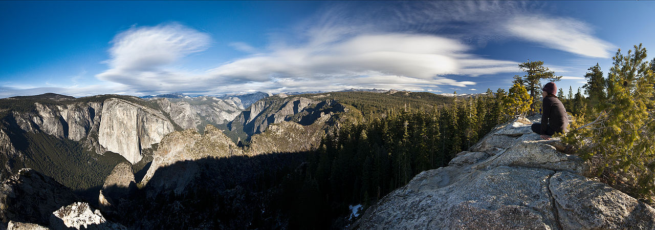
Bridalveil Creek Campground
Campground
Campground · 0.4 mi from the trail
Closure reported
The National Park Service lists a closure that covers Glacier Point Road.
Tioga Road and Glacier Point Road are temporarily closed
Park closure covering Yosemite National Park · NPS · Yosemite National Park
As of · Source: NPS · Yosemite National Park. Agencies don't list every closure — check before you go.
Glacier Point Road is a short, easy cross-country ski route in Yosemite National Park, California, managed by the National Park Service. The out-and-back trip covers about 1.8 miles, with a total elevation gain of 198 feet, and the climb is front-loaded, peaking at 7,061 feet before the descent back to the starting point at about 6,977 feet. The route is a natural pairing with other stops in the park. Bridalveil Creek Campground sits just 0.4 miles away, and the McGurk Meadow Trailhead is 0.7 miles off. Ostrander Lake Trail is about 1.4 miles away, and the Cathedral Area climbing area is roughly 3.3 miles from the road.
Bridalveil Creek Campground
Campground
Roosevelt Point
Viewpoint
Scenic viewpoint in Yosemite National Park
Places © OpenStreetMap contributors, Places © Overture Maps Foundation
More in Yosemite Valley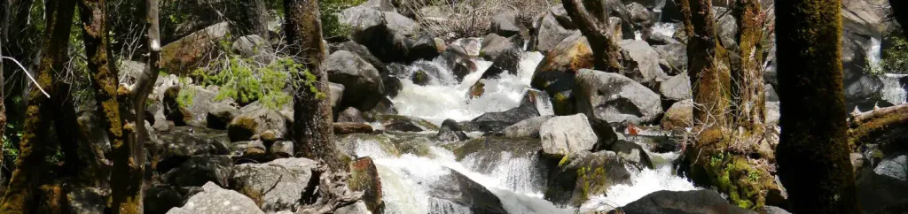 Bridalveil Creek CampgroundCampingPhoto: Recreation.gov (RIDB) / public domain0.4 mi
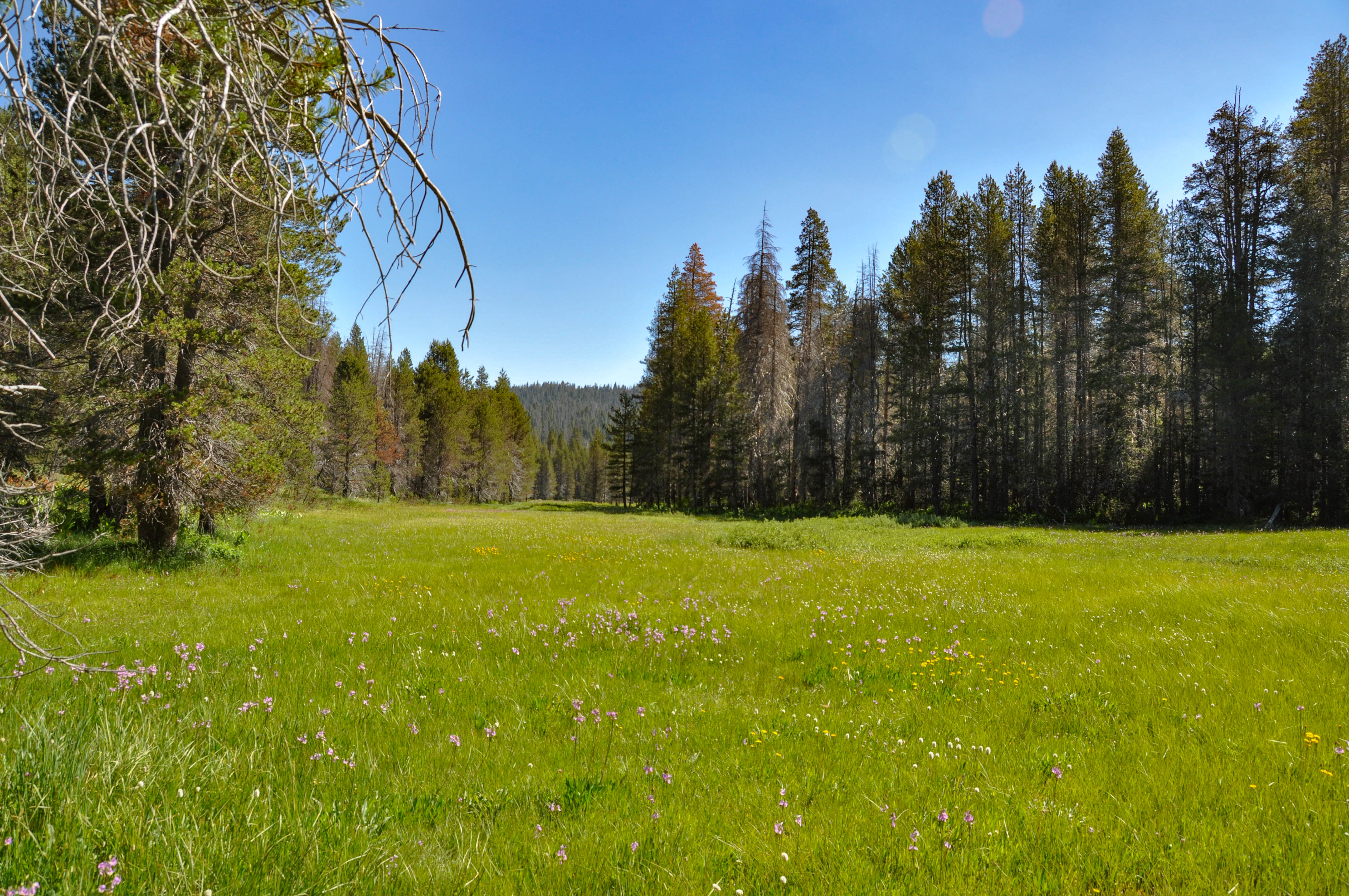 McGurk Meadow TrailheadHiking0.7 mi
 Ostrander Lake TrailHikingPhoto: Allie_Caulfield, CC BY 2.0 (via Flickr)1.4 mi
 Higher Cathedral SpireRock climbingPhoto: Capt' Gorgeous, CC BY 2.0 (via Flickr)3.4 mi
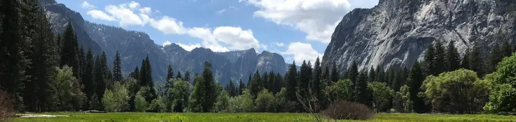 Lower Pines CampgroundCampingPhoto: Recreation.gov (RIDB) / public domain5.8 mi
 Merced RiverCanoeingPhoto: Kylir Horton from Eagle Mountain, Utah, United States, CC BY 2.0 (via Wikimedia Commons)6.6 mi
Source: Roamze catalog (indexable pages within 10 miles, PostGIS distance)
 Badger Pass Ski AreaDownhill skiing · ~4 min drivePhoto: peterparr, Public domain (via Wikimedia Commons)
 June MountainDownhill skiing · ~52 min drivePhoto: Eric T Gunther, CC BY-SA 3.0 (via Wikimedia Commons)
 Mammoth MountainDownhill skiing · ~56 min drivePhoto: Karissa Kunihira, CC BY 3.0 (via Wikimedia Commons)
Also worth it near here
Best months: May–October. Best months have typical highs of 55–85 °F, lows of 30 °F or warmer (32 °F where the station doesn't record snow), at most one snowy day and no more than 12 wet days.
Jan
44° / 32°
10 wet
Feb
42° / 31°
9 wet
Mar
45° / 32°
10 wet
Apr
49° / 36°
8 wet
May
58° / 43°
7 wet
Jun
67° / 52°
3 wet
Jul
75° / 60°
1 wet
Aug
75° / 59°
1 wet
Sep
70° / 54°
2 wet
Oct
60° / 46°
4 wet
Nov
49° / 37°
7 wet
Dec
43° / 32°
9 wet
Typical high / low (°F) and days with rain or snow, 1991–2020. Measured at Yosemite Village 12 W, CA, 12.9 mi away at 6,620 ft. This station doesn't record snowfall. Source: NOAA NCEI U.S. Climate Normals 1991–2020.
Tioga Road and Glacier Point Road are temporarily closed due to snow
Yosemite National Park · seen Oct 30, 2026 → lifted Nov 4, 2026 · National Park Service
Tioga Road and Glacier Point Road are temporarily closed
Yosemite National Park · seen Oct 20, 2026, no lift recorded · National Park Service
Glacier Point Road is closed due to the Dome Fire until 10/10 at 7 am
Yosemite National Park · seen Sep 20, 2026 → lifted Oct 10, 2026 · National Park Service
Map and trail data © OpenStreetMap contributors