Wawona
Near Yosemite National Park
- 13 routes
- V0+ – V6
- Bouldering · Mixed · Trad
Is Wawona open right now?
No closures listed
The National Park Service lists no closures for Yosemite National Park.
As of · Source: NPS · Yosemite National Park. Agencies don't list every closure — check before you go.
Best time to visit Wawona
Best months: May–October. Best months have typical highs of 55–85 °F, lows of 30 °F or warmer (32 °F where the station doesn't record snow), at most one snowy day and no more than 12 wet days.
Jan
45° / 27°
9 wet
Feb
46° / 27°
9 wet
Mar
50° / 28°
10 wet
Apr
55° / 31°
7 wet
May
63° / 37°
5 wet
Jun
73° / 44°
2 wet
Jul
80° / 51°
1 wet
Aug
80° / 49°
1 wet
Sep
75° / 45°
2 wet
Oct
64° / 37°
4 wet
Nov
53° / 30°
6 wet
Dec
44° / 26°
9 wet
Typical high / low (°F) and days with rain or snow, 1991–2020. Measured at So Entrance Yosemite Np, CA, 2.4 mi away at 5,047 ft. The station sits about 700 ft higher than this place, so expect it a little warmer here. This station doesn't record snowfall. Source: NOAA NCEI U.S. Climate Normals 1991–2020.
Wawona is a climbing area in Yosemite National Park, within the Yosemite Wilderness, on land managed by the National Park Service. It sits in the southern part of the park, about 2.4 miles from the So Entrance Yosemite NP weather station, which makes it a convenient reference for planning a visit. Summer is the most comfortable time to go. Typical averages from that nearby station show July and August highs around 80°F with lows near 50°F and only about one wet day a month. Winter is much colder, with January highs around 45°F and lows near 27°F. A fee is charged for entry to the park. The Wawona Swinging Bridge Trail and the Chilnualna Falls Trailhead are both within a third of a mile, and the Oldsquaw Boulder climbing area is just 0.2 miles away. For an overnight stay, Wawona Campground is about 2.6 miles off.
Routes (13)
Brad's Buttress(2)
Don Quixote Boulder(1)
Jumping Rock Boulders(4)
Mortar Rock(1)
Scorched Boulder(1)
Sphinx, The(1)
Totem Pole, The(1)
Wawona Dome(2)
Facts about this crag
Keep exploring — more climbs worth the drive
 Photo: Guywelch2000, CC BY-SA 4.0 (via Wikimedia Commons)
j. Hawk Dome
~14 min drive
j. Hawk Dome in California has 3 sport climbing routes spanning 3 difficulty grades.
Photo: Guywelch2000, CC BY-SA 4.0 (via Wikimedia Commons)Fresno Dome
~14 min drive
Fresno Dome in California has 12 climbing routes across 10 grades, offering sport and trad styles.
 Photo: Richard Wood, CC BY-SA 3.0 (via Wikimedia Commons)
The Widow's Tears Area
~19 min drive
The Widow's Tears Area is a California climbing crag with 5 routes spanning 4 difficulty grades.
 Photo: Daniel Gillaspia, CC BY 2.0 (via Flickr)
Leaning Tower Area
~19 min drive
Leaning Tower Area in California has 1 trad climbing route.
Photo: Daniel Gillaspia, CC BY 2.0 (via Flickr)Fifi Buttress
~19 min drive
Fifi Buttress in California has 10 climbing routes with sport and trad options.
 Photo: dconvertini, CC BY-SA 2.0 (via Flickr)
Leaning Tower
~20 min drive
5 trad routes at Leaning Tower in California, 3 difficulty grades.
 Photo: Capt' Gorgeous, CC BY 2.0 (via Flickr)
Higher Cathedral Rock
~20 min drive
Higher Cathedral Rock in California has 17 climbing routes across 12 grades.
 Photo: Capt' Gorgeous, CC BY 2.0 (via Flickr)
Lower Cathedral Spire
~20 min drive
Lower Cathedral Spire in California has 6 trad routes on 3 difficulty grades.
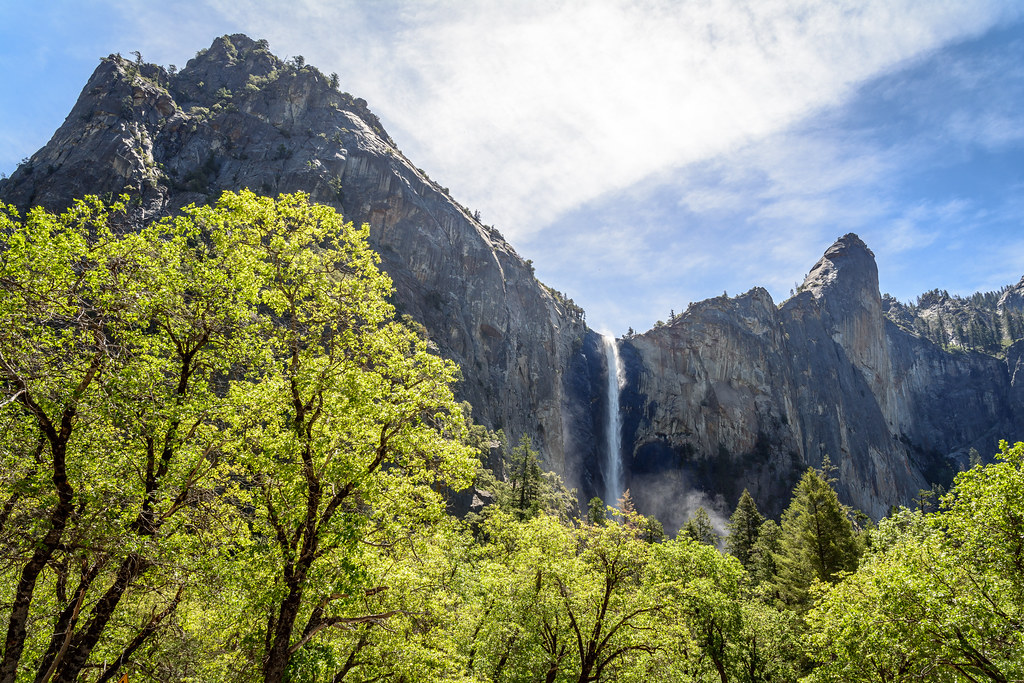 Photo: dconvertini, CC BY-SA 2.0 (via Flickr)
Leaning Tower Base Routes
~20 min drive
5 trad routes at Leaning Tower Base Routes in California.
Photo: dconvertini, CC BY-SA 2.0 (via Flickr)Bridalveil Boulder
~20 min drive
Bridalveil Boulder in California has 5 bouldering routes across 4 grades.
Also worth it near here
 Photo: Bmdavll (talk · contribs), CC BY-SA 3.0 (via Wikimedia Commons)
Wawona Swinging Bridge Trail
~0 min drive
 Photo: nakamuraphotography — CC BY-SA 2.0 (via Flickr)
Camp Wawona
~1 min drive
 Photo: Ben Lane, CC BY-SA 2.5 (via Wikimedia Commons)
Chilnualna Fall
~2 min drive
South Fork Merced River
~3 min drive
