


Alpenglow Expeditions
Rock Climbing business nearby (~23 mi away) — hasn't claimed their Roamze page yet
Combines bolts and placed gear on the same line at Wrights Lake's Main Wall.
Alert in the area
The Forest Service lists 3 alerts for Eldorado National Forest.
Fire Restrictions are in Effect Forest Wide
Agency alert covering Eldorado National Forest · Order 03-26-08 · USFS · Eldorado National Forest
Help Halt Golden Mussel Invasion
Agency alert covering Eldorado National Forest · USFS · Eldorado National Forest
Deer Valley Trail (19E01) & Meadow Lake Road (09N01)
Agency alert covering Eldorado National Forest · Order 03-24-05 · USFS · Eldorado National Forest
As of · Source: USFS · Eldorado National Forest. Agencies don't list every closure — check before you go.
Best months: May–October. Best months have typical highs of 55–85 °F, lows of 30 °F or warmer (32 °F where the station doesn't record snow), at most one snowy day and no more than 12 wet days.
Jan
36° / 23°
9 wet
Feb
37° / 23°
8 wet
Mar
42° / 26°
7 wet
Apr
48° / 29°
5 wet
May
56° / 35°
4 wet
Jun
66° / 42°
2 wet
Jul
75° / 49°
2 wet
Aug
74° / 49°
1 wet
Sep
67° / 44°
2 wet
Oct
55° / 36°
3 wet
Nov
43° / 28°
5 wet
Dec
35° / 23°
7 wet
Typical high / low (°F) and days with rain or snow, 1991–2020. Measured at Dagget Pass, NV, 19.3 mi away at 7,334 ft. This station doesn't record snowfall. Source: NOAA NCEI U.S. Climate Normals 1991–2020.
Fire Restrictions are in Effect Forest Wide
Eldorado National Forest · Order dated September 22, 2026; seen Aug 23, 2026, no lift recorded · Forest Service
One of eight routes catalogued at Wrights Lake's Main Wall, this climb combines bolted and placed gear protection on the same line, sitting near the upper end of the crag's range from 3rd to 5.12a.
 Photo: ilya_ktsn, CC BY 2.0 (via Flickr)
Clyde Lake
~5 min drive
Clyde Lake, California has 7 climbing routes on bouldering pads.
 Photo: ilya_ktsn, CC BY 2.0 (via Flickr)
Desolation Wilderness Bouldering
~7 min drive
5 bouldering routes in California's Desolation Wilderness spread across 4 grades.
 Photo: Ben Chun, CC BY-SA 2.0 (via Flickr)
Upper Spire
~9 min drive
Upper Spire in California has 22 climbing routes across 14 grades, offering sport and trad options.
Photo: Ben Chun, CC BY-SA 2.0 (via Flickr)Phantom Spires
~9 min drive
Phantom Spires in California has 31 climbing routes across 14 difficulty grades.
Photo: Ben Chun, CC BY-SA 2.0 (via Flickr)Middle Spire
~9 min drive
Middle Spire in California has 22 climbing routes across 11 grades, offering mixed, sport, and trad styles.
 Photo: ray_explores, CC BY 2.0 (via Flickr)
Troubled Waters Boulder
~10 min drive
Troubled Waters Boulder in California has 11 bouldering routes across 7 grades.
Photo: ray_explores, CC BY 2.0 (via Flickr)Gemini Boulders
~10 min drive
5 bouldering routes at Gemini Boulders in California.
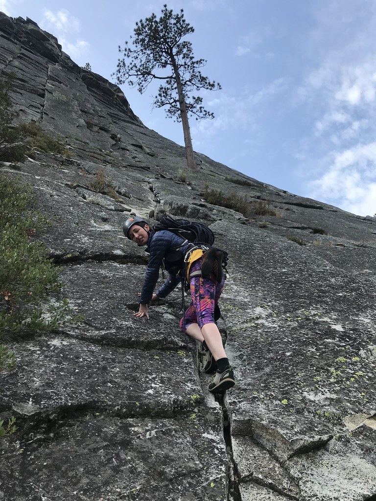 Photo: jfdervin, CC BY-SA 2.0 (via Flickr)
North Face
~10 min drive
North Face in California has 11 traditional climbing routes across 7 grades.
 Photo: jfdervin, CC BY-SA 2.0 (via Flickr)
South Face
~10 min drive
South Face in California has 5 trad routes spanning 4 difficulty grades.
Photo: jfdervin, CC BY-SA 2.0 (via Flickr)Campground Boulders
~11 min drive
6 bouldering routes in California spanning 5 difficulty grades.
Outfitters and businesses near Kyburz. They haven’t set up their Roamze page yet.
Alpenglow Expeditions
Rock Climbing business nearby (~23 mi away) — hasn't claimed their Roamze page yet
