
Joshua Tree Outfitters
Rock Climbing business nearby (~8 mi away) — hasn't claimed their Roamze page yet
Near the top of The Monkey's Paw's five catalogued routes.
Alert in the area
The National Park Service lists 3 alerts for Joshua Tree National Park.
Partial Trail Closure of West Side Loop
Park alert covering Joshua Tree National Park · NPS · Joshua Tree National Park
Inaccurate Third-Party Apps
Park alert covering Joshua Tree National Park · NPS · Joshua Tree National Park
Oasis of Mara Trail Partial Closure
Park alert covering Joshua Tree National Park · NPS · Joshua Tree National Park
As of · Source: NPS · Joshua Tree National Park. Agencies don't list every closure — check before you go.
Best months: October–April. Best months have typical highs of 55–85 °F, lows of 30 °F or warmer (32 °F where the station doesn't record snow), at most one snowy day and no more than 12 wet days.
Jan
60° / 38°
3 wet
Feb
63° / 39°
3 wet
Mar
70° / 43°
2 wet
Apr
77° / 47°
1 wet
May
86° / 54°
0 wet
Jun
95° / 61°
0 wet
Jul
101° / 70°
2 wet
Aug
100° / 70°
2 wet
Sep
93° / 64°
2 wet
Oct
82° / 52°
1 wet
Nov
69° / 43°
2 wet
Dec
60° / 36°
3 wet
Typical high / low (°F) and days with rain or snow, 1991–2020. Measured at Joshua Tree, CA, 6.4 mi away at 2,563 ft. This station doesn't record snowfall. Source: NOAA NCEI U.S. Climate Normals 1991–2020.
One of five routes catalogued at The Monkey's Paw, this climb sits near the top of the crag's range, which spans from 5.8+ to 5.10.
 Photo: daveynin, CC BY 2.0 (via Flickr)
Big Top
~1 min drive
Big Top is a California climbing crag with 8 routes, sport and trad.
 Photo: Michael R Perry, CC BY 2.0 (via Flickr)
Group Campsites Road
~1 min drive
Group Campsites Road in California has 4 climbing routes with 3 difficulty grades, offering bouldering pads and traditional climbing.
 Photo: daveynin, CC BY 2.0 (via Flickr)
Grain Central Station
~2 min drive
13-route climbing area in California with sport and trad options.
Photo: daveynin, CC BY 2.0 (via Flickr)Group Campsites Road
~2 min drive
Group Campsites Road is a bouldering area in California with 1 route.
 Photo: daveynin, CC BY 2.0 (via Flickr)
Group Camp 1 Boulders
~2 min drive
6 bouldering routes at Group Camp 1 Boulders in California.
 Photo: Jarek Tuszyński, CC BY-SA 3.0 (via Wikimedia Commons)
Group Campsite 11
~2 min drive
Group Campsite 11 in California has 11 climbing routes across 6 grades, offering sport and trad options.
Photo: daveynin, CC BY 2.0 (via Flickr)Group Campsite 8
~2 min drive
Group Campsite 8 in California has 7 climbing routes in mixed, sport, and trad styles.
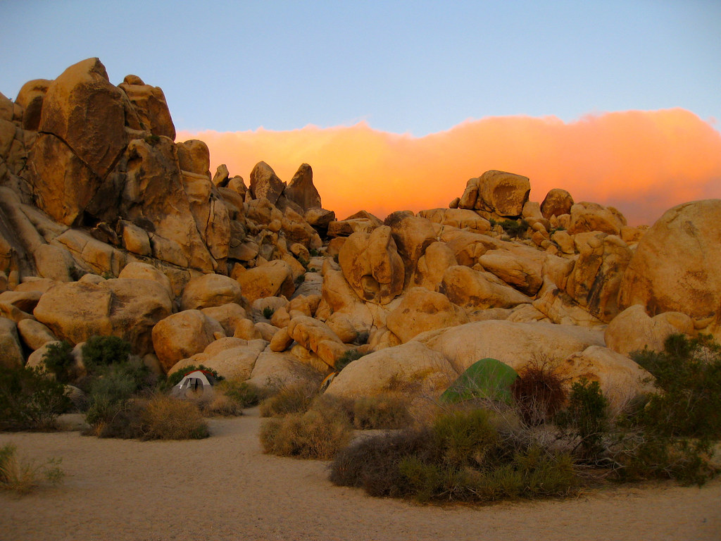 Photo: daveynin, CC BY 2.0 (via Flickr)
Hodgepodge Rock - North Face
~2 min drive
Hodgepodge Rock - North Face in California offers 5 mixed and trad routes across 5 difficulty grades.
Photo: daveynin, CC BY 2.0 (via Flickr)Moosedog Tower
~2 min drive
Moosedog Tower in California has 16 routes across 8 grades, offering sport and trad climbing.
 Photo: daveynin, CC BY 2.0 (via Flickr)
Hodgepodge Rock
~2 min drive
Hodgepodge Rock in California has 2 climbing routes featuring sport and trad styles.
Outfitters and businesses near Twentynine Palms. They haven’t set up their Roamze page yet.
Joshua Tree Outfitters
Rock Climbing business nearby (~8 mi away) — hasn't claimed their Roamze page yet
