Lobotomy Boulder
Lobotomy Boulder in California has 5 bouldering routes across 3 grades.
 Photo: sergei.gussev, CC BY 2.0 (via Flickr)
- 5 routes
- V0+ – V1
- Bouldering
Is Lobotomy Boulder open right now?
Alert in the area
The Forest Service lists 2 alerts for San Bernardino National Forest.
Safety Alert - Falling Rocks at Bonita Falls
Agency alert covering San Bernardino National Forest · USFS · San Bernardino National Forest
Fire Restrictions
Agency alert covering San Bernardino National Forest · Order 05-12-00-26-05 · USFS · San Bernardino National Forest
As of · Source: USFS · San Bernardino National Forest. Agencies don't list every closure — check before you go.
Best time to visit Lobotomy Boulder
Best months: April–July and September–November. Best months have typical highs of 55–85 °F, lows of 30 °F or warmer (32 °F where the station doesn't record snow), at most one snowy day and no more than 12 wet days.
Jan
55° / 31°
7 wet · 2 snow
Feb
54° / 30°
7 wet · 3 snow
Mar
59° / 32°
6 wet · 2 snow
Apr
64° / 35°
4 wet · 1 snow
May
71° / 41°
2 wet
Jun
80° / 48°
1 wet
Jul
85° / 55°
2 wet
Aug
86° / 55°
3 wet
Sep
81° / 50°
2 wet
Oct
72° / 42°
2 wet
Nov
62° / 35°
4 wet · 1 snow
Dec
54° / 30°
6 wet · 2 snow
Typical high / low (°F) and days with rain or snow, 1991–2020. Measured at Idyllwild Fire Dept, CA, 1.5 mi away at 5,380 ft. Source: NOAA NCEI U.S. Climate Normals 1991–2020.
Lobotomy Boulder is a bouldering area in Idyllwild Park, on county land within the San Jacinto Ranger District of San Bernardino National Forest in California. It sits among a cluster of climbing and hiking spots, with Hillside Trail and Meteorite Boulder each about 0.1 mile away. The area has five bouldering routes, all rated V0+ or V1 on the V scale. The Lobotomy boulder is the namesake, and the other routes are Problem 1, Sketch Step and Tiptoe Dancer. Spring and fall are the most comfortable times to visit. Typical averages from a nearby weather station in Idyllwild run from highs around 71°F in May to 72°F in October, with winter bringing highs in the mid-50s and a few snow days a month from December through February. Summit Trail is 0.3 mile away, and Deer Springs is 0.7 mile away. For an overnight stay, Fern Basin campground is about 3 miles off, and Boulder Basin campground is about 6 miles away.
Keep exploring — more climbs worth the drive
Photo: sergei.gussev, CC BY 2.0 (via Flickr)Hillside Trail
~0 min drive
Hillside Trail in California has 6 climbing routes with 5 difficulty grades.
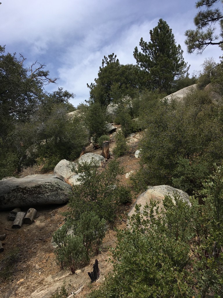 Photo: sergei.gussev, CC BY 2.0 (via Flickr)
Mushroom Boulder
~0 min drive
Mushroom Boulder is a bouldering area in California with 7 routes.
 Photo: sergei.gussev, CC BY 2.0 (via Flickr)
Sites 55 - 78
~0 min drive
10 bouldering routes with pads at Sites 55 - 78 in California.
Photo: sergei.gussev, CC BY 2.0 (via Flickr)The AH Boulder
~0 min drive
AH Boulder, The in California has 12 bouldering routes across 9 grades.
Photo: sergei.gussev, CC BY 2.0 (via Flickr)Road Rock
~0 min drive
Road Rock is a 5-route bouldering area in California with 4 difficulty grades.
Photo: sergei.gussev, CC BY 2.0 (via Flickr)Idyllwild County Park
~0 min drive
Idyllwild County Park in California has 3 bouldering routes.
Photo: sergei.gussev, CC BY 2.0 (via Flickr)Tips Crack Boulder
~0 min drive
Tips Crack Boulder is a bouldering crag in California with 5 routes.
Photo: sergei.gussev, CC BY 2.0 (via Flickr)Family & Friends Boulders
~1 min drive
7 bouldering routes in California spanning 5 difficulty grades.
 Photo: sergei.gussev, CC BY 2.0 (via Flickr)
Other problems
~3 min drive
Other problems is a climbing area in California with 5 routes.
 Photo: sergei.gussev, CC BY 2.0 (via Flickr)
Elephant Man Boulder
~3 min drive
Elephant Man Boulder in California has 5 bouldering routes with pads.

