Inland Empire
- Oct–May
- best months
Inland Empire offers climbing in California's interior region with accessible rock formations suited to climbers seeking variety away from coastal crowds. The area provides opportunities across multiple grades and styles, making it welcoming to both developing climbers and experienced practitioners looking to expand their local options.
 Tips Crack BoulderRock climbing · ~19 min drivePhoto: sergei.gussev, CC BY 2.0 (via Flickr)
- The AH BoulderRock climbing · ~20 min drivePhoto: sergei.gussev, CC BY 2.0 (via Flickr)
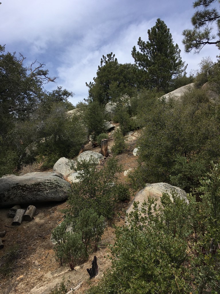 Road RockRock climbing · ~20 min drivePhoto: sergei.gussev, CC BY 2.0 (via Flickr)
 Lobotomy BoulderRock climbing · ~20 min drivePhoto: sergei.gussev, CC BY 2.0 (via Flickr)
- Hillside TrailRock climbing · ~20 min drivePhoto: sergei.gussev, CC BY 2.0 (via Flickr)
- Sites 55 - 78Rock climbing · ~20 min drivePhoto: sergei.gussev, CC BY 2.0 (via Flickr)
 County Classic BouldersRock climbing · ~20 min drivePhoto: sergei.gussev, CC BY 2.0 (via Flickr)
- Idyllwild County ParkRock climbing · ~20 min drivePhoto: sergei.gussev, CC BY 2.0 (via Flickr)
- Family & Friends BouldersRock climbing · ~20 min drivePhoto: sergei.gussev, CC BY 2.0 (via Flickr)
 Summit CorridorRock climbing · ~21 min drivePhoto: simonov, CC BY-SA 2.0 (via Flickr)
Best time to visit Inland Empire
Best months: October–May. Best months have typical highs of 55–85 °F, lows of 30 °F or warmer (32 °F where the station doesn't record snow), at most one snowy day and no more than 12 wet days.
Jan
66° / 44°
6 wet
Feb
67° / 46°
6 wet
Mar
71° / 47°
5 wet
Apr
75° / 49°
3 wet
May
81° / 54°
2 wet
Jun
89° / 56°
1 wet
Jul
96° / 65°
1 wet
Aug
97° / 66°
1 wet
Sep
92° / 62°
1 wet
Oct
82° / 55°
2 wet
Nov
73° / 49°
3 wet
Dec
65° / 43°
5 wet
Typical high / low (°F) and days with rain or snow, 1991–2020. Measured at Hemet, CA, 2.8 mi away at 1,811 ft. The station sits about 800 ft lower than this place, so expect it a little cooler here. Source: NOAA NCEI U.S. Climate Normals 1991–2020.
Routes
No routes catalogued here yet
We have this crag's location and access details, but not its individual climbs. Routes appear here as our sources add them.
The map shows other climbing nearby, or browse more crags.
