Indian Palisades Corridor
Indian Palisades Corridor in California has 17 climbing routes.
- 17 routes
- 5.6 – 5.10b
- Trad · Sport
Is Indian Palisades Corridor open right now?
Alert in the area
The National Park Service lists 3 alerts for Joshua Tree National Park.
Partial Trail Closure of West Side Loop
Park alert covering Joshua Tree National Park · NPS · Joshua Tree National Park
Inaccurate Third-Party Apps
Park alert covering Joshua Tree National Park · NPS · Joshua Tree National Park
Oasis of Mara Trail Partial Closure
Park alert covering Joshua Tree National Park · NPS · Joshua Tree National Park
As of · Source: NPS · Joshua Tree National Park. Agencies don't list every closure — check before you go.
Best time to visit Indian Palisades Corridor
Best months: October–May. Best months have typical highs of 55–85 °F, lows of 30 °F or warmer (32 °F where the station doesn't record snow), at most one snowy day and no more than 12 wet days.
Jan
58° / 38°
4 wet
Feb
61° / 39°
3 wet
Mar
67° / 40°
3 wet
Apr
73° / 46°
2 wet
May
82° / 52°
1 wet
Jun
91° / 59°
0 wet
Jul
96° / 66°
2 wet
Aug
96° / 68°
2 wet
Sep
89° / 60°
2 wet
Oct
80° / 50°
1 wet
Nov
66° / 41°
2 wet
Dec
58° / 34°
4 wet
Typical high / low (°F) and days with rain or snow, 1991–2020. Measured at Yucca Valley, CA, 13.6 mi away at 3,249 ft. This station doesn't record snowfall. Source: NOAA NCEI U.S. Climate Normals 1991–2020.
Indian Palisades Corridor is a climbing area within Joshua Tree National Park in California, managed by the National Park Service. It sits among a cluster of named climbing spots, and a fee is charged for park activities. Spring and fall are the most comfortable times to visit. Typical averages from a nearby weather station in Yucca Valley show April highs around 73°F and October highs around 80°F, while July and August average about 96°F. Several climbing areas lie right next to the corridor, including Varnished Wall, Feudal Wall (Left Side), Willit Pillar and Anvil Boulder, all about 0.1 mile away. For a hike, Big Pine Trail is about 2.3 miles off, and Sheep Pass Group campground is roughly 6.8 miles away.
Routes (17)
Facts about this crag
Keep exploring — more climbs worth the drive
 Photo: Jarek Tuszyński, CC BY-SA 3.0 (via Wikimedia Commons)
Varnished Wall
~0 min drive
Varnished Wall in California has 12 climbing routes across 7 grades.
 Photo: Jarek Tuszyński, CC BY-SA 3.0 (via Wikimedia Commons)
Willit Pillar
~0 min drive
Willit Pillar in California has 9 climbing routes across 6 grades, offering sport and trad options.
 Photo: Jarek Tuszyński, CC BY-SA 3.0 (via Wikimedia Commons)
Pixie Boulder
~0 min drive
Pixie Boulder is a bouldering crag in California with 13 routes.
 Photo: daveynin, CC BY 2.0 (via Flickr)
Pixie Rock
~0 min drive
Pixie Rock in California has 12 climbing routes across 8 difficulty grades.
 Photo: lamblukas, CC BY 2.0 (via Flickr)
King Otto's Castle
~0 min drive
King Otto's Castle in California has 17 climbing routes across 13 grades, offering sport and trad options.
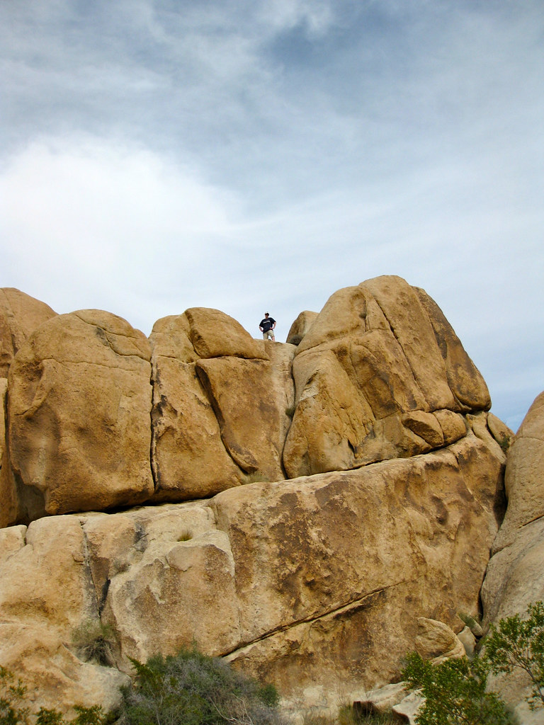 Photo: daveynin, CC BY 2.0 (via Flickr)
Jaime's Rock
~0 min drive
Jaime's Rock in California has 19 climbing routes across 13 grades, offering sport and trad options.
Photo: Jarek Tuszyński, CC BY-SA 3.0 (via Wikimedia Commons)Campfire Crag Boulder
~0 min drive
Campfire Crag Boulder in California has 9 bouldering routes across 6 grades.
Photo: Jarek Tuszyński, CC BY-SA 3.0 (via Wikimedia Commons)Campfire Crag - South Face
~0 min drive
Campfire Crag - South Face in California has 22 climbing routes across 9 grades.
Photo: daveynin, CC BY 2.0 (via Flickr)Circle Crag
~0 min drive
Circle Crag in California has 12 routes across 7 grades, offering sport and trad climbing.
Photo: lamblukas, CC BY 2.0 (via Flickr)Condor Rock
~0 min drive
Condor Rock in California has 8 climbing routes across 5 difficulty grades, offering sport and trad options.

