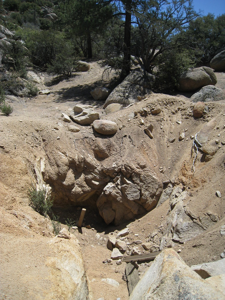
Coyote Crag
Coyote Crag in California has 13 climbing routes across 6 grades, offering sport and trad options.
- 13 routes
- 5.7 – 5.10b
- Sport · Trad
Is Coyote Crag open right now?
Closure in the area
There's a closure order in Mountaintop Ranger District. It doesn't name Coyote Crag, so check the source for the area it covers.
Radford Fire Closure Area
Agency closure covering Mountaintop Ranger District · Order 05-12-52-24-06 · USFS · Mountaintop Ranger District
Safety Alert - Falling Rocks at Bonita Falls
Agency alert covering San Bernardino National Forest · USFS · San Bernardino National Forest
Fire Restrictions
Agency alert covering San Bernardino National Forest · Order 05-12-00-26-05 · USFS · San Bernardino National Forest
As of · Source: USFS · Mountaintop Ranger District. Agencies don't list every closure — check before you go.
Best time to visit Coyote Crag
Best months: May–October. Best months have typical highs of 55–85 °F, lows of 30 °F or warmer (32 °F where the station doesn't record snow), at most one snowy day and no more than 12 wet days.
Jan
46° / 24°
6 wet
Feb
46° / 24°
6 wet
Mar
51° / 27°
6 wet
Apr
57° / 31°
4 wet
May
66° / 37°
2 wet
Jun
75° / 43°
1 wet
Jul
80° / 50°
2 wet
Aug
79° / 49°
3 wet
Sep
73° / 44°
2 wet
Oct
63° / 35°
2 wet
Nov
53° / 28°
3 wet
Dec
46° / 24°
6 wet
Typical high / low (°F) and days with rain or snow, 1991–2020. Measured at Big Bear Lake, CA, 5 mi away at 6,753 ft. The station sits about 800 ft lower than this place, so expect it a little cooler here. This station doesn't record snowfall. Source: NOAA NCEI U.S. Climate Normals 1991–2020.
Coyote Crag is a climbing area in California's San Bernardino National Forest, within the Mountaintop Ranger District. The Forest Service manages the land, and the crag sits among several other climbing spots, with Mad Cow Wall and Tombstone Pit both about 0.1 mile away. The climbing here is a mix of sport and trad routes, with 13 routes in total. The YDS grades range from 5.7 to 5.10b, and the median is 5.9. Sport climbers will find routes like Bye Crackie at 5.7 and High Noon at 5.10b, while trad climbers can try Western Farm Service at 5.8 or Hootenanny at 5.10a. Late spring through early fall is the most comfortable time to climb. Typical averages from a nearby weather station at Big Bear Lake, about 5 miles away, show July highs near 80°F with lows around 50°F. The station sits roughly 800 feet lower than the crag, so temperatures at Coyote Crag run cooler. Tanglewood Group Camp and Holcomb Valley Ranch are both within about 2 miles for camping. Van Dusen Canyon Spur is a hike about 1.5 miles away, and Big Bear Lake Recreation Area is about 3.4 miles away for fishing.
Routes (13)
Keep exploring — more climbs worth the drive
Claim Jumper Wall
~0 min drive
Claim Jumper Wall in California has 22 climbing routes across 9 grades, offering sport and trad styles.
Gunsmoke Wall
~0 min drive
Gunsmoke Wall in California has 19 climbing routes across 13 grades, offering sport and trad options.
Central Pinnacles
~0 min drive
Central Pinnacles in California has 13 routes across 6 grades, offering sport and trad climbing.
Thunderbird Wall
~0 min drive
Thunderbird Wall in California has 13 climbing routes across 8 difficulty grades.
Motherlode Rock - East Face
~0 min drive
20-route climbing area in California with sport and trad options across 12 grades.
Camp Rock
~0 min drive
Camp Rock in California has 5 climbing routes with sport and trad options.
Motherlode Rock - West Face
~0 min drive
11-route climbing crag in California with sport and trad options, grades range from moderate to hard.
* Holcomb Valley Bouldering
~0 min drive
3 bouldering routes in California range from moderate to difficult.
Motherlode Rock - North Face
~0 min drive
Motherlode Rock - North Face in California has 9 climbing routes with 6 difficulty grades.
Prairie Squid Wall
~0 min drive
Prairie Squid Wall in California has 6 trad routes on 2 difficulty grades.