Buttermilk Stem SDS
Mid-range problem among 12 routes at Buttermilk Stem Boulder.
- V4-
- grade
- Bouldering Pads
- style
Is Buttermilk Stem SDS open right now?
Alert in the area
The Forest Service lists 4 alerts for Inyo National Forest.
Stage 1 Fire Restrictions in Effect
Agency alert covering Inyo National Forest · Order 05-04-50-26-23 · USFS · Inyo National Forest
Help Halt Golden Mussel Invasion
Agency alert covering Inyo National Forest · USFS · Inyo National Forest
Ansel Adams and John Muir Wilderness Campfire Restrictions
Agency alert covering Inyo National Forest · Order 05-04-50-25-04 · USFS · Inyo National Forest
Golden Trout and Hoover Wilderness Campfire Restrictions
Agency alert covering Inyo National Forest · Order 05-04-50-25-05 · USFS · Inyo National Forest
As of · Source: USFS · Inyo National Forest. Agencies don't list every closure — check before you go.
Best time to visit Buttermilk Stem SDS
Best months: May–October. Best months have typical highs of 55–85 °F, lows of 30 °F or warmer (32 °F where the station doesn't record snow), at most one snowy day and no more than 12 wet days.
Jan
43° / 24°
11 wet
Feb
44° / 23°
11 wet
Mar
46° / 26°
10 wet
Apr
50° / 29°
8 wet
May
56° / 36°
6 wet
Jun
66° / 42°
3 wet
Jul
74° / 49°
2 wet
Aug
74° / 49°
1 wet
Sep
68° / 44°
2 wet
Oct
58° / 37°
4 wet
Nov
49° / 31°
8 wet
Dec
44° / 25°
10 wet
Typical high / low (°F) and days with rain or snow, 1991–2020. Measured at Huntington Lake, CA, 36.2 mi away at 7,020 ft. The station sits about 600 ft higher than this place, so expect it a little warmer here. This station doesn't record snowfall. Source: NOAA NCEI U.S. Climate Normals 1991–2020.
One of 12 boulder problems catalogued at Buttermilk Stem Boulder, situated in the middle of the crag's V0+ to V9 range.
Photo of the crag

Keep exploring — more climbs worth the drive
 Photo: Kunstee, CC BY 2.0 (via Flickr)
Buttermilk Stem Area
~0 min drive
Buttermilk Stem Area is a bouldering crag in California with 1 route.
 Photo: MarkDoliner, CC BY-SA 2.0 (via Flickr)
Rowell Rock
~0 min drive
Rowell Rock in California has 9 bouldering routes across 6 grades.
Photo: Kunstee, CC BY 2.0 (via Flickr)Cave Area
~0 min drive
Cave Area in California has 4 bouldering routes.
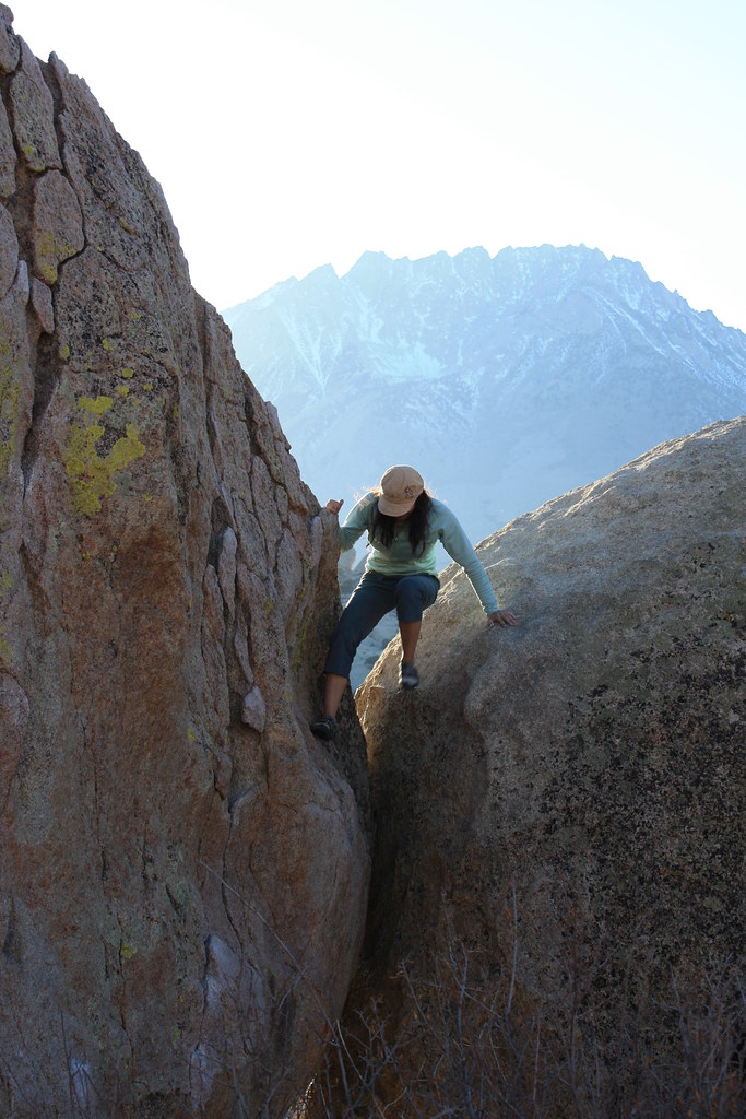 Photo: MarkDoliner, CC BY-SA 2.0 (via Flickr)
Cave Boulder
~0 min drive
Cave Boulder in California has 17 bouldering routes with 13 difficulty grades.
Photo: Kunstee, CC BY 2.0 (via Flickr)Fit Homeless Boulder
~0 min drive
Bouldering crag in California with 9 routes, 6 difficulty grades.
Photo: MarkDoliner, CC BY-SA 2.0 (via Flickr)Buttermilks Main
~0 min drive
Buttermilks Main in California has 24 climbing routes on 16 difficulty grades.
Photo: Kunstee, CC BY 2.0 (via Flickr)Corner Boulders
~0 min drive
Corner Boulders is a California climbing area with 9 routes across 8 grades.
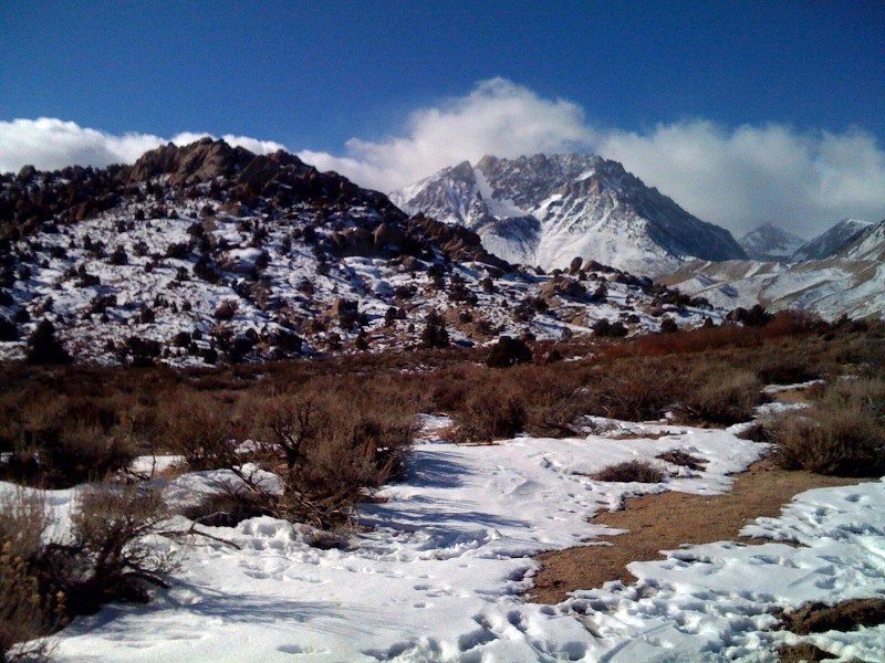 Photo: dret, CC BY-SA 2.0 (via Flickr)
Roadside Area
~0 min drive
Roadside Area in California has 3 bouldering routes with bouldering pads.
Photo: dret, CC BY-SA 2.0 (via Flickr)Roadside Boulder
~0 min drive
Roadside Boulder in California has 7 bouldering routes across 5 grades.
 Photo: Kunstee, CC BY 2.0 (via Wikimedia Commons)
Saigon Boulder
~0 min drive
Saigon Boulder in California has 7 bouldering routes across 6 difficulty grades.


