Alabama Hills South
Alabama Hills South in California has 10 routes spanning 7 grades, offering sport and trad climbing.
 Photo: docentjoyce, CC BY 2.0 (via Flickr)
- 10 routes
- 5.7 – 5.10c
- Sport · Trad
Best time to visit Alabama Hills South
Best months: February–May and October–November. Best months have typical highs of 55–85 °F, lows of 30 °F or warmer (32 °F where the station doesn't record snow), at most one snowy day and no more than 12 wet days.
Jan
58° / 30°
4 wet
Feb
61° / 33°
4 wet
Mar
69° / 39°
3 wet
Apr
76° / 44°
1 wet
May
85° / 53°
1 wet
Jun
96° / 62°
1 wet
Jul
102° / 67°
1 wet
Aug
101° / 65°
1 wet
Sep
93° / 58°
1 wet
Oct
81° / 48°
1 wet
Nov
67° / 36°
2 wet
Dec
57° / 29°
4 wet
Typical high / low (°F) and days with rain or snow, 1991–2020. Measured at Independence, CA, 15.4 mi away at 3,950 ft. The station sits about 600 ft lower than this place, so expect it a little cooler here. This station doesn't record snowfall. Source: NOAA NCEI U.S. Climate Normals 1991–2020.
Alabama Hills South is a climbing area on Bureau of Land Management land within the Bishop Field Office in California. It sits among a cluster of other climbing spots, with Arizona Dome just 0.1 mile away and South Park and the Tenacious D wall each about 0.2 mile off. Spring and fall are the most comfortable times to visit. Typical averages from a nearby weather station in Independence show April highs around 76°F and October highs around 81°F, while July and August average in the low 100s. For a longer outing, the Alabama Hills Trail is about a mile away, and Tuttle Creek Campground is roughly 1.8 miles off. Lone Pine campground lies about 4 miles away.
Routes (10)
Horse Apple Tower(2)
Oasis, The(2)
Southern Arizona(3)
Keep exploring — more climbs worth the drive
 Photo: Seth Tisue, CC BY-SA 2.0 (via Flickr)
South Park
~0 min drive
South Park in California has 7 climbing routes across 5 grades, offering sport and trad options.
Photo: docentjoyce, CC BY 2.0 (via Flickr)Alabama Dome
~0 min drive
Alabama Dome in California offers sport climbing on 5 routes across 5 difficulty grades.
Photo: docentjoyce, CC BY 2.0 (via Flickr)The Penguins
~0 min drive
8 climbing routes in California, mixed and sport styles, 5 difficulty grades.
Photo: Seth Tisue, CC BY-SA 2.0 (via Flickr)Southern Blonde
~1 min drive
Southern Blonde in California has 7 climbing routes across 5 grades, offering sport and trad options.
 Photo: jfdervin, CC BY-SA 2.0 (via Flickr)
Rock Candy Tower
~1 min drive
Rock Candy Tower is a 7-route sport climbing area in California with routes spanning 6 difficulty grades.
Photo: jfdervin, CC BY-SA 2.0 (via Flickr)Tootsie Pop Tower
~1 min drive
Tootsie Pop Tower in California has 13 climbing routes across 8 grades.
Photo: jfdervin, CC BY-SA 2.0 (via Flickr)The Capricorn Wall
~1 min drive
Capricorn Wall in California has 5 sport climbing routes.
 Photo: lamblukas, CC BY 2.0 (via Flickr)
Pu Pu Platter
~1 min drive
Pu Pu Platter in California has 5 sport climbing routes across 4 grades.
 Photo: RuggyBearLA, CC BY 2.0 (via Flickr)
Kearsarge Dome aka The Battle Ship
~1 min drive
Kearsarge Dome (The Battle Ship) in California has 12 climbing routes across 8 grades in mixed, sport, and trad styles.
 Photo: RuggyBearLA, CC BY 2.0 (via Flickr)
South Pile
~1 min drive
South Pile in California has 5 sport climbing routes across 3 difficulty grades.
Also worth it near here
 Photo: lamblukas, CC BY 2.0 (via Flickr)
Alabama Hills Trail
~2 min drive
 Photo: Clyde Charles Brown, CC BY-SA 4.0 (via Wikimedia Commons)
Mobius Arch
~3 min drive
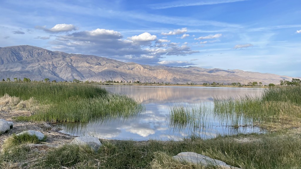 Photo: jfdervin — CC BY-SA 2.0 (via Flickr)
Diaz Lake Campground
~6 min drive
 Photo: UFGS Region 5, CC BY 2.0 (via Wikimedia Commons)
Lone Pine Peak
~11 min drive
