The Grack Area
The Grack Area in California has 19 climbing routes across 11 grades, offering mixed, sport, and trad styles.
- 19 routes
- 5.6 – 5.12a
- Trad · Sport · Mixed
Is The Grack Area open right now?
No closures listed
The National Park Service lists no closures for Yosemite National Park.
As of · Source: NPS · Yosemite National Park. Agencies don't list every closure — check before you go.
Best time to visit The Grack Area
Best months: March–June and September–November. Best months have typical highs of 55–85 °F, lows of 30 °F or warmer (32 °F where the station doesn't record snow), at most one snowy day and no more than 12 wet days.
Jan
48° / 29°
9 wet
Feb
51° / 30°
9 wet
Mar
57° / 33°
10 wet
Apr
63° / 38°
8 wet
May
70° / 45°
6 wet
Jun
80° / 51°
3 wet
Jul
89° / 57°
1 wet
Aug
89° / 57°
1 wet
Sep
83° / 51°
2 wet
Oct
71° / 41°
3 wet
Nov
56° / 32°
6 wet
Dec
46° / 28°
8 wet
Typical high / low (°F) and days with rain or snow, 1991–2020. Measured at Yosemite Park Hq, CA, 2 mi away at 4,018 ft. This station doesn't record snowfall. Source: NOAA NCEI U.S. Climate Normals 1991–2020.
The Grack Area is a climbing area in Yosemite National Park, California, within the Yosemite Wilderness. The National Park Service manages the land, and the area sits among several other climbing spots, including the Strange Energy Area and the Goodrich Pinnacle Area, both within a quarter mile. The climbing here is a mix of trad, sport and mixed routes, with 19 routes in total. The YDS grade range runs from 5.6 to 5.12a, and the median is 5.10b. The Cow-Center Route is the easiest at 5.6, while Jack the Zipper is the hardest at 5.12a. The Cow-Left Side, a trad route, was first climbed by Ken Boche and Mary Bomba in 1970. For timing, late spring and early fall are the most comfortable. Typical averages from a nearby weather station show May highs around 70°F and October highs around 71°F, with July and August peaking near 89°F. A fee is charged for climbing here. Lower Pines Campground and North Pines Campground are both about 0.8 miles away. The Happy Isles Loop Road and the Stock Trail are also close by.
Routes (19)
Facts about this crag
Keep exploring — more climbs worth the drive
 Photo: Moo.The.Cow, CC BY 2.0 (via Flickr)
Monday Morning Slab
~0 min drive
Monday Morning Slab in California has 6 climbing routes with mixed and trad styles.
 Photo: Gary, CC BY-SA 2.0 (via Wikimedia Commons)
Jericho Wall
~1 min drive
Jericho Wall in California has 6 climbing routes across 4 grades, offering mixed and traditional styles.
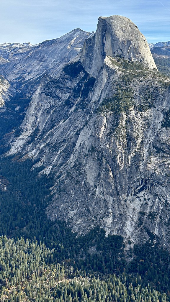 Photo: lamblukas, CC BY 2.0 (via Flickr)
GPA - Right Side
~1 min drive
GPA - Right Side in California has 22 routes across 13 grades, offering mixed and traditional climbing.
 Photo: Seth Tisue, CC BY-SA 2.0 (via Flickr)
Mist Trail Boulders
~1 min drive
6 bouldering routes in California spanning 5 grades.
 Photo: Billy Chester billychester, CC0 (via Wikimedia Commons)
Curry Village
~1 min drive
Curry Village in California has 22 bouldering routes across 15 difficulty grades.
 Photo: lamblukas, CC BY 2.0 (via Flickr)
Angler Boulder
~1 min drive
Angler Boulder in California has 5 bouldering routes across 4 difficulty grades.
 Photo: lewinb, CC BY-SA 2.0 (via Flickr)
Royal Arches Area
~2 min drive
Royal Arches Area in California has 2 climbing routes with mixed protection.
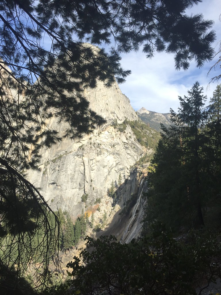 Photo: bensondoc, CC BY-SA 2.0 (via Flickr)
Valley South Side
~2 min drive
Valley South Side in California has 22 climbing routes with mixed and trad protection.
 Photo: lamblukas, CC BY 2.0 (via Flickr)
Pathway Boulders
~2 min drive
Pathway Boulders in California has 5 bouldering routes across 4 difficulty grades.
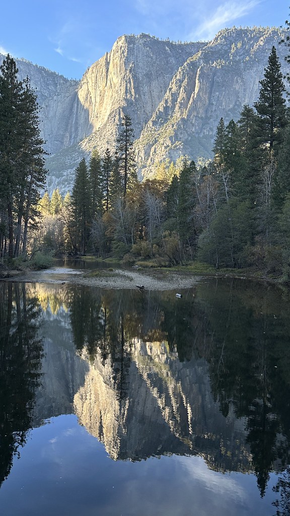 Photo: lamblukas, CC BY 2.0 (via Flickr)
The Housekeeping Boulder
~2 min drive
Housekeeping Boulder is a California climbing area with 10 bouldering routes.
Also worth it near here
 Photo: Aaron Zhu, CC BY-SA 3.0 (via Wikimedia Commons)
Happy Isles Loop Road
~1 min drive
 Photo: Andrew Burnham, CC BY-SA 3.0 (via Wikimedia Commons)
Upper Pines Campground
~1 min drive
 Photo: Wingchi Poon, CC BY-SA 3.0 (via Wikimedia Commons)
Sierra Point
~1 min drive
 Photo: Ambitious Wench, CC BY-SA 2.0 (via Wikimedia Commons)
Staircase Falls
~1 min drive
