Stumpy Meadows Boat Ramp
- Feb–Jun, Oct–Nov
- best months
Caution today
Agency alerts are in effect for this area; weather is marginal · USFS, OpenWeather · checked just now
Is Stumpy Meadows Boat Ramp open right now?
Alert in the area
The Forest Service lists 2 alerts for Eldorado National Forest.
Help Halt Golden Mussel Invasion
Agency alert covering Eldorado National Forest · USFS · Eldorado National Forest
Deer Valley Trail (19E01) & Meadow Lake Road (09N01)
Agency alert covering Eldorado National Forest · Order 03-24-05 · USFS · Eldorado National Forest
As of · Source: USFS · Eldorado National Forest. Agencies don't list every closure — check before you go.
Stumpy Meadows Boat Ramp is a boat launch in the Georgetown Ranger District of Eldorado National Forest in California, about 10 miles from the town of Pollock Pines. It is a simple put-in with vault toilets, and a fee is charged for use. Spring and fall are the most comfortable times to visit. Typical averages from a nearby weather station show May highs around 72°F and October highs around 74°F, while July and August average about 91°F. The West Shoreline Trail starts just 0.1 mile away, and Ponderosa Cove Campground is about 0.4 mile off. Stumpy Meadows Campground and the Stumpy Meadows Trail are both about 0.7 mile away.
- Launch type
- Boat ramp
- Fee
- Fee charged
- Restrooms
- Yes
 West Shoreline TrailHikingPhoto: Pacific Southwest Region 5, Public domain (via Wikimedia Commons)0.1 mi
- Ponderosa Cove CgCamping0.4 mi
- Stumpy Meadows TrailHikingPhoto: Pacific Southwest Region 5, Public domain (via Wikimedia Commons)0.7 mi
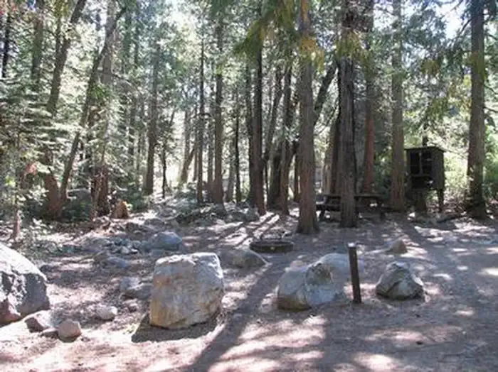 Stumpy MeadowsCampingPhoto: Recreation.gov (RIDB) / public domain0.7 mi
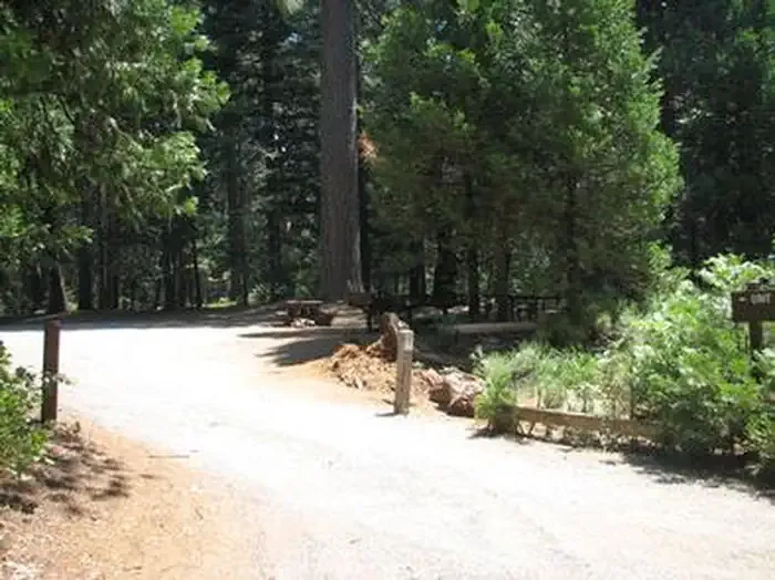 Black OakCampingPhoto: Recreation.gov (RIDB) / public domain1 mi
- Pilot CreekCanoeing1.9 mi
- Slab CreekCanoeing4.3 mi
- SLATE CANYONHiking4.8 mi
Source: Roamze catalog (indexable pages within 10 miles, PostGIS distance)
- West Slab Creek Boat RampBoat launch · ~18 min drive
- Slab CreekCanoeing · ~7 min drive
- Oxbow Put-InBoat launch · ~18 min drive
- Bear CreekCanoeing · ~17 min drive
- Oxbow Raft Put-InBoat launch · ~18 min drive
- Otter CreekCanoeing · ~18 min drive
- Sunset Boat RampBoat launch · ~20 min drive
- Canyon CreekCanoeing · ~22 min drive
- Loon Lake Boat RampBoat launch · ~28 min drive
- South Fork Rubicon RiverCanoeing · ~24 min drive
Best time to visit Stumpy Meadows Boat Ramp
Best months: February–June and October–November. Best months have typical highs of 55–85 °F, lows of 30 °F or warmer (32 °F where the station doesn't record snow), at most one snowy day and no more than 12 wet days.
Jan
52° / 36°
Feb
55° / 36°
Mar
59° / 38°
Apr
64° / 41°
May
72° / 48°
Jun
82° / 56°
Jul
91° / 63°
Aug
91° / 62°
Sep
86° / 57°
Oct
74° / 49°
Nov
59° / 41°
Dec
50° / 36°
Typical high / low (°F) and days with rain or snow, 1991–2020. Measured at Georgetown Rs, CA, 10.8 mi away at 3,001 ft. We don't have this place's elevation, so higher spots nearby can run cooler. This station doesn't record snowfall. Source: NOAA NCEI U.S. Climate Normals 1991–2020.
Closures we've recorded since August 2026
Fire Restrictions are in Effect Forest Wide
Eldorado National Forest · Order dated September 22, 2026; seen Aug 23, 2026 → lifted Nov 2, 2026 · Forest Service
