Marble Creek
- 7.8 mi
- distance
- 5,122 ft
- high point
- Apr–Nov
- best months
Is Marble Creek open right now?
Closure in the area
There's a closure order in Feather River Ranger District. It doesn't name Marble Creek, so check the source for the area it covers (2 listed).
Rogers Cow Camp Area Closure
Agency closure covering Feather River Ranger District · Order 05-11-03-26-02 · USFS · Feather River Ranger District
Golden Trout Campground Closing for Season August 2, 2026 at 2 p.m.
Agency closure covering Feather River Ranger District · Order 05-11-03-26-01 · USFS · Feather River Ranger District
Stage I Fire Restrictions - Plumas National Forest
Agency alert covering Plumas National Forest · Order 05-11-26-04 · USFS · Plumas National Forest
As of · Source: USFS · Feather River Ranger District. Agencies don't list every closure — check before you go.
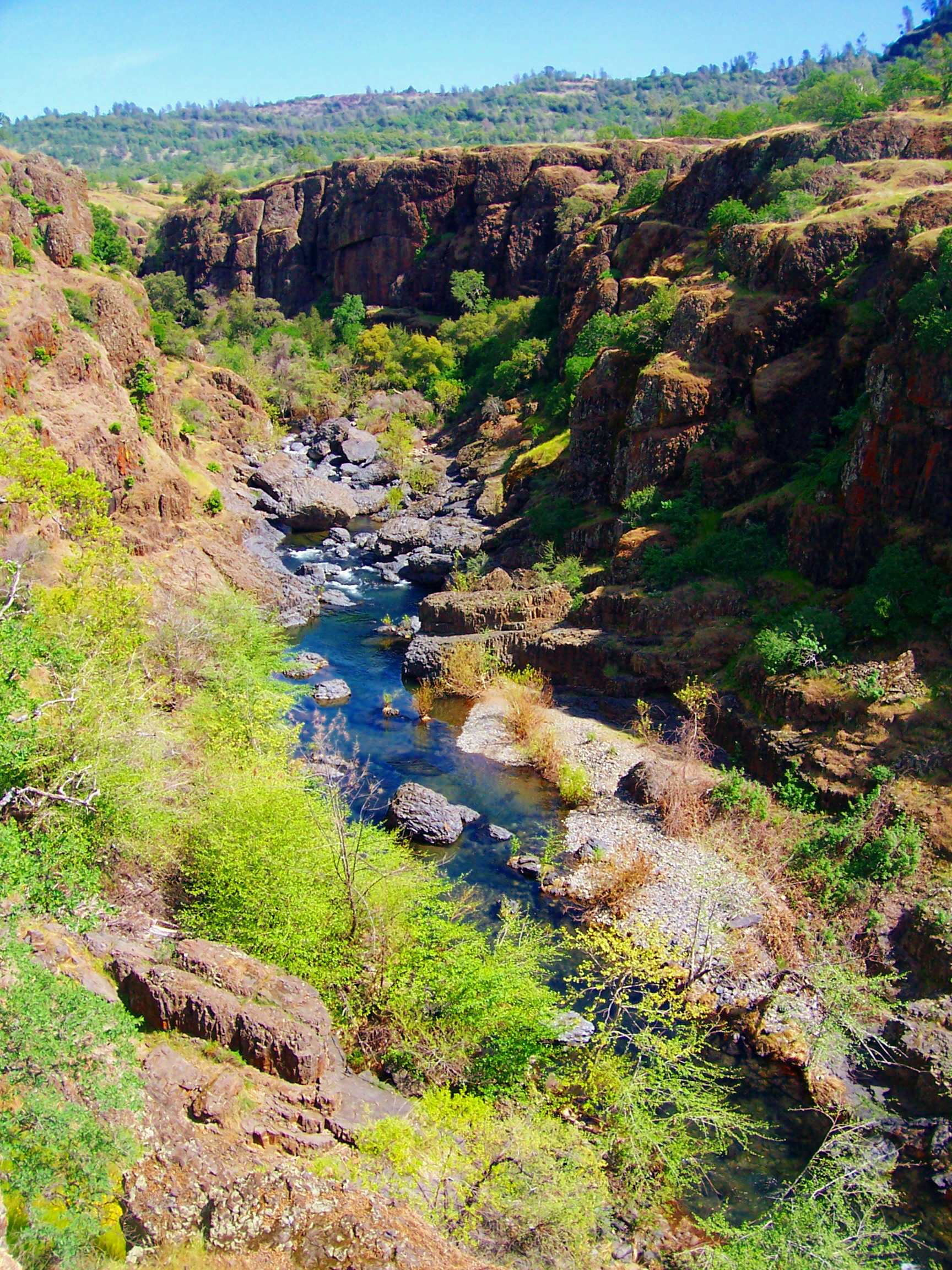
Marble Creek is a canoeing spot in California's Plumas National Forest, within the Feather River Ranger District. It sits about 8 miles from the town of Strawberry Valley, at a point where paddlers can put in on the water. Late spring and early fall are the most comfortable times to paddle. Typical averages from a nearby weather station show May highs around 68°F and September highs around 80°F, with only a day or two of rain in those months. That station sits roughly 1,300 feet below the creek, so temperatures on the water run cooler. The Little North Fork (Family Campground) is about 1.6 miles away, and the Little North Fork of Middle Fork Feather River, another paddling route, is about 2 miles away. Coquette Creek is about 3.4 miles away. For a hike, Rock Island Ridge is about 1.7 miles away.
- Little North Fork (Family Cg)Camping1.6 mi
- ROCK ISLAND RIDGEHiking1.7 mi
- Little North Fork of Middle Fork Feather RiverCanoeing2 mi
- ROCK ISLAND RIDGE WESTHiking2.9 mi
- Coquette CreekCanoeing3.4 mi
- Grizzly Creek (family Cg)Camping7 mi
- The Tunnel RoutesRock climbing7.1 mi
- The Main WallRock climbing7.2 mi
Source: Roamze catalog (indexable pages within 10 miles, PostGIS distance)
 Big Chico CreekCanoeing · ~42 min drivePhoto: Ebryden at English Wikipedia, Public domain (via Wikimedia Commons)
- Sandy Point Boating and Day Use SiteBoat launch · ~17 min drive
- Little North Fork of Middle Fork Feather RiverCanoeing · ~3 min drive
- Sly Creek Reservoir Recreation Area Boating SiteBoat launch · ~28 min drive
- Coquette CreekCanoeing · ~6 min drive
- Strawberry Car Top LaunchBoat launch · ~29 min drive
- Coldwater CreekCanoeing · ~7 min drive
- Tooms (Boating)Boat launch · ~29 min drive
- Grizzly CreekCanoeing · ~10 min drive
- Little Grass Valley Reservoir Recreation Area Boating SiteBoat launch · ~30 min drive
Also worth it near here
- The Tunnel RoutesRock climbing · ~12 min drive
 Bald Rock DomeSummit · ~16 min drivePhoto: Derek Wolfgram from San Jose, CA, CC BY 2.0 (via Wikimedia Commons)
 Feather FallsWaterfall · ~17 min drivePhoto: Podruznik at English Wikipedia, Public domain (via Wikimedia Commons)
- Whitehorse CampgroundCamping · ~18 min drive
Best time to visit Marble Creek
Best months: April–November. Best months have typical highs of 55–85 °F, lows of 30 °F or warmer (32 °F where the station doesn't record snow), at most one snowy day and no more than 12 wet days.
Jan
51° / 30°
13 wet
Feb
51° / 30°
12 wet
Mar
54° / 32°
12 wet
Apr
59° / 35°
9 wet
May
68° / 42°
7 wet
Jun
77° / 48°
3 wet
Jul
85° / 53°
1 wet
Aug
85° / 51°
1 wet
Sep
80° / 48°
2 wet
Oct
70° / 41°
5 wet
Nov
57° / 34°
9 wet
Dec
50° / 30°
12 wet
Typical high / low (°F) and days with rain or snow, 1991–2020. Measured at Strawberry Valley, CA, 18.2 mi away at 3,808 ft. The station sits about 1,300 ft lower than this place, so expect it a little cooler here. This station doesn't record snowfall. Source: NOAA NCEI U.S. Climate Normals 1991–2020.
