Camino Cove Campground
Campground
Campground · 1.6 mi from the trail
Caution at last check
Agency alerts are in effect for this area; weather is good · USFS, OpenWeather · checked 18 h ago
Alert in the area
The Forest Service lists 2 alerts for Eldorado National Forest.
Help Halt Golden Mussel Invasion
Agency alert covering Eldorado National Forest · USFS · Eldorado National Forest
Deer Valley Trail (19E01) & Meadow Lake Road (09N01)
Agency alert covering Eldorado National Forest · Order 03-24-05 · USFS · Eldorado National Forest
As of · Source: USFS · Eldorado National Forest. Agencies don't list every closure — check before you go.
Little Silver Creek is a paddling spot in California's Eldorado National Forest, within the Pacific Ranger District. The nearest town is about 5 miles away. The most comfortable paddling weather comes in July and August, when typical averages from a nearby weather station run from about 76 to 77°F for highs and around 46°F for lows. Winter there is cold, with typical January highs near 37°F. Camino Cove Campground and West Point Campground both sit within about 2 miles, and the Tricometric Trail and Big Hill Trail are a little farther. For more paddling, the South Fork Rubicon River is roughly 6 miles away.
Camino Cove Campground
Campground
Uncle Tom's Cabin
Bar
Places © OpenStreetMap contributors
More in Sunnyside-Tahoe CityNot on Roamze yet. Their page has how to reach them.
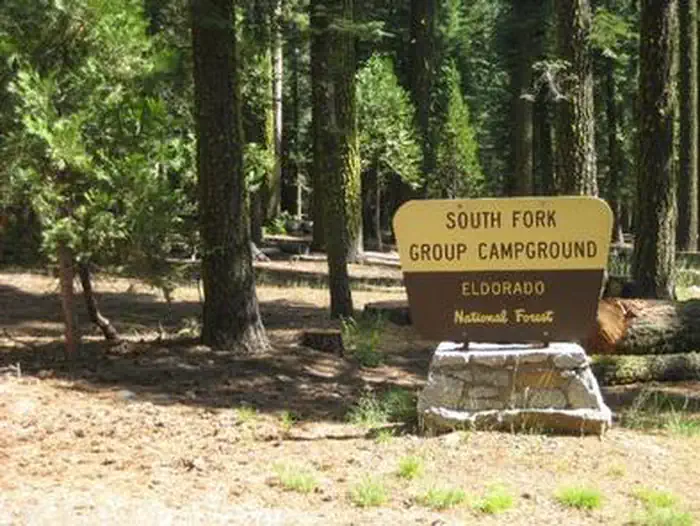 South Fork Group - Eldorado NFRiver fishing4 mi
Source: Roamze catalog (indexable pages within 10 miles, PostGIS distance)
 South Fork American RiverCanoeing · ~25 min drivePhoto: Tim Who wants to know, CC BY-SA 2.0 (via Wikimedia Commons)
Best months: May–October. Best months have typical highs of 55–85 °F, lows of 30 °F or warmer (32 °F where the station doesn't record snow), at most one snowy day and no more than 12 wet days.
Jan
37° / 22°
Feb
38° / 22°
Mar
43° / 25°
Apr
49° / 27°
May
58° / 34°
Jun
69° / 40°
Jul
77° / 46°
Aug
76° / 46°
Sep
69° / 41°
Oct
58° / 34°
Nov
44° / 27°
Dec
38° / 21°
Typical high / low (°F) and days with rain or snow, 1991–2020. Measured at Tahoma, CA, 20.2 mi away at 6,315 ft. The station sits about 800 ft higher than this place, so expect it a little warmer here. This station doesn't record snowfall. Source: NOAA NCEI U.S. Climate Normals 1991–2020.
Fire Restrictions are in Effect Forest Wide
Eldorado National Forest · Order dated September 22, 2026; seen Aug 23, 2026 → lifted Nov 2, 2026 · Forest Service

