West Point Campground
Campground
Campground · < 0.1 mi from the trail
Alert in the area
The Forest Service lists 2 alerts for Eldorado National Forest.
Help Halt Golden Mussel Invasion
Agency alert covering Eldorado National Forest · USFS · Eldorado National Forest
Deer Valley Trail (19E01) & Meadow Lake Road (09N01)
Agency alert covering Eldorado National Forest · Order 03-24-05 · USFS · Eldorado National Forest
As of · Source: USFS · Eldorado National Forest. Agencies don't list every closure — check before you go.
West Point Campground is a Forest Service campground in the Pacific Ranger District of Eldorado National Forest in California. It sits within the national forest's boundaries, and the land is managed by the Forest Service. The most comfortable months for a visit are typically late spring and early fall. Typical averages from a nearby weather station at Pacific House show May highs around 72°F and October highs around 66°F, while July and August average about 90°F. That station sits roughly 1,450 feet lower than the campground, so temperatures at the camp run cooler. The closest neighbor is Camino Cove Campground, about a mile away. Big Hill Trail is about 1.3 miles off, and Little Silver Creek offers canoeing about 1.9 miles away. Sunset-Union Valley campground is about 2 miles away.
West Point Campground
Campground
Uncle Tom's Cabin
Bar
Baldwin Home
Museum
Places © OpenStreetMap contributors
More in Sunnyside-Tahoe City Sunset-Union ValleyCampingPhoto: Recreation.gov (RIDB) / public domain2 mi
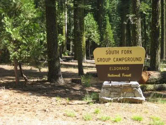 South Fork Group - Eldorado NFRiver fishing5.7 mi
Source: Roamze catalog (indexable pages within 10 miles, PostGIS distance)
Best months: March–June and September–October. Best months have typical highs of 55–85 °F, lows of 30 °F or warmer (32 °F where the station doesn't record snow), at most one snowy day and no more than 12 wet days.
Jan
44° / 32°
12 wet
Feb
50° / 31°
12 wet
Mar
56° / 33°
12 wet
Apr
63° / 36°
9 wet
May
72° / 42°
7 wet
Jun
82° / 47°
3 wet
Jul
90° / 53°
1 wet
Aug
89° / 52°
1 wet
Sep
83° / 49°
2 wet
Oct
66° / 41°
5 wet
Nov
51° / 35°
9 wet
Dec
43° / 31°
12 wet
Typical high / low (°F) and days with rain or snow, 1991–2020. Measured at Pacific House, CA, 8.4 mi away at 3,450 ft. The station sits about 1,500 ft lower than this place, so expect it a little cooler here. This station doesn't record snowfall. Source: NOAA NCEI U.S. Climate Normals 1991–2020.
Fire Restrictions are in Effect Forest Wide
Eldorado National Forest · Order dated September 22, 2026; seen Aug 23, 2026 → lifted Nov 2, 2026 · Forest Service
West Point Campground
Book on Recreation.gov

