Grider Creek
- 15.9 mi
- distance
- 5,847 ft
- high point
Is Grider Creek open right now?
Alert in the area
The Forest Service lists 2 alerts for Klamath National Forest.
Temporarily closure of approximately 3.5 miles of National Forest System Roads 47N01
Agency alert covering Klamath National Forest · Order 05-05-00-26-08 · USFS · Klamath National Forest
Grayback Road Repairs
Agency alert covering Klamath National Forest · USFS · Klamath National Forest
As of · Source: USFS · Klamath National Forest. Agencies don't list every closure — check before you go.
Grider Creek is a 16-mile paddling stretch near Fort Jones, California. It flows year-round. USGS models an average flow of about 168 cfs and a gradient of about 282.2 feet per mile. Land along it is managed by the U.S. Forest Service.
Local outfitters
- Noah's River Adventures41 mi away
- Momentum River Expeditions41 mi away
Not on Roamze yet. Their page has how to reach them.
- Pacific Crest National Scenic TrailHiking2.6 mi
- Tyler MeadowsHiking4.4 mi
- No NameHiking6.9 mi
- Elk CreekCanoeing7.6 mi
- Fort GoffCamping8.5 mi
- Seiad CreekCanoeing8.9 mi
- Sarah Totten CampgroundCamping9 mi
- Curly Jack CampgroundCamping9.4 mi
Source: Roamze catalog (indexable pages within 10 miles, PostGIS distance)
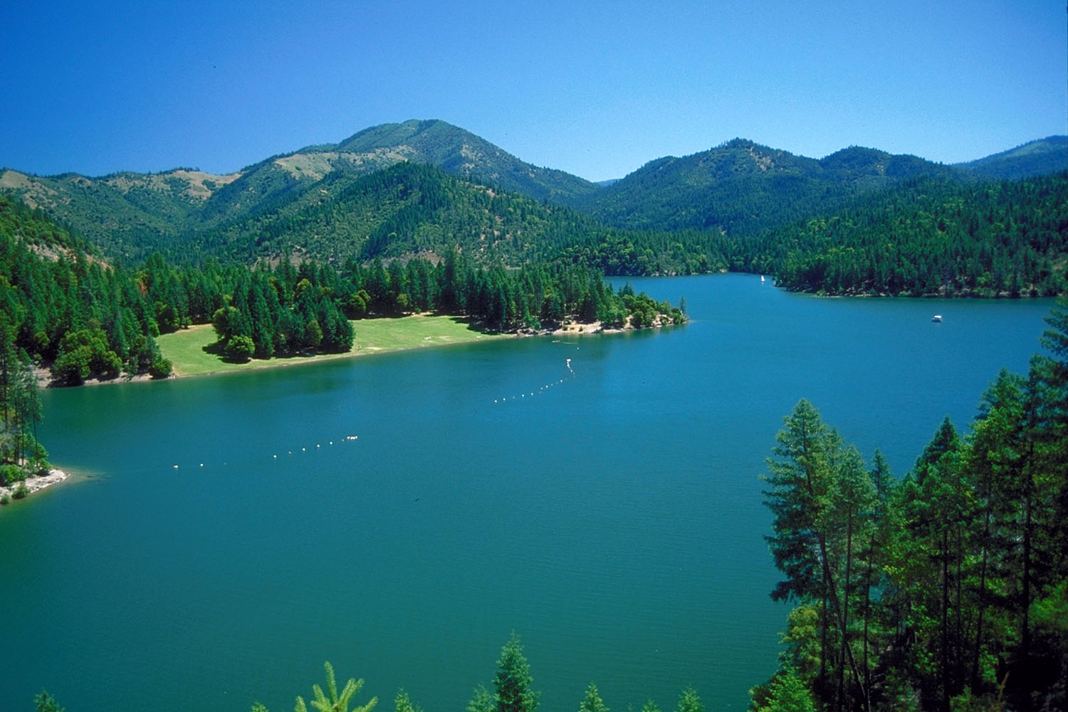 Applegate RiverCanoeing · ~30 min drivePhoto: Bill Johnson, U.S. Army Corps of Engineers, Public domain (via Wikimedia Commons)
- Rocky Bar River AccessBoat launch · ~12 min drive
- HART-TISH PARK at APPLEGATE LAKEStand up paddleboarding · ~38 min drive
- Sarah Totten CampgroundFloat trip · ~15 min drive
- Elk CreekCanoeing · ~13 min drive
- Seattle Creek Boating SiteBoat launch · ~14 min drive
- Jackson Campground On The Applegate RiverStand up paddleboarding · ~45 min drive
- Independence CreekCanoeing · ~22 min drive
- Wingate Bar Boating SiteBoat launch · ~20 min drive
- South Fork Clear CreekCanoeing · ~26 min drive
