Forsythe Creek
- 14.1 mi
- distance
- 2,159 ft
- high point
- Apr–Nov
- best months
Forsythe Creek is a 14-mile paddling stretch near Redwood Valley, California, about 2.7 miles from the town of Ridge. It is an intermittent waterway, and it may run dry in some seasons. USGS models an average flow of about 101 cubic feet per second and a gradient of about 104.4 feet per mile. Summer is the most comfortable time to paddle. Typical averages from a nearby weather station in Willits show July and August highs around 83°F with almost no wet days, while winter months bring highs in the mid-50s and rain on about 13 to 15 days a month. That station sits roughly 800 feet lower than the creek, so temperatures on the creek run cooler. The Russian River is about 3.6 miles away, and Davis Creek is about 5.9 miles away. For time on foot, the Jerry Cook Trail is about 4.8 miles off, and the River Access Trail is about 5.1 miles away.
 Russian RiverCanoeingPhoto: The original uploader was Finlay McWalter at English Wikipedia., CC BY-SA 3.0 (via Wikimedia Commons)3.6 mi
- Jerry Cook TrailHiking4.8 mi
- River Access TrailHiking5.1 mi
- Davis CreekCanoeing5.9 mi
 Pomo Day Use AreaCampingPhoto: Recreation.gov (RIDB) / public domain7 mi
- Baechtel CreekCanoeing7.5 mi
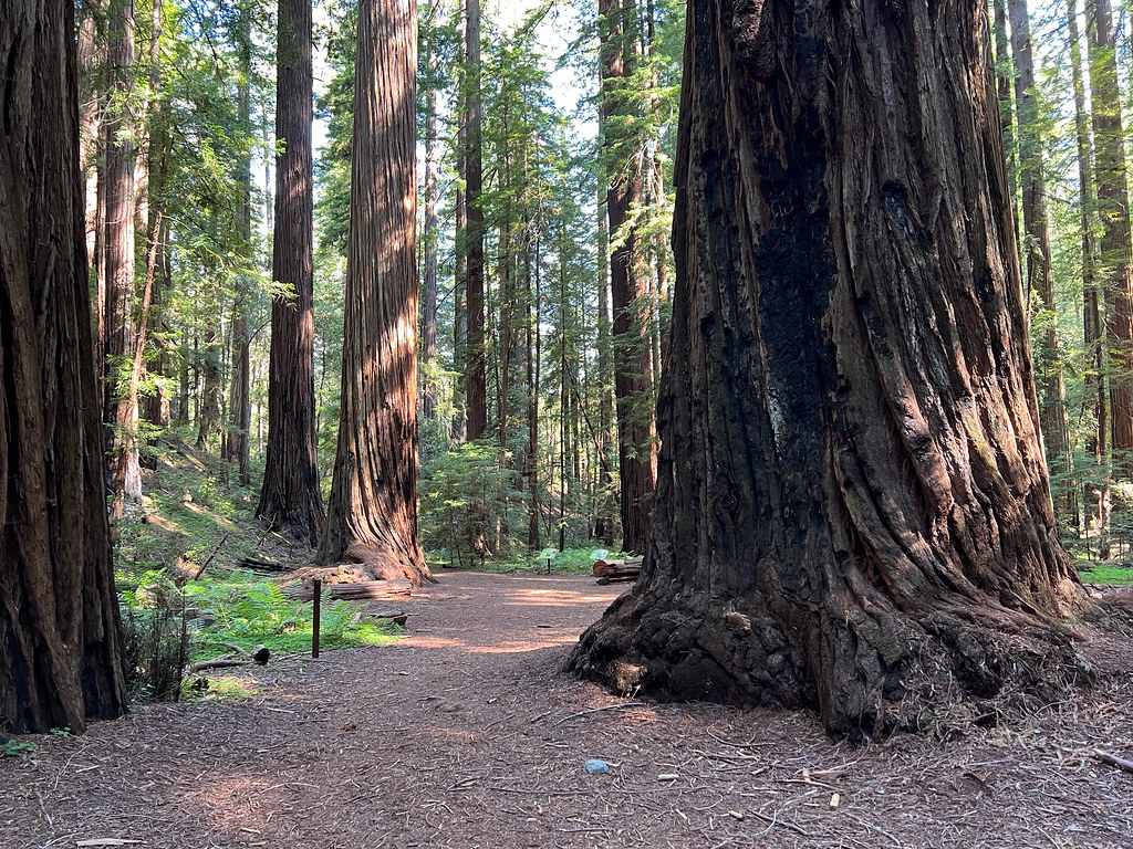 Montgomery TrailHikingPhoto: daveynin, CC BY 2.0 (via Flickr)7.6 mi
- Bushay Recreation AreaCamping7.7 mi
Source: Roamze catalog (indexable pages within 10 miles, PostGIS distance)
- Russian RiverCanoeing · ~6 min drivePhoto: The original uploader was Finlay McWalter at English Wikipedia., CC BY-SA 3.0 (via Wikimedia Commons)
- Pogie Point Boating SiteBoat launch · ~34 min drive
 Navarro RiverCanoeing · ~32 min drivePhoto: Clinton Steeds from Los Angeles, USA, CC BY 2.0 (via Wikimedia Commons)
 Albion RiverCanoeing · ~33 min drivePhoto: David Eppstein, CC BY-SA 3.0 (via Wikimedia Commons)
 Noyo RiverCanoeing · ~34 min drivePhoto: W Nowicki, CC BY-SA 3.0 (via Wikimedia Commons)
 Eel RiverCanoeing · ~42 min drivePhoto: Jan Kronsell, Public domain (via Wikimedia Commons)
 Outlet CreekCanoeing · ~25 min drivePhoto: Thewellman, CC0 (via Wikimedia Commons)
- Davis CreekCanoeing · ~10 min drive
- Baechtel CreekCanoeing · ~13 min drive
- Ackerman CreekCanoeing · ~14 min drive
Best time to visit Forsythe Creek
Best months: April–November. Best months have typical highs of 55–85 °F, lows of 30 °F or warmer (32 °F where the station doesn't record snow), at most one snowy day and no more than 12 wet days.
Jan
54° / 33°
15 wet
Feb
56° / 34°
13 wet
Mar
59° / 36°
14 wet
Apr
62° / 37°
11 wet
May
69° / 40°
6 wet
Jun
76° / 44°
2 wet
Jul
83° / 48°
0 wet
Aug
83° / 46°
0 wet
Sep
82° / 42°
2 wet
Oct
72° / 37°
6 wet
Nov
60° / 35°
12 wet
Dec
53° / 32°
14 wet
Typical high / low (°F) and days with rain or snow, 1991–2020. Measured at Willits 1 Ne, CA, 8.9 mi away at 1,353 ft. The station sits about 800 ft lower than this place, so expect it a little cooler here. This station doesn't record snowfall. Source: NOAA NCEI U.S. Climate Normals 1991–2020.
