Cotillion Garden RV Park
Campground
Campground · 1.8 mi from the trail
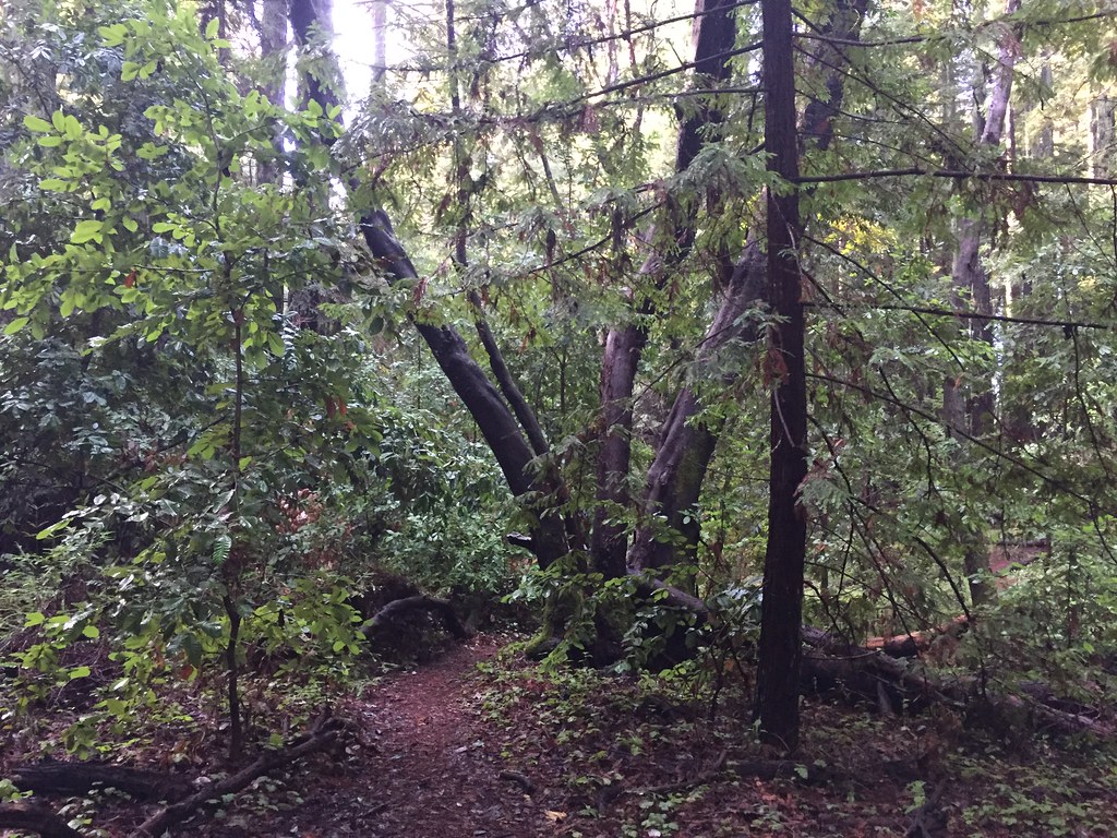 Photo: fogcat5, CC BY-SA 2.0 (via Flickr)
Woodcutter's Trail is a 3.8-mile out-and-back hike in Wilder Ranch State Park in California, managed by State Park and Recreation. The trail rises from about 1,114 feet to a high point of 1,235 feet, with a total elevation gain of 1,315 feet over the round trip. The climb is steady, and the steepest stretch comes at about 1.4 miles in, where the grade reaches 16 percent. Spring and fall are the most comfortable times to go. Typical averages from a nearby weather station show May highs around 80°F with only about four wet days, and October highs near 83°F with similar dry weather. That station sits well below the trail, so temperatures on the higher ground run cooler. The hike takes about two hours. The Chinquapin Trail starts just 0.1 mile away, and the North Meadow Trail and Seven Springs Trail are each about 0.4 mile off. Climbers can find the Santa Cruz climbing area about 0.3 mile away.
Cotillion Garden RV Park
Campground
 If it rainsMrwrite, CC BY-SA 3.0 · Wikimedia Commons
Places © OpenStreetMap contributors · Photos: Mrwrite, CC BY-SA 3.0 (commons)
More in PescaderoChinquapin TrailHikingPhoto: fogcat5, CC BY-SA 2.0 (via Flickr)0.1 mi North Meadow TrailHikingPhoto: Alexander Hatley, CC BY 2.0 (via Flickr)0.4 miSeven Springs TrailHikingPhoto: Alexander Hatley, CC BY 2.0 (via Flickr)0.4 mi
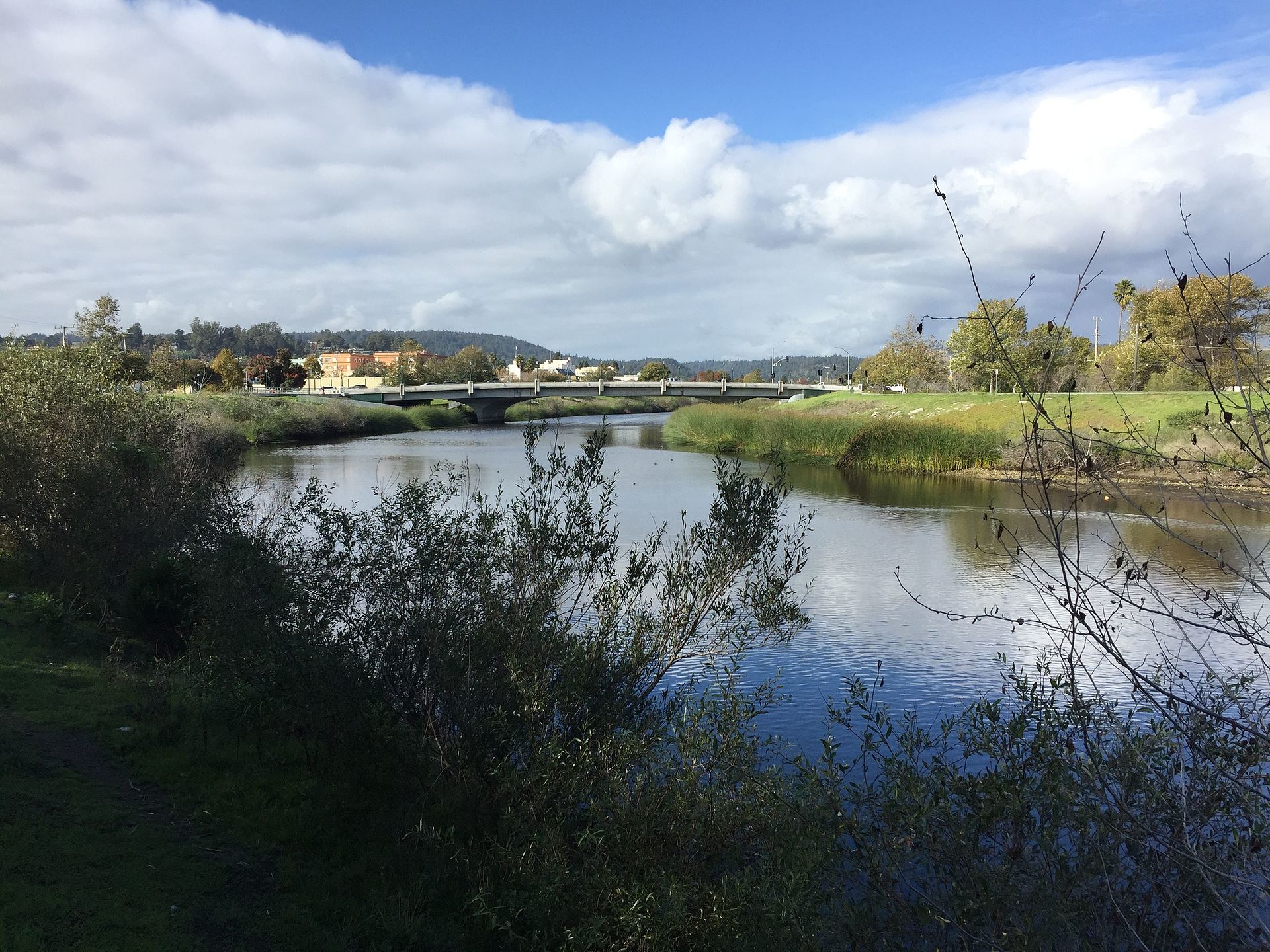 San Lorenzo RiverCanoeingPhoto: Chevy111, CC BY-SA 4.0 (via Wikimedia Commons)5.6 mi
Source: Roamze catalog (indexable pages within 10 miles, PostGIS distance)
North Meadow TrailHiking · Next doorPhoto: Alexander Hatley, CC BY 2.0 (via Flickr)Holiday TrailHiking · Next doorPhoto: fogcat5, CC BY-SA 2.0 (via Flickr)Seven Springs TrailHiking · Next doorPhoto: Alexander Hatley, CC BY 2.0 (via Flickr) River TrailHiking · ~3 min drivePhoto: BoltSnypr, CC BY 3.0 (via Wikimedia Commons)
 Chinquapin TrailHiking · ~1 min drivePhoto: fogcat5, CC BY-SA 2.0 (via Flickr)
 Bear Mountain TrailHiking · ~4 min drivePhoto: mutovkin, CC BY 2.0 (via Flickr)Picnic LoopHiking · ~1 min drivePhoto: fogcat5, CC BY-SA 2.0 (via Flickr)
 Fall Creek TrailHiking · ~4 min drivePhoto: Alexander Hatley, CC BY 2.0 (via Flickr)Ridge TrailHiking · ~1 min drivePhoto: Alexander Hatley, CC BY 2.0 (via Flickr)
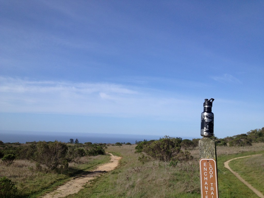 Enchanted Loop TrailHiking · ~4 min drivePhoto: fogcat5, CC BY-SA 2.0 (via Flickr)
Best months: October–June. Best months have typical highs of 55–85 °F, lows of 30 °F or warmer (32 °F where the station doesn't record snow), at most one snowy day and no more than 12 wet days.
Jan
65° / 37°
12 wet
Feb
67° / 39°
12 wet
Mar
71° / 40°
10 wet
Apr
75° / 42°
7 wet
May
80° / 46°
4 wet
Jun
85° / 49°
2 wet
Jul
88° / 51°
0 wet
Aug
90° / 51°
1 wet
Sep
89° / 49°
1 wet
Oct
83° / 44°
4 wet
Nov
71° / 40°
8 wet
Dec
64° / 37°
12 wet
Typical high / low (°F) and days with rain or snow, 1991–2020. Measured at Ben Lomond #4, CA, 4.8 mi away at 420 ft. The station sits about 800 ft lower than this place, so expect it a little cooler here. Source: NOAA NCEI U.S. Climate Normals 1991–2020.
Map and trail data © OpenStreetMap contributors
