Rancho Del Oso Horse Camp
Campground
Campground · 5.7 mi from the trail
Huyya (Tree) Trail West is a short, easy mountain biking route on Bureau of Land Management land in California's Central Coast Field Office, about 0.3 miles from the Toróma (Wildcat) Trail South. The trail is an out-and-back, roughly 0.6 miles long, with a one-way climb of about 150 feet from a low point of 181 feet to a high of 347 feet. Spring and fall are the most comfortable times to ride. Typical averages from a nearby weather station show May highs around 80°F with only about four wet days, and October highs near 83°F with similar dry weather. Summer runs hotter, with August highs around 90°F. Dogs are allowed on a leash. The Huyya (Tree) Trail East and Káknu (Hawk) Trail East are both about 0.3 miles away, and Scott Creek, a canoeing spot, is about 4.4 miles off.
Rancho Del Oso Horse Camp
Campground
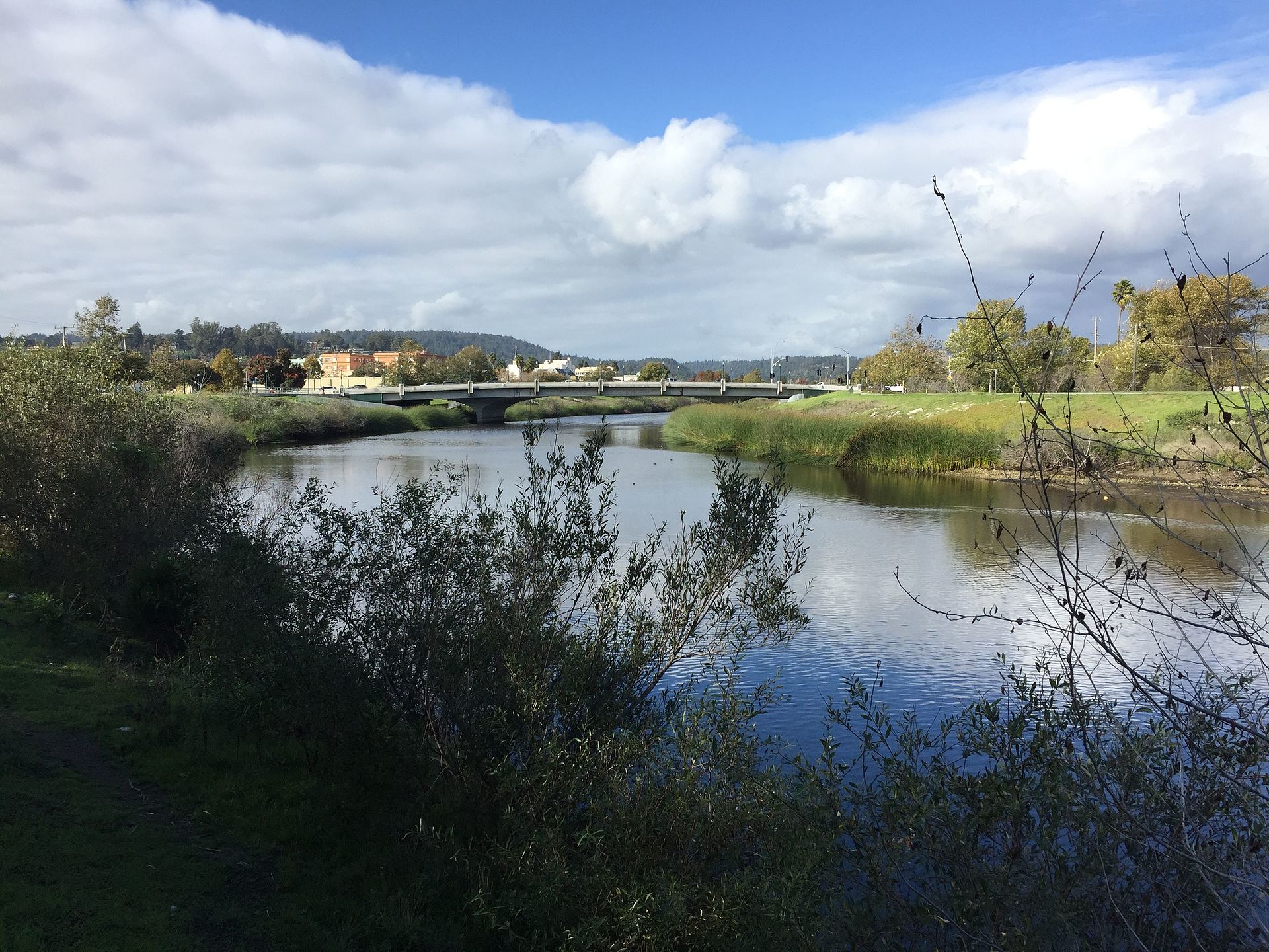
 If it rainsMrwrite, CC BY-SA 3.0 · Wikimedia Commons
Places © OpenStreetMap contributors · Photos: Mrwrite, CC BY-SA 3.0 (commons)
More in PescaderoNot on Roamze yet. Their page has how to reach them.
 San Lorenzo RiverCanoeingPhoto: Chevy111, CC BY-SA 4.0 (via Wikimedia Commons)7.4 mi
Source: Roamze catalog (indexable pages within 10 miles, PostGIS distance)
 Goat Rock TrailMountain biking · ~25 min drivePhoto: Vadim Manuylov, CC BY-SA 3.0 (via Wikimedia Commons)
 Saratoga Gap TrailMountain biking · ~25 min drivePhoto: Vadim Manuylov, CC BY-SA 3.0 (via Wikimedia Commons)
 Summit Rock Loop TrailMountain biking · ~26 min drivePhoto: Vadim Manuylov, CC BY-SA 3.0 (via Wikimedia Commons)
Best months: October–June. Best months have typical highs of 55–85 °F, lows of 30 °F or warmer (32 °F where the station doesn't record snow), at most one snowy day and no more than 12 wet days.
Jan
65° / 37°
12 wet
Feb
67° / 39°
12 wet
Mar
71° / 40°
10 wet
Apr
75° / 42°
7 wet
May
80° / 46°
4 wet
Jun
85° / 49°
2 wet
Jul
88° / 51°
0 wet
Aug
90° / 51°
1 wet
Sep
89° / 49°
1 wet
Oct
83° / 44°
4 wet
Nov
71° / 40°
8 wet
Dec
64° / 37°
12 wet
Typical high / low (°F) and days with rain or snow, 1991–2020. Measured at Ben Lomond #4, CA, 7.8 mi away at 420 ft. Source: NOAA NCEI U.S. Climate Normals 1991–2020.
Map and trail data © OpenStreetMap contributors
