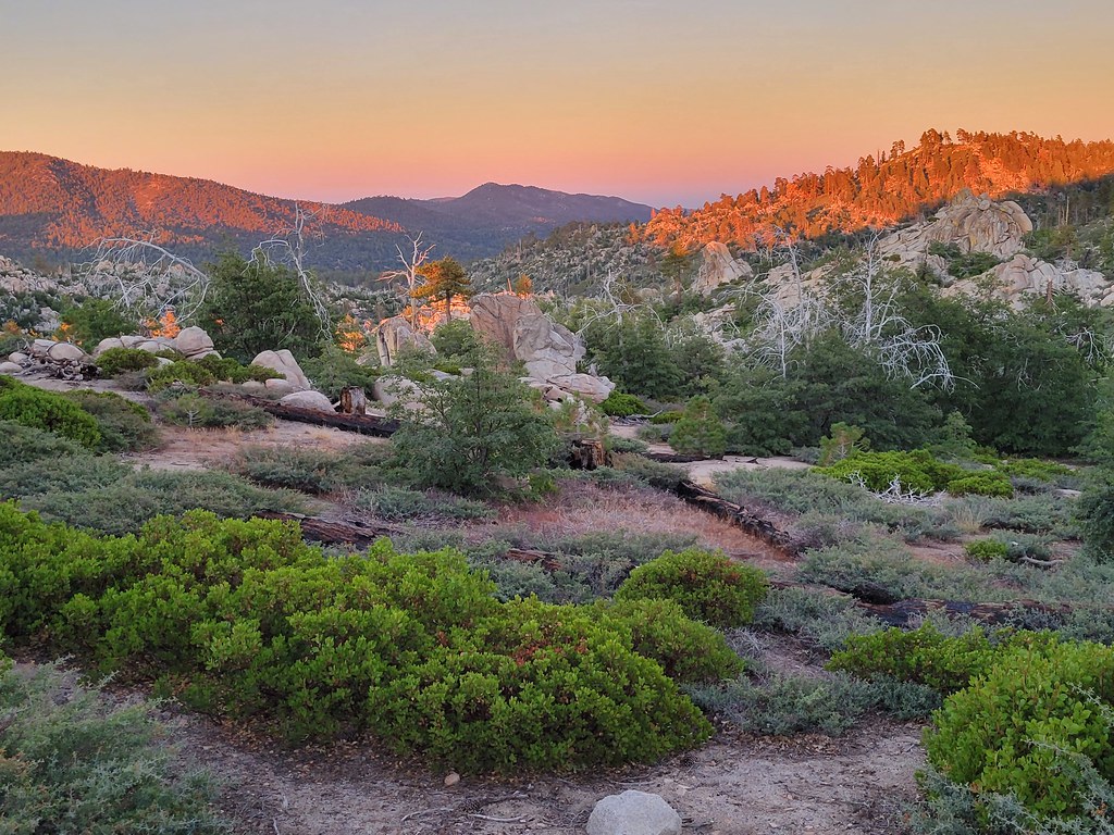
Grays Peak Group Camp
Campground
Campground · 0.8 mi from the trail
Closure in the area
There's a closure order in Mountaintop Ranger District. It doesn't name Hanna Flat Trail, so check the source for the area it covers.
Radford Fire Closure Area
Agency closure covering Mountaintop Ranger District · Order 05-12-52-24-06 · USFS · Mountaintop Ranger District
Safety Alert - Falling Rocks at Bonita Falls
Agency alert covering San Bernardino National Forest · USFS · San Bernardino National Forest
Fire Restrictions
Agency alert covering San Bernardino National Forest · Order 05-12-00-26-05 · USFS · San Bernardino National Forest
As of · Source: USFS · Mountaintop Ranger District. Agencies don't list every closure — check before you go.
Hanna Flat Trail is a short, easy mountain biking route in the Mountaintop Ranger District of San Bernardino National Forest in California, managed by the Forest Service. The trail is about 0.7 miles long, with a one-way climb of about 44 feet from a low point of 7,112 feet to a high of 7,158 feet. It is an out-and-back. Summer and early fall are the most comfortable times to ride. Typical averages from a nearby weather station in Big Bear Lake, at a similar elevation, show July highs around 80°F and September highs near 73°F. Winter months bring highs in the mid-40s and lows near 24°F. Grays Peak and Gray's Peak Trail sit just 0.1 mile away, and Fawnskin Tower, a climbing area, is about 0.4 mile off. Hanna Flat campground is about 1.8 miles away.
Grays Peak Group Camp
Campground
Big Bear Moose Lodge
Restaurant
 If it rainsBeyond My Ken, CC BY-SA 4.0 · Wikimedia Commons
Deep Creek Hot Springs
Hot spring
Natural hot springs located in San Bernardino National Forest, California, United States
Places © OpenStreetMap contributors · Photos: Beyond My Ken, CC BY-SA 4.0 (commons)
More in Lucerne ValleyNot on Roamze yet. Their page has how to reach them.
 Grays PeakHikingPhoto: stevelyon, CC BY-SA 2.0 (via Flickr)0.1 miGray's Peak TrailHikingPhoto: stevelyon, CC BY-SA 2.0 (via Flickr)0.1 mi
Source: Roamze catalog (indexable pages within 10 miles, PostGIS distance)
 Castle RockMountain biking · ~4 min drivePhoto: inkknife_2000 (7.5 million views +), CC BY-SA 2.0 (via Wikimedia Commons)
 Going GreenMountain biking · ~7 min drivePhoto: Niceley, CC BY-SA 4.0 (via Wikimedia Commons)
 Clark's GradeMountain biking · ~8 min drivePhoto: inkknife_2000 (7.5 million views +), CC BY-SA 2.0 (via Wikimedia Commons)Muscle BeachMountain biking · ~8 min drivePhoto: Niceley, CC BY-SA 4.0 (via Wikimedia Commons)
Best months: May–October. Best months have typical highs of 55–85 °F, lows of 30 °F or warmer (32 °F where the station doesn't record snow), at most one snowy day and no more than 12 wet days.
Jan
46° / 24°
6 wet
Feb
46° / 24°
6 wet
Mar
51° / 27°
6 wet
Apr
57° / 31°
4 wet
May
66° / 37°
2 wet
Jun
75° / 43°
1 wet
Jul
80° / 50°
2 wet
Aug
79° / 49°
3 wet
Sep
73° / 44°
2 wet
Oct
63° / 35°
2 wet
Nov
53° / 28°
3 wet
Dec
46° / 24°
6 wet
Typical high / low (°F) and days with rain or snow, 1991–2020. Measured at Big Bear Lake, CA, 2.9 mi away at 6,753 ft. This station doesn't record snowfall. Source: NOAA NCEI U.S. Climate Normals 1991–2020.
Map and trail data © OpenStreetMap contributors