Dark Side
- 0.2 mi
- round trip
- 133 ft
- climb
- Singletrack
- surface
- Out and back
- route
Dark Side is a short, hard mountain biking route in Trione-Annadel State Park in California, managed by State Park and Recreation. It sits about 0.17 miles from the park's center, and the whole trip is an out-and-back of about 0.34 miles with a total climb of 133 feet. The route is short but steep. The steepest part comes at about 0.11 miles, with a grade of 6 percent, and the climb is roughly 58 feet one way. That makes it a quick but challenging ride for mountain bikers. Late spring and early fall are the most comfortable times to go. Typical averages from a nearby weather station in Santa Rosa show May highs around 74°F and October highs near 79°F, while winter brings the most wet days, about 13 to 14 a month from December through February. Several trails start close by. The North Burma Trail is about 0.2 miles away, the Warren Richardson Trail about 0.4 miles, and the Two Quarry Trail about 0.5 miles. Paddlers can find Santa Rosa Creek about 2.4 miles off.
Local outfitters
- Sonoma Valley Bike Tours & Rentals14 mi away
- Parkwide Bike and Surrey Rentals45 mi away
Not on Roamze yet. Their page has how to reach them.
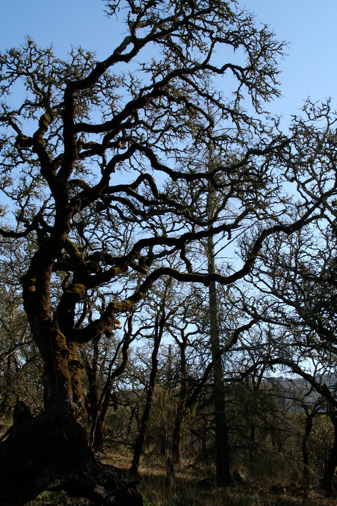 North Burma TrailHikingPhoto: Mike Disharoon, CC BY-SA 2.0 (via Flickr)0.2 mi
- Warren Richardson TrailHiking0.4 mi
- Two Quarry TrailHiking0.5 mi
 Santa Rosa CreekCanoeingPhoto: Covalent at en.wikipedia, CC BY-SA 3.0 (via Wikimedia Commons)2.4 mi
- Hide Out BoulderRock climbing5.4 mi
- Sugarloaf RidgeRock climbing6 mi
- Sonoma CreekCanoeing7.7 mi
 Mark West CreekCanoeingPhoto: Stepheng3 at English Wikipedia, Public domain (via Wikimedia Commons)8.2 mi
Source: Roamze catalog (indexable pages within 10 miles, PostGIS distance)
- Valley of the Moon TrailMountain biking · ~13 min drive
- Northwest Shoreline TrailMountain biking · ~23 min drive
- Sam the EagleMountain biking · ~25 min drive
- Old Man's BeardMountain biking · ~25 min drive
- Cougar TrailMountain biking · ~13 min drive
- Hiddenbrooke Connector TrailMountain biking · ~52 min drive
- Smith'sMountain biking · ~25 min drive
- Valentine VistaMountain biking · ~26 min drive
- Valley of the Moon TrailMountain biking · ~13 min drive
- Hiddenbrooke TrailMountain biking · ~53 min drive
Also worth it near here
- North Burma TrailHiking · Next doorPhoto: Mike Disharoon, CC BY-SA 2.0 (via Flickr)
 Bennett MountainSummit · ~3 min drivePhoto: User:Anlace, CC BY-SA 3.0 (via Wikimedia Commons)
- Santa Rosa CreekCanoeing · ~4 min drivePhoto: Covalent at en.wikipedia, CC BY-SA 3.0 (via Wikimedia Commons)
- Merganser CampgroundCamping · ~6 min drive
Map and trail data © OpenStreetMap contributors
