Merganser Campground
Campground
Campground · 2.9 mi from the trail
Clear today
Weather is good · OpenWeather · checked 7 h ago
Warren Richardson Trail is a 1.6-mile moderate hike in Trione-Annadel State Park in California, managed by State Park and Recreation. The trail is an out-and-back that climbs about 530 feet from a low point of 720 feet to a high of 999 feet, with the steepest stretch at about 1.4 miles in, where the grade reaches 21%. The round trip is roughly 3.2 miles and takes about 1.5 hours. Late spring and early fall are the most comfortable times to go. Typical averages from a nearby weather station in Santa Rosa show May highs around 74°F and October highs near 79°F, with only a few wet days in each. That station sits well below the trail, so temperatures on the route run cooler. Two Quarry Trail starts just 0.1 mile away, and Steve's "S" Trail is about 0.6 mile off. Dark Side, a mountain biking area, is 0.4 mile away. Paddlers can head to Santa Rosa Creek, about 2.5 miles away.
Merganser Campground
Campground
 If it rainsJERRYE AND ROY KLOTZ MD, CC BY-SA 3.0 · Wikimedia Commons
Blue Wing Inn
Museum
Places © OpenStreetMap contributors, Places © Overture Maps Foundation · Photos: JERRYE AND ROY KLOTZ MD, CC BY-SA 3.0 (commons)
More in TemelecNot on Roamze yet. Their page has how to reach them.
 Santa Rosa CreekCanoeingPhoto: Covalent at en.wikipedia, CC BY-SA 3.0 (via Wikimedia Commons)2.5 mi
 Mark West CreekCanoeingPhoto: Stepheng3 at English Wikipedia, Public domain (via Wikimedia Commons)8.5 mi
Source: Roamze catalog (indexable pages within 10 miles, PostGIS distance)
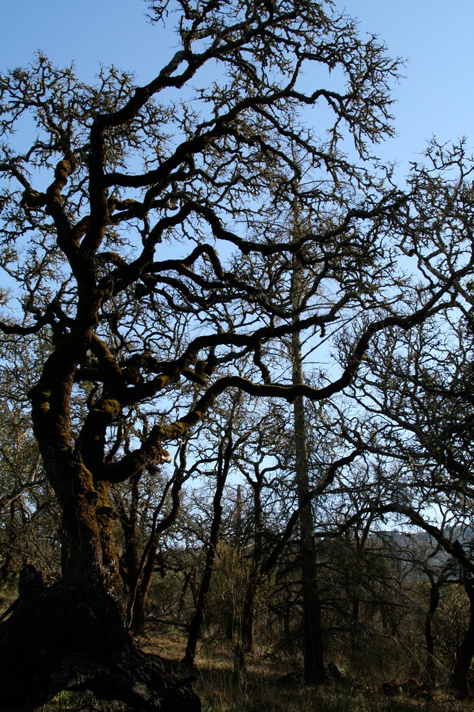 North Burma TrailHiking · ~1 min drivePhoto: Mike Disharoon, CC BY-SA 2.0 (via Flickr)
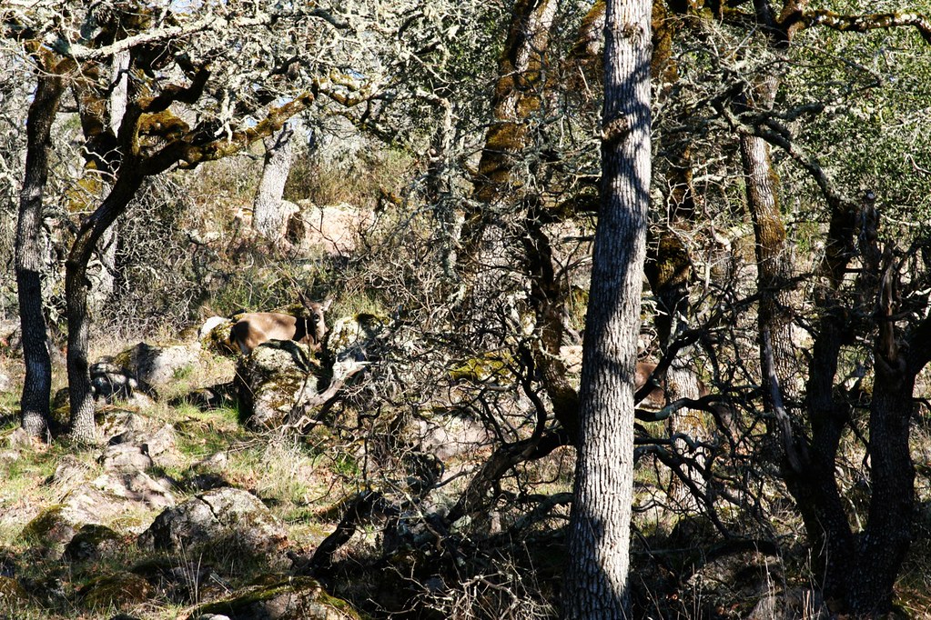 Lake TrailHiking · ~2 min drivePhoto: Mike Disharoon, CC BY-SA 2.0 (via Flickr)
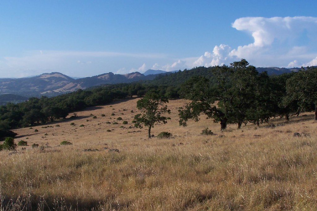 Canyon TrailHiking · ~3 min drivePhoto: ((brian)), CC BY 2.0 (via Flickr)Louis TrailHiking · ~2 min drivePhoto: Mike Disharoon, CC BY-SA 2.0 (via Flickr)
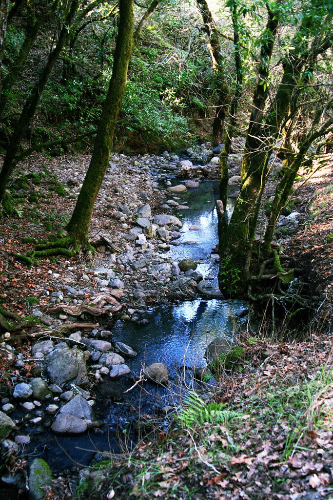 Cobblestone TrailHiking · ~3 min drivePhoto: Mike Disharoon, CC BY-SA 2.0 (via Flickr)
 Live Oak TrailHiking · ~2 min drivePhoto: Alex, CC0 (via Wikimedia Commons)
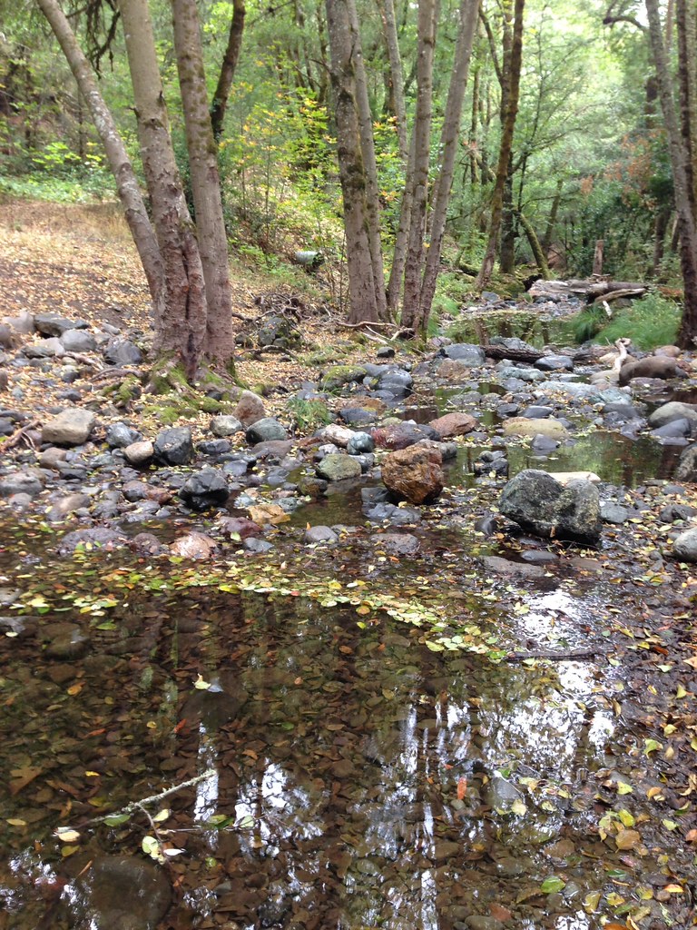 Hood Mountain TrailHiking · ~6 min drivePhoto: regexman, CC BY 2.0 (via Flickr)
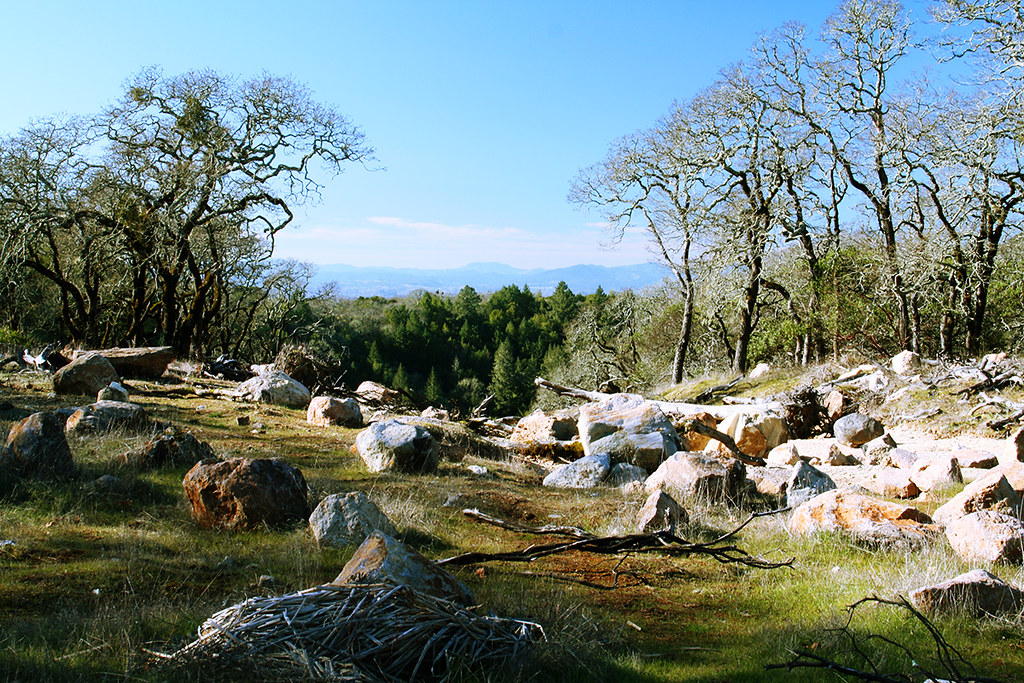 Spring Creek TrailHiking · ~2 min drivePhoto: Mike Disharoon, CC BY-SA 2.0 (via Flickr)
Also worth it near here
Best months: March–November. Best months have typical highs of 55–85 °F, lows of 30 °F or warmer (32 °F where the station doesn't record snow), at most one snowy day and no more than 12 wet days.
Jan
60° / 38°
14 wet
Feb
64° / 40°
13 wet
Mar
67° / 42°
12 wet
Apr
71° / 44°
8 wet
May
74° / 48°
5 wet
Jun
80° / 51°
2 wet
Jul
82° / 52°
0 wet
Aug
83° / 52°
1 wet
Sep
84° / 51°
1 wet
Oct
79° / 48°
4 wet
Nov
67° / 42°
9 wet
Dec
59° / 38°
13 wet
Typical high / low (°F) and days with rain or snow, 1991–2020. Measured at Santa Rosa, CA, 5.7 mi away at 166 ft. The station sits about 800 ft lower than this place, so expect it a little cooler here. Source: NOAA NCEI U.S. Climate Normals 1991–2020.
Map and trail data © OpenStreetMap contributors

