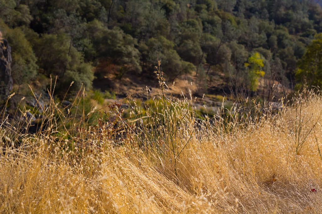
Ruck-a-Chucky Campground
Campground
Campground · 4.6 mi from the trail
Connector Trail is a mountain biking route in Auburn State Recreation Area in California, managed by State Park and Recreation. The trail is an out-and-back that starts and ends at the same low point, about 1,400 feet, and reaches a high of about 1,560 feet over a round-trip distance of about 4.2 miles. The climb is gentle, with a total elevation gain of about 216 feet. Spring and fall are the most comfortable times to ride. Typical averages from a nearby weather station in Auburn show May and October highs around 77°F, while July and August average in the low 90s. Lakeview Connector Trail lies just 0.1 mile away, and the Lake Clementine Access Trail and Stonewall Trail are both within half a mile. Climbers can find Bar Rock about a mile off.
Ruck-a-Chucky Campground
Campground
Szechuan Food
Restaurant
Places © OpenStreetMap contributors
More in Nevada CityNot on Roamze yet. Their page has how to reach them.
Best months: October–May. Best months have typical highs of 55–85 °F, lows of 30 °F or warmer (32 °F where the station doesn't record snow), at most one snowy day and no more than 12 wet days.
Jan
56° / 38°
11 wet
Feb
59° / 40°
10 wet
Mar
63° / 42°
9 wet
Apr
68° / 45°
7 wet
May
77° / 52°
5 wet
Jun
86° / 58°
2 wet
Jul
93° / 63°
0 wet
Aug
92° / 63°
1 wet
Sep
87° / 60°
1 wet
Oct
77° / 52°
3 wet
Nov
64° / 43°
7 wet
Dec
56° / 37°
10 wet
Typical high / low (°F) and days with rain or snow, 1991–2020. Measured at Auburn, CA, 4.4 mi away at 1,292 ft. This station doesn't record snowfall. Source: NOAA NCEI U.S. Climate Normals 1991–2020.
 Photo: UncleVinny, CC BY 3.0 (via Wikimedia Commons)
West Ridge Trail
~14 min drive
2.25-mile dirt trail in Salmon Falls Ranch, California, gaining 489 ft.
 Photo: UncleVinny, CC BY 3.0 (via Wikimedia Commons)
Long Valley Trail
~14 min drive
0.88-mile trail in Salmon Falls Ranch, California with 166 ft elevation gain.
Photo: UncleVinny, CC BY 3.0 (via Wikimedia Commons)Down & Up Trail
~15 min drive
2.40-mile dirt trail at Salmon Falls Ranch with 589 ft gain
Photo: UncleVinny, CC BY 3.0 (via Wikimedia Commons)East Ridge Trail
~15 min drive
East Ridge Trail is a 0.79-mile route at Salmon Falls Ranch with 266 ft of elevation gain.
Photo: UncleVinny, CC BY 3.0 (via Wikimedia Commons)West Ravine Trail
~15 min drive
1.86-mile through-trail in Salmon Falls Ranch, California, gaining 546 ft on dirt.
Photo: UncleVinny, CC BY 3.0 (via Wikimedia Commons)South Fork American River Trail
~18 min drive
6.71-mile dirt trail in Salmon Falls Ranch, California with 1,404 ft of elevation gain.
RIDE
Lakeview Connector Trail
Next door
0.12-mile out-and-back singletrack with 60 ft elevation gain in California.
RIDE
Confluence Trail
~2 min drive
1.75-mile out-and-back trail in California with 1,143 ft of elevation gain.
RIDE
Connector Trail
~2 min drive
RIDE
Connector Trail
~2 min drive
1.28-mile out-and-back singletrack in California with 1080 ft elevation gain.
Map and trail data © OpenStreetMap contributors