Clear Creek Ditch Trail
- 2.1 mi
- round trip
- 84 ft
- climb
- Singletrack
- surface
- Out and back
- route
- Feb–May, Oct–Nov
- best months
Clear Creek Ditch Trail is a short, easy mountain biking route on Bureau of Land Management land in the Redding Field Office, about 2 miles from the town of Redding, California. The trail is an out-and-back, roughly 4 miles long, with a low point of about 956 feet and a high of about 1,047 feet. The climb is gentle, with an elevation gain of about 84 feet one way. Spring and fall are the most comfortable times to ride. Typical averages from a nearby weather station show May highs around 79°F and October highs around 78°F, while July and August average near 99°F. K'aysas, a mountain biking route, sits just 0.2 miles away, and Meiner's Trail and Snail Trail are both about half a mile off. For an overnight stay, Peltier Bridge Primitive Campground is about 4 miles away.
- K'aysasMountain biking0.2 mi
- Meiner's TrailHiking0.5 mi
- Snail TrailMountain biking0.5 mi
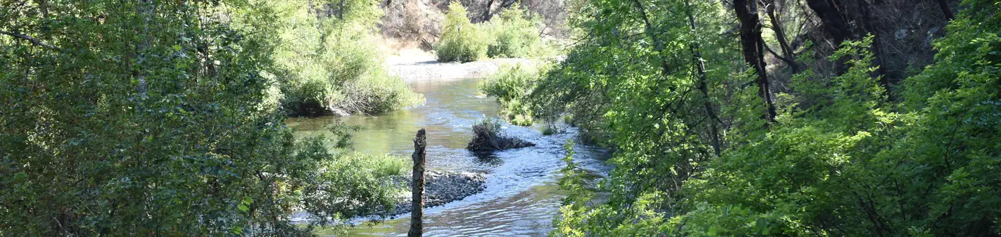 Peltier Bridge Primitive CampgroundSaltwater fishing4 mi
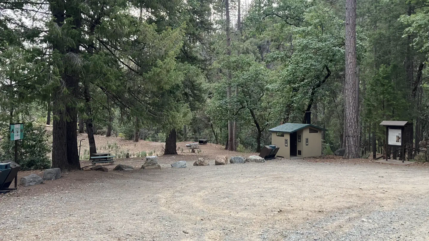 Sheep Camp Primitive CampgroundSaltwater fishing6.4 mi
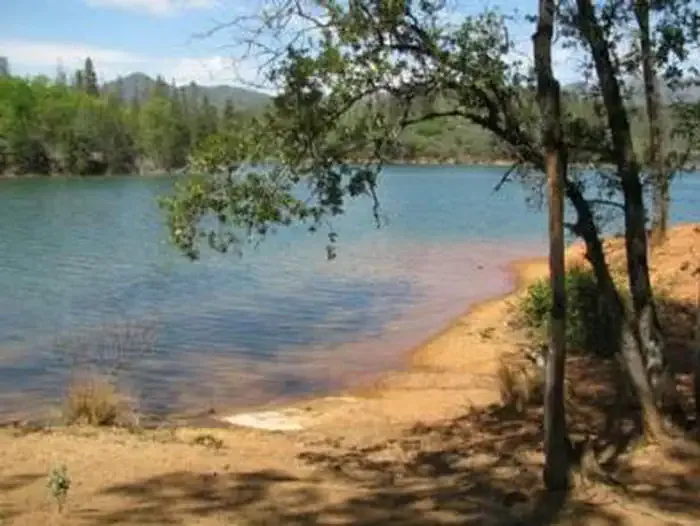 DRY CREEK GROUP CAMPGROUND (Whiskeytown NRA)CampingPhoto: Recreation.gov (RIDB) / public domain7 mi
- Whiskey Creek Group Picnic Area (Whiskeytown NRA)Camping7.4 mi
- North Fork Cottonwood CreekCanoeing9.8 mi
Source: Roamze catalog (indexable pages within 10 miles, PostGIS distance)
- K'aysasMountain biking · Next door
- Snail TrailMountain biking · Next door
- Mule RidgeMountain biking · ~4 min drive
- Waters GulchMountain biking · ~31 min drive
- Dirt Road ConnectMountain biking · Next door
- CosmosMountain biking · ~3 min drive
- Clikaputi TrailMountain biking · ~31 min drive
- Clikapudi CMountain biking · ~34 min drive
- Princess Ditch TrailMountain biking · ~4 min drive
- Clikaputi Loop TrailMountain biking · ~32 min drive
Best time to visit Clear Creek Ditch Trail
Best months: February–May and October–November. Best months have typical highs of 55–85 °F, lows of 30 °F or warmer (32 °F where the station doesn't record snow), at most one snowy day and no more than 12 wet days.
Jan
54° / 39°
14 wet
Feb
58° / 41°
12 wet
Mar
63° / 43°
12 wet
Apr
70° / 47°
10 wet
May
79° / 55°
7 wet
Jun
89° / 62°
4 wet
Jul
99° / 67°
1 wet
Aug
98° / 65°
1 wet
Sep
92° / 61°
2 wet
Oct
78° / 52°
5 wet
Nov
62° / 44°
10 wet
Dec
53° / 39°
14 wet
Typical high / low (°F) and days with rain or snow, 1991–2020. Measured at Whiskeytown Rsvr, CA, 4.6 mi away at 1,295 ft. This station doesn't record snowfall. Source: NOAA NCEI U.S. Climate Normals 1991–2020.
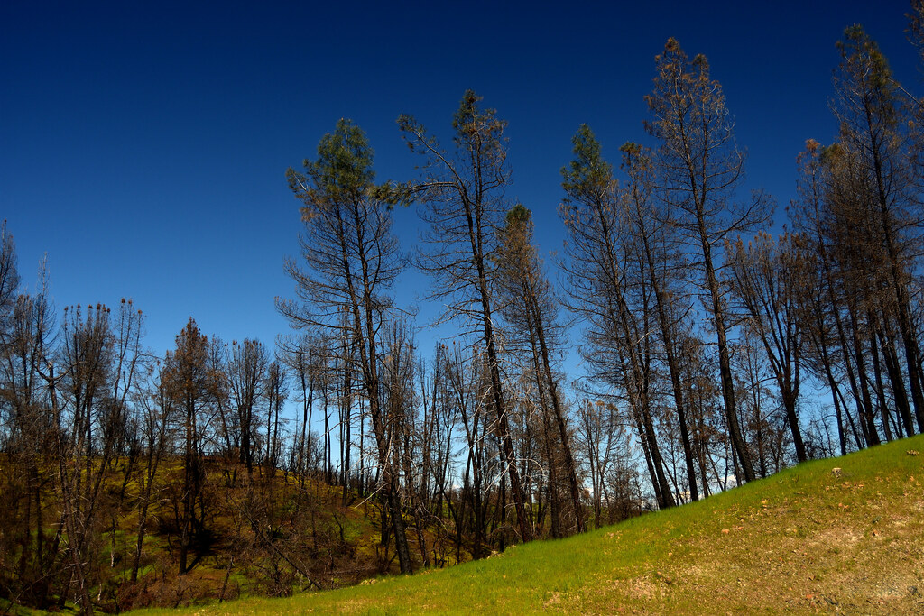
Map and trail data © OpenStreetMap contributors
