Woodside Spring Trail
- 0.9 mi
- round trip
- 1,088 ft
- climb
- 2,108 ft
- high point
- Out and back
- route
Woodside Spring Trail is a moderate hike in Pleasanton Ridge Regional Park, a regional park in California. The trail is about a mile long and is an out-and-back route that reaches a high point of 2,108 feet, climbing roughly 600 feet from its starting elevation of about 1,930 feet. The climb is steady, with the steepest stretch around half a mile in at about 24%. The trail is set on regional agency land, and the Bay Valley View Trail starts just 0.1 mile away, making it easy to pair the two. The Live Oak Loop Trail is about 0.7 mile off, and the Aquila Trail is about a mile away. Paddlers can head to Arroyo de la Laguna, roughly 1.6 miles from the trail.
Conditions and forecast on Sunol Peak
Daily highs and lows, wind and the chance of precipitation at the summit and route start for the next 7 days, from the Open-Meteo model.
- Bay Valley View TrailHiking0.1 mi
- Live Oak Loop TrailHiking0.7 mi
- Aquila TrailHiking1 mi
 Arroyo de la LagunaCanoeingPhoto: Alameda County Resource Conservation District, CC BY-SA 4.0 (via Wikimedia Commons)1.6 mi
 Alameda CreekCanoeingPhoto: Pi.1415926535, CC BY-SA 4.0 (via Wikimedia Commons)7.3 mi
 Indian Joe Caves boulderingRock climbingPhoto: npdoty, CC BY 2.0 (via Flickr)8.2 mi
- Indian Joe CavesRock climbingPhoto: npdoty, CC BY 2.0 (via Flickr)8.2 mi
- Cleavage RockRock climbing8.2 mi
Source: Roamze catalog (indexable pages within 10 miles, PostGIS distance)
 Tyler Loop TrailHiking · ~3 min drivePhoto: leighklotz, CC BY 2.0 (via Flickr)
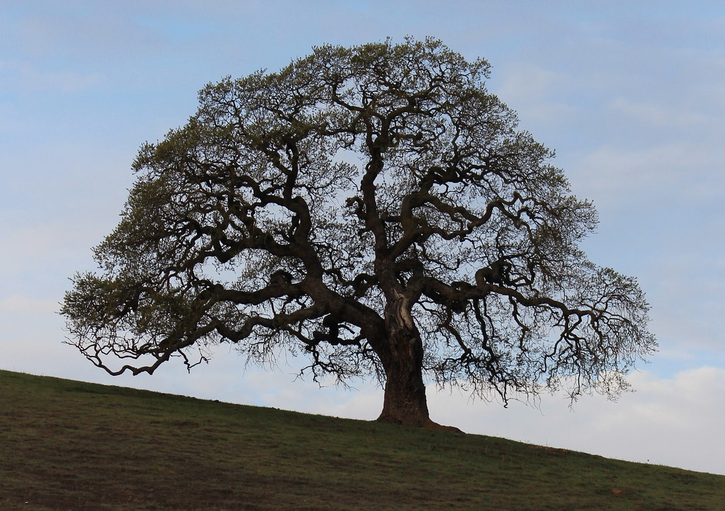 Callippe Preserve TrailHiking · ~5 min drivePhoto: DreamSailors, CC BY 2.0 (via Flickr)
- Bay Valley View TrailHiking · Next door
 Upper Ranch TrailHiking · ~4 min drivePhoto: btwashburn, CC BY 2.0 (via Flickr)
 Cliff TrailHiking · ~6 min drivePhoto: btwashburn, CC BY 2.0 (via Flickr)
- Grassland TrailHiking · ~2 min drive
 Golden Eagle TrailHiking · ~4 min drivePhoto: btwashburn, CC BY 2.0 (via Flickr)
 Tolman Peak TrailHiking · ~7 min drivePhoto: Pussreboots, CC BY 2.0 (via Flickr)
- Valley View TrailHiking · ~3 min drive
- Deer Gulch TrailHiking · ~4 min drivePhoto: btwashburn, CC BY 2.0 (via Flickr)
Route details
- Distance
- 0.9 mi round trip
- Climbing
- About 1,088 ft
- Summit
- 2,188 ft
- Difficulty
- Moderate
- Time
- About 0.5 hours
Other routes up Sunol Peak
Questions about this route
How long is the Woodside Spring Trail on Sunol Peak?
About 0.9 mi round trip.
How much elevation gain is on the Woodside Spring Trail?
About 1,088 ft of climbing round trip.
How hard is the Woodside Spring Trail?
It is rated moderate.
How long does the Woodside Spring Trail take?
About 0.5 hours round trip.
How many routes go up Sunol Peak?
2: Woodside Spring Trail and Sunol Ridge Trail.
Map and trail data © OpenStreetMap contributors
