Woodland Ridge Trail
- 1.1 mi
- loop
- 526 ft
- climb
- 620 ft
- high point
- Loop
- route
- Feb–May, Oct–Dec
- best months
Woodland Ridge Trail is a 1.1-mile loop in California, about 2.8 miles from the town of Cozzens Corner. The trail rises from a low point of 249 feet to a high of 620 feet, with a total gain and loss of 526 feet, and it's rated easy. The climb is front-loaded, with the steepest stretch at about 0.88 miles into the route and a maximum grade of 22 percent. The trail is short enough to fit into a half day, and its loop format makes it a simple in-and-out outing. Spring and fall are the most comfortable times to go. Typical averages from a nearby weather station in Cloverdale show April highs around 74°F and October highs around 81°F, while July and August average in the low 90s. Camping is close by, with Boat-in Sites at Lake Sonoma about 0.3 miles away and Warm Springs Rec Area about 0.4 miles away. Overlook Trail and South Lake Trail are also within a mile.
Local outfitters
- Point Reyes Outdoors46 mi away
Not on Roamze yet. Their page has how to reach them.
- Boat-in Sites (lake Sonoma)Camping0.3 mi
- Warm Springs Rec AreaCamping0.4 mi
 Overlook TrailHikingPhoto: sarahstierch, Public Domain Dedication (CC0) (via Flickr)0.5 mi
- South Lake TrailHikingPhoto: sarahstierch, Public Domain Dedication (CC0) (via Flickr)0.6 mi
- Peña CreekCanoeing3.2 mi
- The Untamed RocksRock climbing6.3 mi
- Wine CountryRock climbing8.7 mi
- Little Sulphur CreekCanoeing9 mi
Source: Roamze catalog (indexable pages within 10 miles, PostGIS distance)
- Overlook TrailHiking · Next doorPhoto: sarahstierch, Public Domain Dedication (CC0) (via Flickr)
- South Lake TrailHiking · Next doorPhoto: sarahstierch, Public Domain Dedication (CC0) (via Flickr)
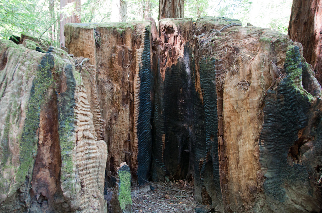 Gilliam Creek TrailHiking · ~19 min drivePhoto: Paul and Jill, CC BY 2.0 (via Flickr)
 East Ridge TrailHiking · ~21 min drivePhoto: sarahstierch, Public Domain Dedication (CC0) (via Flickr)
 Crowley's Lake View TrailHiking · ~3 min drivePhoto: vonguard, CC BY-SA 2.0 (via Flickr)
 Pool Ridge TrailHiking · ~20 min drivePhoto: mutovkin, CC BY 2.0 (via Flickr)
- Rancheria TrailHiking · ~8 min drive
 Pioneer Nature TrailHiking · ~21 min drivePhoto: sarahstierch, Public Domain Dedication (CC0) (via Flickr)
- Pool Ridge TrailHiking · ~20 min drivePhoto: mutovkin, CC BY 2.0 (via Flickr)
- North Slope TrailHiking · ~4 min drive
Best time to visit Woodland Ridge Trail
Best months: February–May and October–December. Best months have typical highs of 55–85 °F, lows of 30 °F or warmer (32 °F where the station doesn't record snow), at most one snowy day and no more than 12 wet days.
Jan
60° / 38°
13 wet
Feb
63° / 40°
11 wet
Mar
68° / 42°
10 wet
Apr
74° / 45°
7 wet
May
82° / 50°
4 wet
Jun
89° / 54°
1 wet
Jul
94° / 55°
0 wet
Aug
93° / 55°
0 wet
Sep
90° / 54°
1 wet
Oct
81° / 49°
4 wet
Nov
67° / 42°
8 wet
Dec
59° / 38°
12 wet
Typical high / low (°F) and days with rain or snow, 1991–2020. Measured at Cloverdale, CA, 5.7 mi away at 400 ft. Source: NOAA NCEI U.S. Climate Normals 1991–2020.
Map and trail data © OpenStreetMap contributors
