Loading…

Free — you'll pick up right here.
Watch this trail
Sign up to watch it — saving subscribes you to gate, closure and report changes.
California
6.1 mi
Distance
2,500 ft
Gain
We won't guess. Here is exactly what we do and don't know.
What we do know
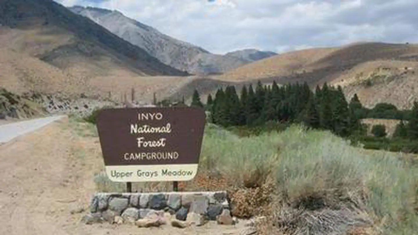
Inside Inyo National Forest
3 managing-area boundaries mapped — agency alerts for them feed this page automatically.
Boundary data
What's missing
No access route mapped
We don't yet know which road reaches this trailhead, so we can't tell you if it's gated.
Nobody's filed a report here yet — be the first.
Why you'll love it
Winnedumah Vis
AI-suggested draft · review before you go
No permit or access details on file for this trail — check with the local land manager before you go.
Winnedumah Vis offers a moderately challenging alpine hike with significant elevation gain through the Eastern Sierra landscape. This 6.1-mile route climbs 2,500 feet to reach scenic vistas, rewarding hikers with expansive views of the surrounding peaks and valleys. The trail combines steady climbing through varied terrain typical of the high desert transition zone.
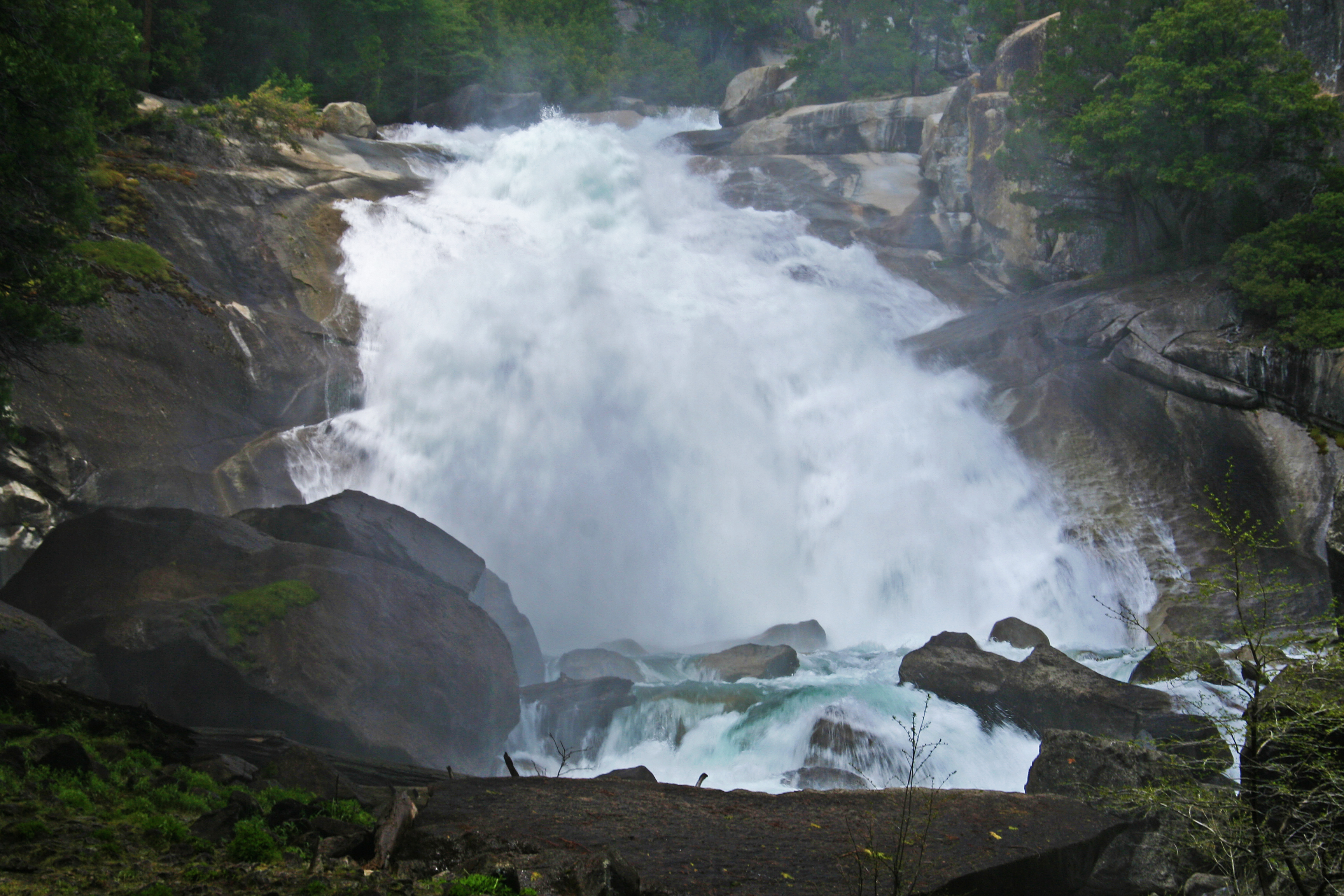
Mist Falls
~45 min drive
<p>The 8-mile round-trip walk to this spectacular cascade makes a great all-day walk. The first miles are relatively flat and open; in the last mile the wooded trail gains 600' in elevation. Be careful once there: Mist and spray make the surrounding rocks slippery and treacher…
Seephole Spring-Lead Canyon
~2 min drive
Moderate desert canyon hike with 2,822 ft elevation gain and seasonal water features.
Sidehill Springs
~11 min drive
Easy 1.44-mile foothills walk with minimal elevation gain.
Golden Trout Lake
~28 min drive
Steep alpine hike to a pristine high-elevation lake in the Sierra Nevada.
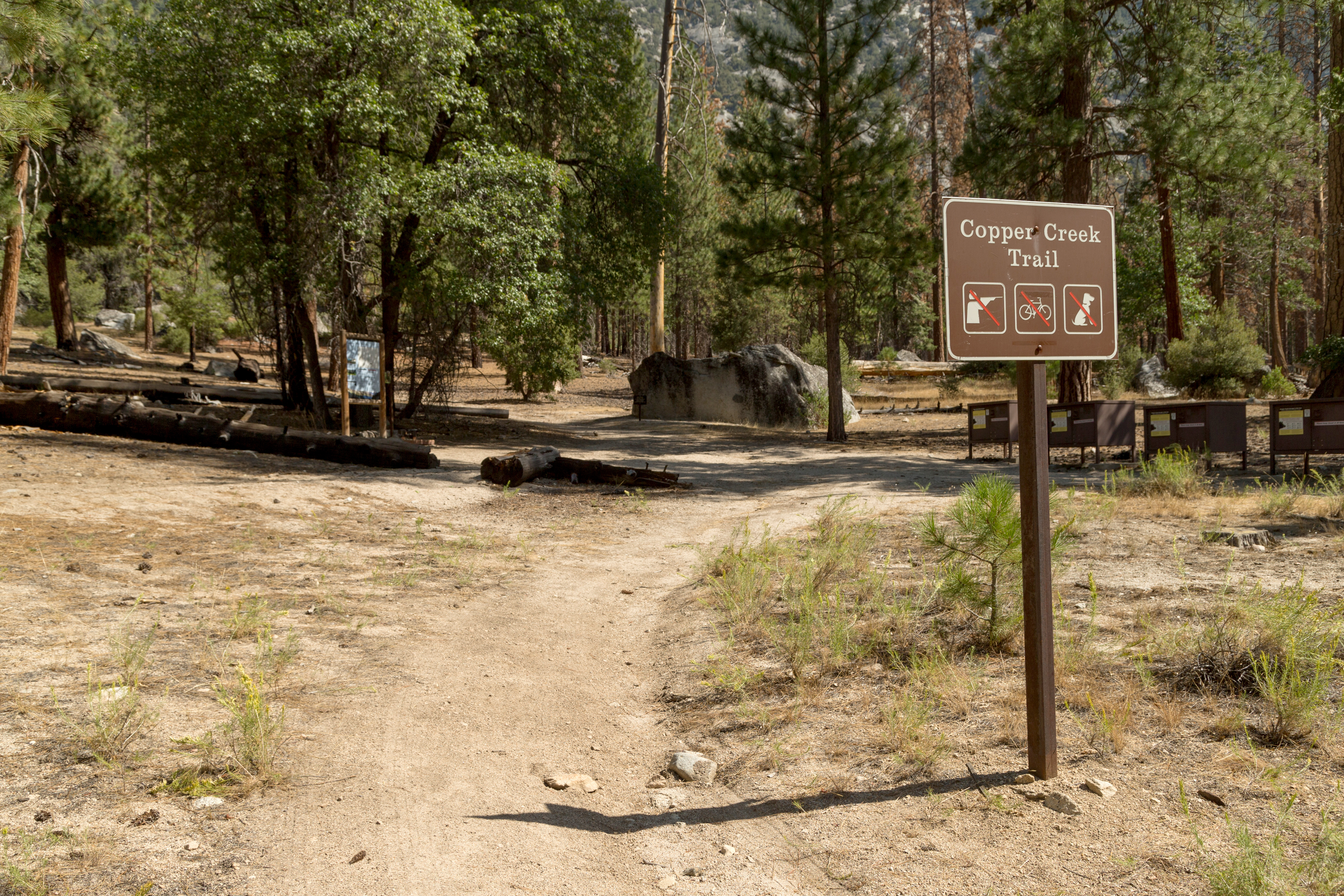
Copper Creek
~49 min drive
<p>This trailhead orientation panel shows a map and images of the Copper Creek Trail area.<br /> <br /> Copper Creek Trail is 10 miles one-way (20 miles round-trip) at a difficult incline. The trail travels through several aspen forests and meadows, ending at Granite Lake, a s…
Tamarack Canyon
~11 min drive
Scenic canyon hike with steady elevation gain and natural water features.
Shepherd Pack
~25 min drive
Short, scenic climb with 752 ft gain near Shepherd Pack.
Taboose Pass
~29 min drive
Steep Eastern Sierra climb to a remote alpine pass with dramatic mountain views.
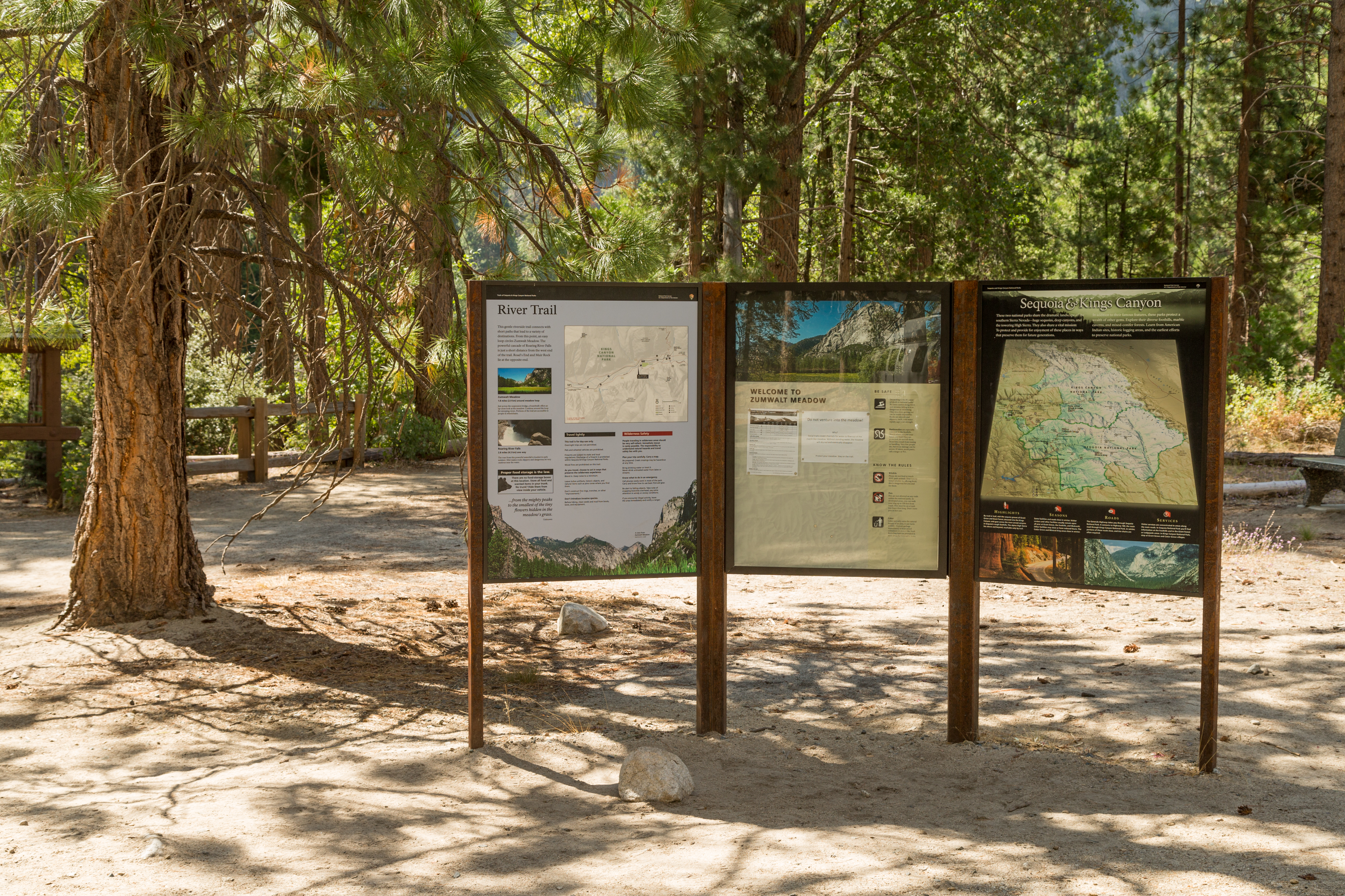
Zumwalt Meadow Trailhead
~50 min drive
<p> </p> <p>This trailhead orientation panel shows a map and images of the Zumwalt Meadow area.</p> <h4>River Safety</h4> <p>Most of the year, the river flows gently along one side of the meadow, but in spring and early summer the water is cold an currents are swift. Be carefu…
Pat Keyes Spring
~17 min drive
Moderate 4.51-mile desert/foothill hike to a natural spring.