Blair Valley Primitive Campground
Campground
Campground · 4.5 mi from the trail
 Photo: GSEC, CC BY 2.0 (via Flickr)
Whale Peak Trail is a moderate out-and-back hike in Anza-Borrego Desert State Park in California, managed by State Park and Recreation. The trail starts at about 4,100 feet and climbs to a high point of 5,332 feet, with a total gain of 1,767 feet over a round trip of about 4.3 miles. The steepest stretch comes within the first 0.08 miles, with a grade of about 31 percent. Spring and fall are the most comfortable times to go. Typical averages from a nearby weather station at Mt Laguna show May highs around 68°F and October highs around 67°F, while winter highs sit near 50°F with lows in the low 30s. The hike takes about 2.5 hours. Smuggler Canyon and the Pictograph/Smuggler's Canyon Trail are both within about 2.4 miles. Climbers can head to Blair Valley, about 3.6 miles away, or The Octagon Area, about 3.8 miles away.
Blair Valley Primitive Campground
Campground
Blue Jay Lodge
Restaurant
Inspiration Point
Viewpoint
Places © OpenStreetMap contributors
More in JulianNot on Roamze yet. Their page has how to reach them.
Daily highs and lows, wind and the chance of precipitation at the summit and route start for the next 7 days, from the Open-Meteo model.
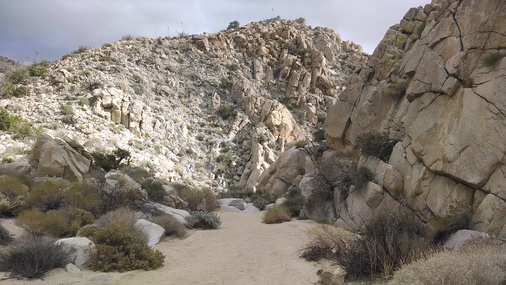 Smuggler CanyonHikingPhoto: theforestprimeval, CC BY-SA 2.0 (via Flickr)2.2 mi
 Pictograph/Smuggler's Canyon TrailHikingPhoto: theforestprimeval, CC BY-SA 2.0 (via Flickr)2.4 mi
 California Riding and Hiking TrailHikingPhoto: BOB PERRY, CC BY 3.0 (via Wikimedia Commons)4.1 mi
 Yaquitepec/Marshal South Home TrailHikingPhoto: BOB PERRY, CC BY 3.0 (via Wikimedia Commons)4.4 mi
Source: Roamze catalog (indexable pages within 10 miles, PostGIS distance)
Smuggler CanyonHiking · ~4 min drivePhoto: theforestprimeval, CC BY-SA 2.0 (via Flickr)Pictograph/Smuggler's Canyon TrailHiking · ~4 min drivePhoto: theforestprimeval, CC BY-SA 2.0 (via Flickr)California Riding and Hiking TrailHiking · ~7 min drivePhoto: BOB PERRY, CC BY 3.0 (via Wikimedia Commons) Pacific Crest National Scenic Trail #2000Hiking · ~15 min drivePhoto: lhogue46, CC BY 2.0 (via Flickr)
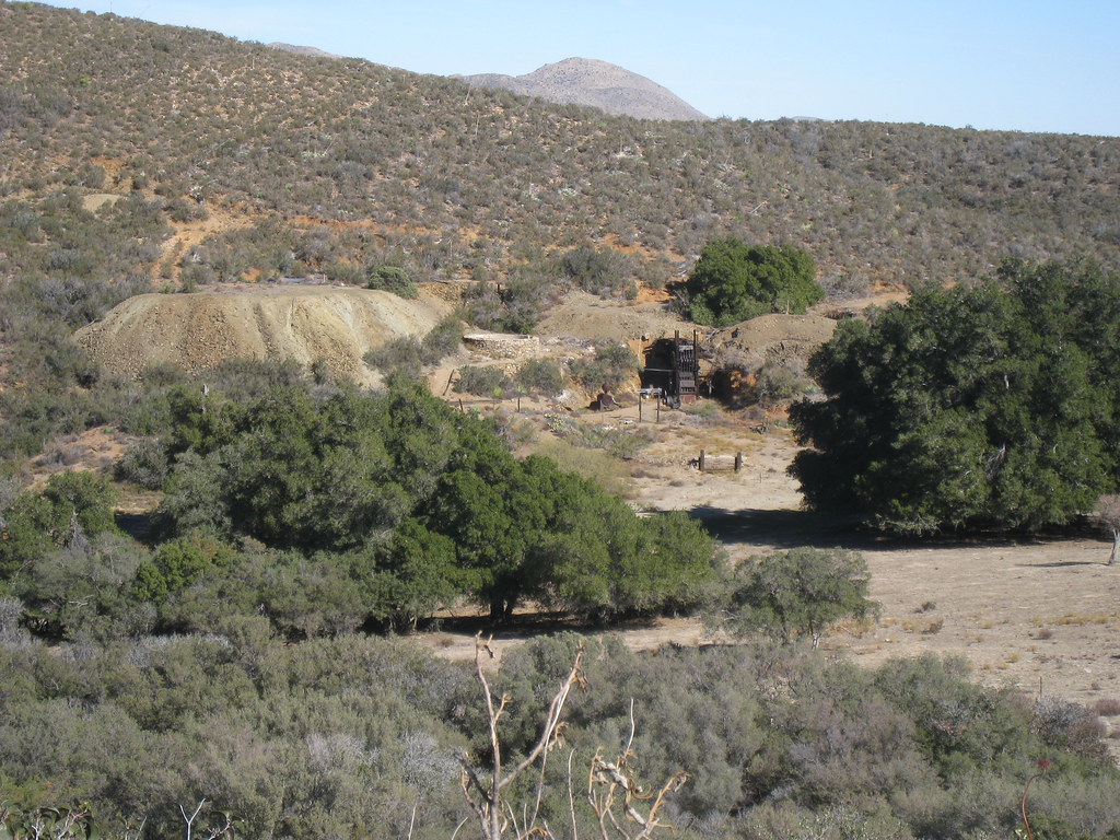 Rodriguez Spur Truck TrailHiking · ~20 min drivePhoto: GSEC, CC BY 2.0 (via Flickr)Yaquitepec/Marshal South Home TrailHiking · ~8 min drivePhoto: BOB PERRY, CC BY 3.0 (via Wikimedia Commons)
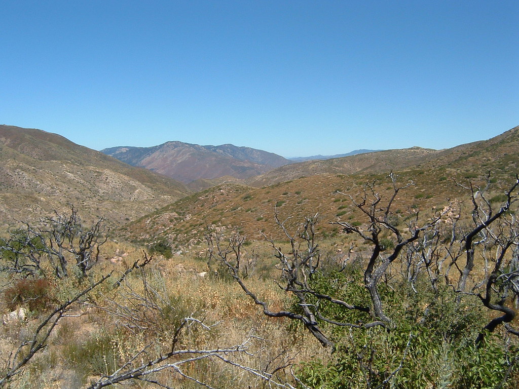 Pacific Crest National Scenic Trail #2000Hiking · ~19 min drivePhoto: lhogue46, CC BY 2.0 (via Flickr)California Riding and Hiking TrailHiking · ~20 min drivePhoto: GSEC, CC BY 2.0 (via Flickr)
 California Riding and Hiking TrailHiking · ~9 min drivePhoto: BOB PERRY, CC BY 3.0 (via Wikimedia Commons)
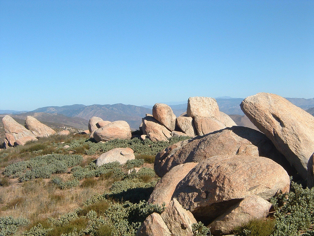 Pacific Crest National Scenic Trail #2000Hiking · ~20 min drivePhoto: lhogue46, CC BY 2.0 (via Flickr)
Best months: April–November. Best months have typical highs of 55–85 °F, lows of 30 °F or warmer (32 °F where the station doesn't record snow), at most one snowy day and no more than 12 wet days.
Jan
50° / 33°
Feb
50° / 34°
Mar
54° / 36°
Apr
61° / 40°
May
68° / 46°
Jun
78° / 53°
Jul
83° / 60°
Aug
82° / 58°
Sep
76° / 54°
Oct
67° / 45°
Nov
57° / 38°
Dec
51° / 34°
Typical high / low (°F) and days with rain or snow, 1991–2020. Measured at Mt Laguna #3, CA, 13.3 mi away at 5,920 ft. The station sits about 600 ft higher than this place, so expect it a little warmer here. This station doesn't record snowfall. Source: NOAA NCEI U.S. Climate Normals 1991–2020.
About 2.1 mi round trip.
About 1,767 ft of climbing round trip.
It is rated moderate.
About 1.5 hours round trip.
Map and trail data © OpenStreetMap contributors

