KOA San Francisco North (Petaluma)
Campground
Campground · 3.5 mi from the trail
West Wind Trail is an easy, short out-and-back hike in California, about half a mile from the town of Petaluma. The trail gains about 388 feet from its start, reaching a high point of 477 feet before returning. It is roughly a mile long, and the steepest stretch comes at about 0.35 miles, with a 12% grade. The trail works well as a quick outing. Late spring and early fall are the most comfortable times to go, with typical averages from a nearby weather station showing highs around 72°F in May and 76°F in October. That station sits well below the trail, so temperatures on the higher ground run cooler. Summer brings the fewest wet days, with highs near 81°F from July through September. The trip takes about half an hour, and the trail pairs easily with other walks in the area. Filaree Trail is less than half a mile away, and Pomo Trail and Ridge Trail are each about 0.6 miles off. For time on the water, Stemple Creek is about 9 miles away.
KOA San Francisco North (Petaluma)
Campground
Ray's Delicatessen & Tavern
Restaurant
Aviation museum in Sonoma, California
Places © OpenStreetMap contributors
More in TemelecNot on Roamze yet. Their page has how to reach them.
Source: Roamze catalog (indexable pages within 10 miles, PostGIS distance)
 Eagle Rim TrailHiking · ~11 min drivePhoto: Jesse Wagstaff, CC BY 2.0 (via Flickr)
 Lower Mount Burdell TrailHiking · ~12 min drivePhoto: npdoty, CC BY 2.0 (via Flickr)
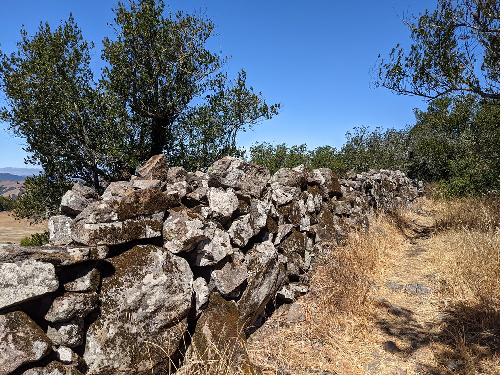 Upper Mount Burdell TrailHiking · ~12 min drivePhoto: Jesse Wagstaff, CC BY 2.0 (via Flickr)Old Quarry TrailHiking · ~11 min drivePhoto: Jesse Wagstaff, CC BY 2.0 (via Flickr)
 Miwok TrailHiking · ~12 min drivePhoto: Doug Letterman, CC BY 2.0 (via Flickr)
 Big Trees TrailHiking · ~15 min drivePhoto: lamblukas, CC BY 2.0 (via Flickr)
 Michako TrailHiking · ~13 min drivePhoto: Jesse Wagstaff, CC BY 2.0 (via Flickr)Fieldstone TrailHiking · ~14 min drivePhoto: Jesse Wagstaff, CC BY 2.0 (via Flickr)
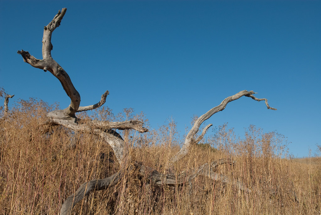 Stafford Lake TrailHiking · ~14 min drivePhoto: Jesse Wagstaff, CC BY 2.0 (via Flickr)Upper Meadow TrailHiking · ~15 min drivePhoto: lamblukas, CC BY 2.0 (via Flickr)
Best months: Year-round. Best months have typical highs of 55–85 °F, lows of 30 °F or warmer (32 °F where the station doesn't record snow), at most one snowy day and no more than 12 wet days.
Jan
58° / 39°
12 wet
Feb
61° / 40°
11 wet
Mar
64° / 42°
10 wet
Apr
68° / 44°
7 wet
May
72° / 47°
4 wet
Jun
78° / 50°
1 wet
Jul
81° / 52°
0 wet
Aug
81° / 53°
0 wet
Sep
82° / 51°
1 wet
Oct
76° / 48°
4 wet
Nov
65° / 42°
8 wet
Dec
58° / 38°
12 wet
Typical high / low (°F) and days with rain or snow, 1991–2020. Measured at Petaluma Ap, CA, 3.8 mi away at 20 ft. Source: NOAA NCEI U.S. Climate Normals 1991–2020.
Map and trail data © OpenStreetMap contributors

