KOA San Francisco North (Petaluma)
Campground
Campground · 4.1 mi from the trail
Panorama Trail is a short, easy hike in Helen Putnam Park, a county park in California, on land managed by the county. The trail is about 0.4 miles long and rises about 68 feet from its starting point, which sits at roughly 487 feet. The climb is front-loaded, with the steepest stretch at about 0.13 miles in, and the trail turns back on itself, so the total round-trip gain is about 102 feet. Late spring and early fall are the most comfortable times to go. Typical averages from a nearby weather station in Petaluma show May highs around 72°F and October highs around 76°F, with only a few wet days in each month. That station sits well below the trail, so temperatures on the trail run cooler. Several other trails start within a tenth of a mile, including Ridge Trail, Pomo Trail and South Loop Trail. For paddling, Stemple Creek is about 10 miles away.
KOA San Francisco North (Petaluma)
Campground
The Oaks
Pub
Aviation museum in Sonoma, California
Places © OpenStreetMap contributors, Places © Overture Maps Foundation
More in TemelecNot on Roamze yet. Their page has how to reach them.
Source: Roamze catalog (indexable pages within 10 miles, PostGIS distance)
 Eagle Rim TrailHiking · ~10 min drivePhoto: Jesse Wagstaff, CC BY 2.0 (via Flickr)
 Lower Mount Burdell TrailHiking · ~11 min drivePhoto: npdoty, CC BY 2.0 (via Flickr)
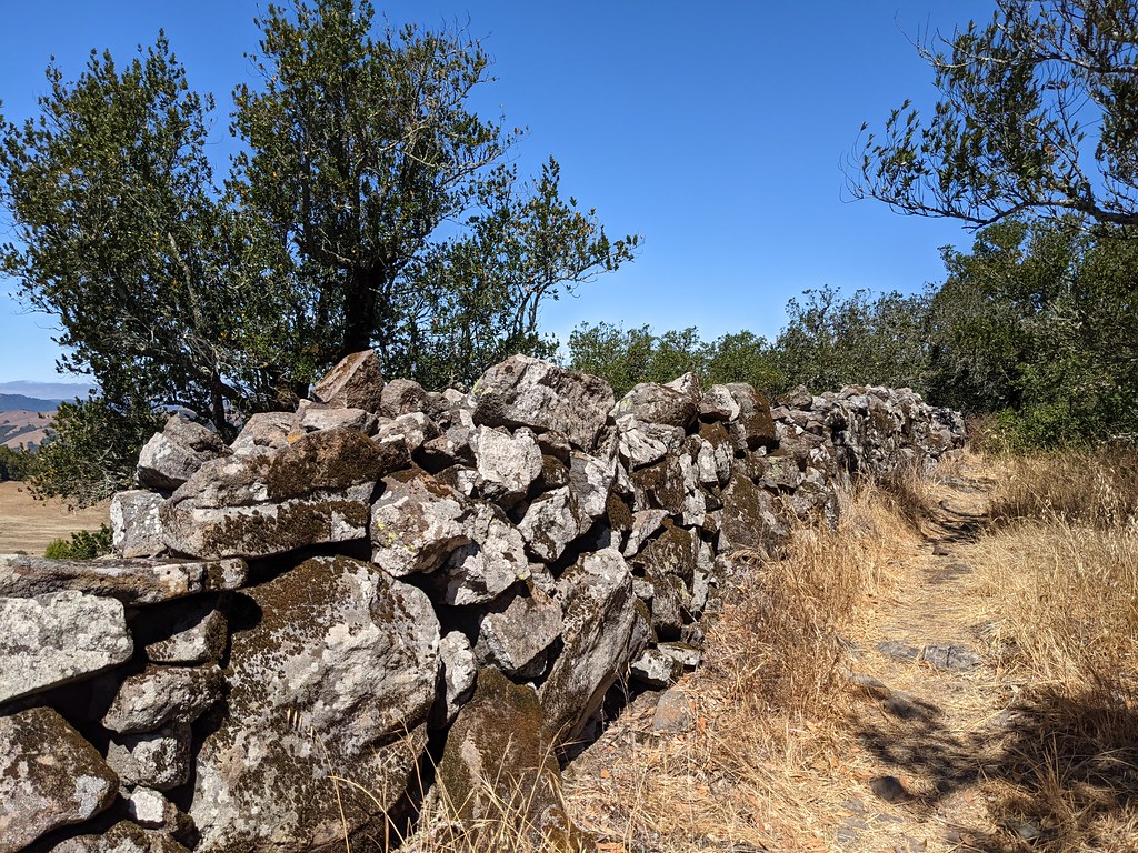 Upper Mount Burdell TrailHiking · ~11 min drivePhoto: Jesse Wagstaff, CC BY 2.0 (via Flickr)Old Quarry TrailHiking · ~10 min drivePhoto: Jesse Wagstaff, CC BY 2.0 (via Flickr)
 Miwok TrailHiking · ~11 min drivePhoto: Doug Letterman, CC BY 2.0 (via Flickr)
 Big Trees TrailHiking · ~14 min drivePhoto: lamblukas, CC BY 2.0 (via Flickr)
 Michako TrailHiking · ~12 min drivePhoto: Jesse Wagstaff, CC BY 2.0 (via Flickr)Fieldstone TrailHiking · ~13 min drivePhoto: Jesse Wagstaff, CC BY 2.0 (via Flickr)
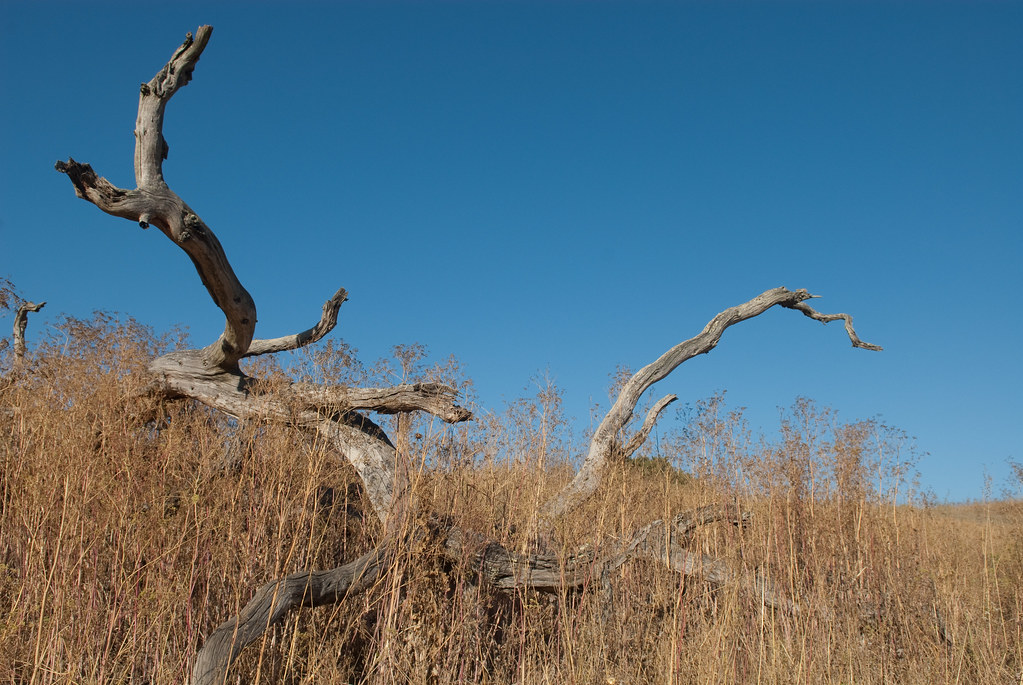 Stafford Lake TrailHiking · ~13 min drivePhoto: Jesse Wagstaff, CC BY 2.0 (via Flickr)Upper Meadow TrailHiking · ~14 min drivePhoto: lamblukas, CC BY 2.0 (via Flickr)
Best months: Year-round. Best months have typical highs of 55–85 °F, lows of 30 °F or warmer (32 °F where the station doesn't record snow), at most one snowy day and no more than 12 wet days.
Jan
58° / 39°
12 wet
Feb
61° / 40°
11 wet
Mar
64° / 42°
10 wet
Apr
68° / 44°
7 wet
May
72° / 47°
4 wet
Jun
78° / 50°
1 wet
Jul
81° / 52°
0 wet
Aug
81° / 53°
0 wet
Sep
82° / 51°
1 wet
Oct
76° / 48°
4 wet
Nov
65° / 42°
8 wet
Dec
58° / 38°
12 wet
Typical high / low (°F) and days with rain or snow, 1991–2020. Measured at Petaluma Ap, CA, 3.9 mi away at 20 ft. The station sits about 500 ft lower than this place, so expect it a little cooler here. Source: NOAA NCEI U.S. Climate Normals 1991–2020.
Map and trail data © OpenStreetMap contributors

