Visitor Center Trail
- 0.3 mi
- round trip
- 50 ft
- climb
- 20 ft
- high point
- Out and back
- route
- Jan–Dec
- best months
Visitor Center Trail is a short, easy hike on Tijuana Slough National Wildlife Refuge in California, managed by the U.S. Fish and Wildlife Service. The trail is an out-and-back that covers about 0.6 miles, with a total elevation gain of about 50 feet. It starts and ends at roughly 11 feet, and the climb is flat throughout. The most comfortable months for a visit are typically summer and early fall, when typical averages from a nearby weather station run from highs in the low 70s to around 75°F, with lows in the mid 60s. Winter is milder, with highs in the mid to upper 60s. The hike takes about half an hour, and the trail is close to several other routes. Clapper Rail Trail is about 0.4 miles away, South McCoy Trail about 0.7 miles, and Seacoast Trail and P.E.R.L. Loop Trail are both within about 2 miles.
Local outfitters
- Hike Bike Kayak Adventure Tours21 mi away
Not on Roamze yet. Their page has how to reach them.
- Clapper Rail TrailHiking0.4 mi
- South McCoy TrailHiking0.7 mi
 Seacoast TrailHikingPhoto: sergei.gussev, CC BY 2.0 (via Flickr)1.5 mi
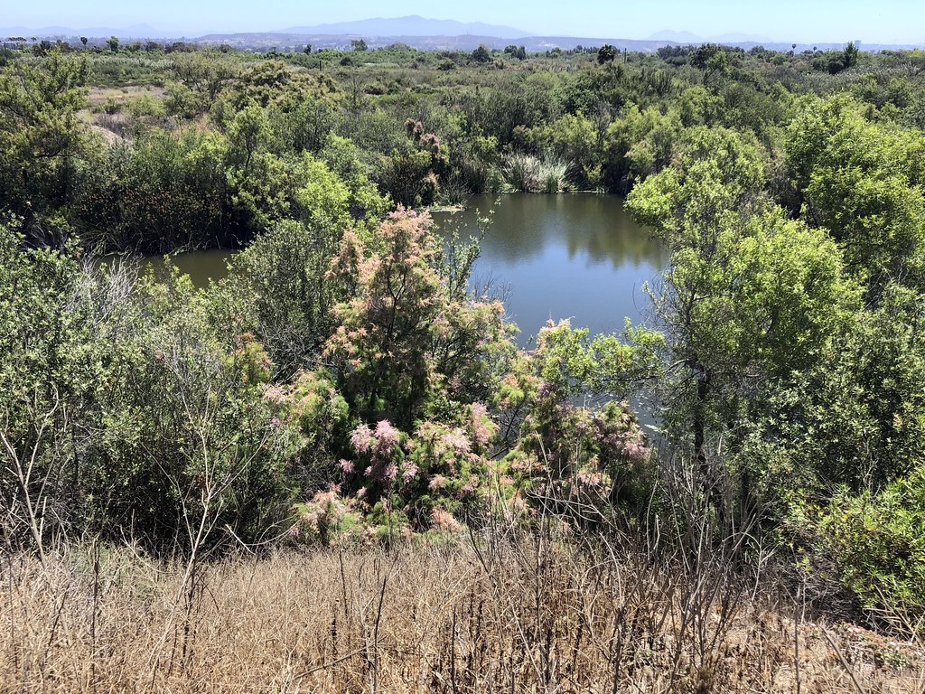 P.E.R.L. Loop TrailHikingPhoto: gary_leavens, CC BY-SA 2.0 (via Flickr)1.7 mi
- Marsh Spur TrailHikingPhoto: gary_leavens, CC BY-SA 2.0 (via Flickr)1.8 mi
- North Beach TrailHikingPhoto: gary_leavens, CC BY-SA 2.0 (via Flickr)2 mi
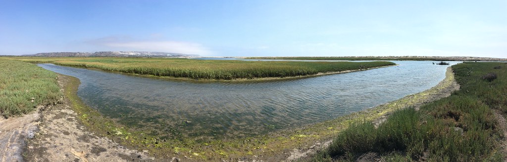 Beach TrailHikingPhoto: sergei.gussev, CC BY 2.0 (via Flickr)2.1 mi
- Coastal Trail NorthHikingPhoto: sergei.gussev, CC BY 2.0 (via Flickr)2.1 mi
Source: Roamze catalog (indexable pages within 10 miles, PostGIS distance)
- Visitor Center TrailHiking · ~1 min drivePhoto: sergei.gussev, CC BY 2.0 (via Flickr)
- North Beach TrailHiking · ~3 min drivePhoto: gary_leavens, CC BY-SA 2.0 (via Flickr)
- Mar CaspioHiking · ~9 min drive
- River Mouth LoopHiking · ~2 min drivePhoto: sergei.gussev, CC BY 2.0 (via Flickr)
- Spooners Mesa TrailHiking · ~5 min drivePhoto: gary_leavens, CC BY-SA 2.0 (via Flickr)
- Seacoast TrailHiking · ~3 min drivePhoto: sergei.gussev, CC BY 2.0 (via Flickr)
- Rock House TrailHiking · ~19 min drive
- P.E.R.L. Loop TrailHiking · ~3 min drivePhoto: gary_leavens, CC BY-SA 2.0 (via Flickr)
- Marsh Spur TrailHiking · ~3 min drivePhoto: gary_leavens, CC BY-SA 2.0 (via Flickr)
- Beach TrailHiking · ~4 min drivePhoto: sergei.gussev, CC BY 2.0 (via Flickr)
Best time to visit Visitor Center Trail
Best months: Year-round. Best months have typical highs of 55–85 °F, lows of 30 °F or warmer (32 °F where the station doesn't record snow), at most one snowy day and no more than 12 wet days.
Jan
67° / 47°
Feb
65° / 48°
Mar
66° / 51°
Apr
67° / 52°
May
68° / 57°
Jun
70° / 60°
Jul
73° / 64°
Aug
75° / 65°
Sep
75° / 62°
Oct
73° / 56°
Nov
70° / 50°
Dec
66° / 46°
Typical high / low (°F) and days with rain or snow, 1991–2020. Measured at Imperial Beach Ream Fld Nas, CA, 0.8 mi away at 24 ft. This station doesn't record snowfall. Source: NOAA NCEI U.S. Climate Normals 1991–2020.
Map and trail data © OpenStreetMap contributors
